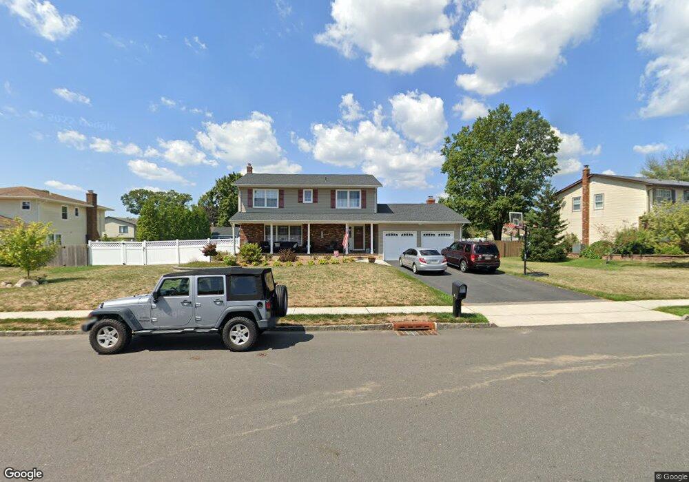
10 Michael McCorristin Rd Trenton, NJ 08690
Estimated Value: $669,549 - $786,000
--
Bed
--
Bath
2,334
Sq Ft
$306/Sq Ft
Est. Value
About This Home
This home is located at 10 Michael McCorristin Rd, Trenton, NJ 08690 and is currently estimated at $715,137, approximately $306 per square foot. 10 Michael McCorristin Rd is a home located in Mercer County with nearby schools including Langtree Elementary School, Richard C. Crockett Middle School, and Steinert - Hamilton High East.
Ownership History
Date
Name
Owned For
Owner Type
Purchase Details
Closed on
Jun 15, 2006
Sold by
Roberts Scott
Bought by
Omiatek Thomas and Omiatek Karen
Current Estimated Value
Home Financials for this Owner
Home Financials are based on the most recent Mortgage that was taken out on this home.
Original Mortgage
$398,400
Outstanding Balance
$235,535
Interest Rate
6.67%
Mortgage Type
Purchase Money Mortgage
Estimated Equity
$479,602
Purchase Details
Closed on
Jul 31, 2000
Sold by
Mcgrillies William
Bought by
Roberts Scott and Roberts Bonnie
Home Financials for this Owner
Home Financials are based on the most recent Mortgage that was taken out on this home.
Original Mortgage
$224,900
Interest Rate
8.21%
Mortgage Type
Purchase Money Mortgage
Create a Home Valuation Report for This Property
The Home Valuation Report is an in-depth analysis detailing your home's value as well as a comparison with similar homes in the area
Home Values in the Area
Average Home Value in this Area
Purchase History
| Date | Buyer | Sale Price | Title Company |
|---|---|---|---|
| Omiatek Thomas | $498,000 | -- | |
| Roberts Scott | $259,900 | -- |
Source: Public Records
Mortgage History
| Date | Status | Borrower | Loan Amount |
|---|---|---|---|
| Open | Omiatek Thomas | $398,400 | |
| Previous Owner | Roberts Scott | $224,900 |
Source: Public Records
Tax History Compared to Growth
Tax History
| Year | Tax Paid | Tax Assessment Tax Assessment Total Assessment is a certain percentage of the fair market value that is determined by local assessors to be the total taxable value of land and additions on the property. | Land | Improvement |
|---|---|---|---|---|
| 2025 | $12,686 | $360,000 | $101,300 | $258,700 |
| 2024 | $11,891 | $360,000 | $101,300 | $258,700 |
| 2023 | $11,891 | $360,000 | $101,300 | $258,700 |
| 2022 | $11,704 | $360,000 | $101,300 | $258,700 |
| 2021 | $12,323 | $360,000 | $101,300 | $258,700 |
| 2020 | $11,027 | $360,000 | $101,300 | $258,700 |
| 2019 | $10,782 | $360,000 | $101,300 | $258,700 |
| 2018 | $10,721 | $360,000 | $101,300 | $258,700 |
| 2017 | $10,447 | $360,000 | $101,300 | $258,700 |
| 2016 | $9,734 | $360,000 | $101,300 | $258,700 |
| 2015 | $10,573 | $230,400 | $63,300 | $167,100 |
| 2014 | $10,195 | $226,000 | $63,300 | $162,700 |
Source: Public Records
Map
Nearby Homes
- 14 Baggaley Rd
- 85 Tudor Dr
- 11 Sandtown Terrace
- 3534 Klockner Rd
- 515 Spruce St
- 12 Aster Rd
- 31 Rolling Ln
- 2 N Commerce Square Unit 303
- 2330 Route 33 Unit 315
- 86 Mark Twain Dr
- 29 Walt Whitman Way
- 25 Walt Whitman Way
- 6 Forman Dr
- 2346 Route 33 Unit 202
- 2346 Route 33 Unit 308
- 37 Stafford Ct
- 33 Dunmoor Ct S
- 123 Monte Carlo Dr
- 31 Baltusrol St
- 117 George St
- 12 Michael McCorristin Rd
- 8 Michael McCorristin Rd
- 7 Switlik Rd
- 9 Switlik Rd
- 14 Michael McCorristin Rd
- 11 Michael McCorristin Rd
- 5 Switlik Rd
- 6 Michael McCorristin Rd
- 1 Baggaley Rd
- 11 Switlik Rd
- 1 John Lenhardt Rd
- 3 Switlik Rd
- 16 Michael McCorristin Rd
- 3 Baggaley Rd
- 10 Switlik Rd
- 4 Baggaley Rd
- 4 Michael McCorristin Rd
- 50 Peter Rafferty Dr
- 8 Switlik Rd
- 5 John Lenhardt Rd