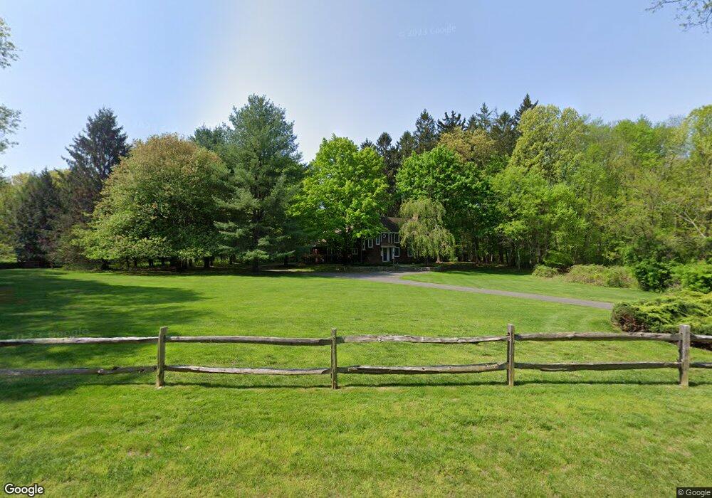
10 Mile Common Rd Easton, CT 06612
Estimated Value: $913,000 - $1,339,000
3
Beds
3
Baths
2,762
Sq Ft
$400/Sq Ft
Est. Value
About This Home
This home is located at 10 Mile Common Rd, Easton, CT 06612 and is currently estimated at $1,103,894, approximately $399 per square foot. 10 Mile Common Rd is a home located in Fairfield County with nearby schools including Samuel Staples Elementary School, Helen Keller Middle School, and Joel Barlow High School.
Ownership History
Date
Name
Owned For
Owner Type
Purchase Details
Closed on
Oct 17, 1991
Sold by
Klein Norman R
Bought by
Waricha Jean M
Current Estimated Value
Home Financials for this Owner
Home Financials are based on the most recent Mortgage that was taken out on this home.
Original Mortgage
$283,000
Interest Rate
9.06%
Mortgage Type
Purchase Money Mortgage
Create a Home Valuation Report for This Property
The Home Valuation Report is an in-depth analysis detailing your home's value as well as a comparison with similar homes in the area
Home Values in the Area
Average Home Value in this Area
Purchase History
| Date | Buyer | Sale Price | Title Company |
|---|---|---|---|
| Waricha Jean M | $525,000 | -- |
Source: Public Records
Mortgage History
| Date | Status | Borrower | Loan Amount |
|---|---|---|---|
| Open | Waricha Jean M | $340,000 | |
| Closed | Waricha Jean M | $250,000 | |
| Closed | Waricha Jean M | $283,000 |
Source: Public Records
Tax History Compared to Growth
Tax History
| Year | Tax Paid | Tax Assessment Tax Assessment Total Assessment is a certain percentage of the fair market value that is determined by local assessors to be the total taxable value of land and additions on the property. | Land | Improvement |
|---|---|---|---|---|
| 2025 | $16,366 | $527,940 | $214,830 | $313,110 |
| 2024 | $15,595 | $527,940 | $214,830 | $313,110 |
| 2023 | $15,289 | $527,940 | $214,830 | $313,110 |
| 2022 | $15,015 | $527,940 | $214,830 | $313,110 |
| 2021 | $14,689 | $454,080 | $228,800 | $225,280 |
| 2020 | $14,076 | $454,080 | $228,800 | $225,280 |
| 2019 | $14,226 | $454,080 | $228,800 | $225,280 |
| 2018 | $14,249 | $454,080 | $228,800 | $225,280 |
| 2017 | $15,157 | $454,080 | $228,800 | $225,280 |
| 2016 | $14,265 | $462,990 | $246,300 | $216,690 |
| 2015 | $14,002 | $460,910 | $246,300 | $214,610 |
| 2014 | $13,781 | $460,910 | $246,300 | $214,610 |
Source: Public Records
Map
Nearby Homes
- 18 Wells Hill Rd
- 64 Old Redding Rd
- 85-95 Old Easton Turnpike
- 11 Judges Hollow Rd
- 2775 North St
- 8 Messex Ln
- 4 Colony Rd
- 1375 Westport Turnpike
- 198 Steep Hill Rd
- 180 Catamount Rd
- 26 Hill Farm Rd
- 100 Honeysuckle Hill Ln
- 4800 Congress St
- 18 Hunt Ln
- 22 Brett Rd
- 340 Morehouse Rd
- 145 Lyons Plain Rd
- 312 Towne House Rd
- 136 Lyons Plain Rd
- 2281 Redding Rd
- 20 Mile Common Rd
- 20 Mile Common Rd
- 739 Westport Rd
- 36 Mile Common Rd
- 7 Mile Common Rd
- 15 Mile Common Rd
- 720 Westport Rd
- 740 Westport Rd
- 753 Westport Rd
- 25 Mile Common Rd
- 25 Mile Common
- 25A Mile Common Rd
- 44 Mile Common Rd
- 695 Westport Rd
- 35 Mile Common Rd
- 105 Redding Rd
- 771 Westport Rd
- 47 Mile Common Rd
- 60 Mile Common Rd
- 95 Redding Rd