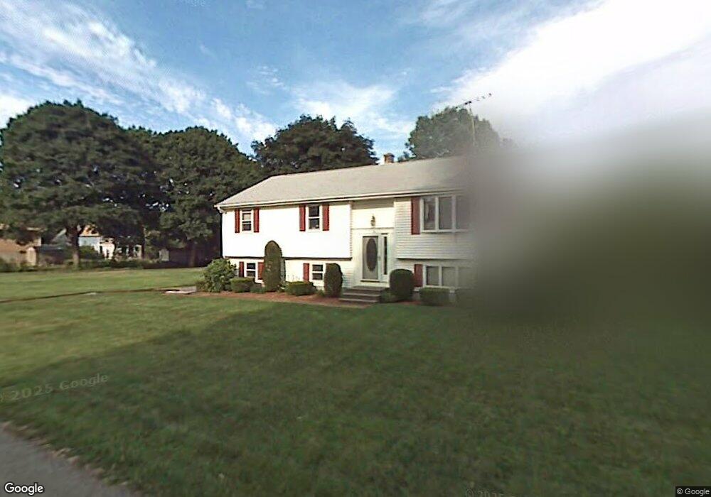
10 Miles Ave Boylston, MA 01505
Estimated Value: $438,000 - $504,000
3
Beds
3
Baths
1,222
Sq Ft
$389/Sq Ft
Est. Value
About This Home
This home is located at 10 Miles Ave, Boylston, MA 01505 and is currently estimated at $474,993, approximately $388 per square foot. 10 Miles Ave is a home located in Worcester County with nearby schools including Tahanto Regional High School, Central New England Christian Academy, and St John's High School.
Ownership History
Date
Name
Owned For
Owner Type
Purchase Details
Closed on
Oct 28, 2010
Sold by
Felice Albert E and Felice Marion A
Bought by
Cordeiro Arthur F and Cordeiro Lidia C
Current Estimated Value
Home Financials for this Owner
Home Financials are based on the most recent Mortgage that was taken out on this home.
Original Mortgage
$100,000
Outstanding Balance
$65,865
Interest Rate
4.39%
Mortgage Type
Purchase Money Mortgage
Estimated Equity
$409,128
Create a Home Valuation Report for This Property
The Home Valuation Report is an in-depth analysis detailing your home's value as well as a comparison with similar homes in the area
Home Values in the Area
Average Home Value in this Area
Purchase History
| Date | Buyer | Sale Price | Title Company |
|---|---|---|---|
| Cordeiro Arthur F | $260,000 | -- |
Source: Public Records
Mortgage History
| Date | Status | Borrower | Loan Amount |
|---|---|---|---|
| Open | Cordeiro Arthur F | $100,000 |
Source: Public Records
Tax History
| Year | Tax Paid | Tax Assessment Tax Assessment Total Assessment is a certain percentage of the fair market value that is determined by local assessors to be the total taxable value of land and additions on the property. | Land | Improvement |
|---|---|---|---|---|
| 2025 | $5,644 | $408,100 | $130,700 | $277,400 |
| 2024 | $5,463 | $395,600 | $130,700 | $264,900 |
| 2023 | $5,651 | $392,400 | $138,800 | $253,600 |
| 2022 | $4,907 | $309,800 | $138,800 | $171,000 |
| 2021 | $4,970 | $292,700 | $138,800 | $153,900 |
| 2020 | $3,185 | $255,000 | $111,400 | $143,600 |
| 2019 | $3,960 | $246,900 | $109,200 | $137,700 |
| 2018 | $3,481 | $240,400 | $109,200 | $131,200 |
| 2017 | $3,875 | $240,400 | $109,200 | $131,200 |
| 2016 | $4,094 | $250,100 | $103,700 | $146,400 |
| 2015 | $4,354 | $250,100 | $103,700 | $146,400 |
| 2014 | $4,038 | $232,200 | $92,700 | $139,500 |
Source: Public Records
Map
Nearby Homes
- 4 Poe Ave Unit 1
- 79 Humes Ave
- 28 Sewall St
- 5 Ridge Rd
- 5 Barnard Hill Rd
- 63 Cobblestone Ln Unit 63
- 31 Enaya Cir Unit 31
- 24 Shirley Ln
- 39 Bullard Ave
- 22 Shirley Ln
- 39 Cypress Ave
- 22 Huron Ave
- 9 Conifer Cir Unit 26
- 58 Conifer Cir Unit 24
- 248 Saint Nicholas Ave
- 56 Conifer Cir Unit 23
- 655 Plantation St Unit 20B
- 2101 Halcyon Dr Unit 2101
- 3205 Halcyon Dr Unit 3205
- 80 Compass Cir
Your Personal Tour Guide
Ask me questions while you tour the home.