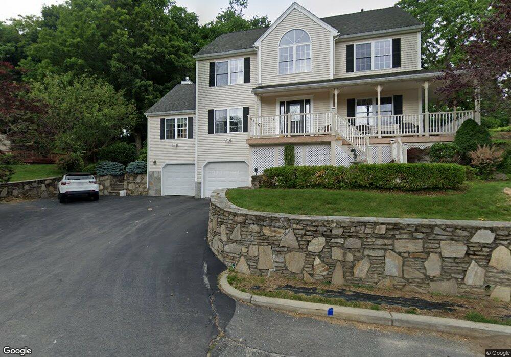
10 Minerva St Worcester, MA 01604
Broadmeadow Brook NeighborhoodEstimated Value: $589,000 - $700,000
3
Beds
3
Baths
2,548
Sq Ft
$253/Sq Ft
Est. Value
About This Home
This home is located at 10 Minerva St, Worcester, MA 01604 and is currently estimated at $644,801, approximately $253 per square foot. 10 Minerva St is a home located in Worcester County with nearby schools including Jacob Hiatt Magnet School, Chandler Magnet, and Rice Square Elementary School.
Ownership History
Date
Name
Owned For
Owner Type
Purchase Details
Closed on
Sep 6, 2023
Sold by
Perro Rodney J
Bought by
405 Grafton Llc
Current Estimated Value
Purchase Details
Closed on
Apr 28, 2000
Sold by
Doyle Andrew F and Doyle Dorothy Anne
Bought by
Perro Rodney J
Create a Home Valuation Report for This Property
The Home Valuation Report is an in-depth analysis detailing your home's value as well as a comparison with similar homes in the area
Home Values in the Area
Average Home Value in this Area
Purchase History
| Date | Buyer | Sale Price | Title Company |
|---|---|---|---|
| 405 Grafton Llc | -- | None Available | |
| 405 Grafton Llc | -- | None Available | |
| Perro Rodney J | $20,000 | -- | |
| Perro Rodney J | $20,000 | -- |
Source: Public Records
Mortgage History
| Date | Status | Borrower | Loan Amount |
|---|---|---|---|
| Previous Owner | Perro Rodney J | $115,000 | |
| Previous Owner | Perro Rodney J | $100,000 |
Source: Public Records
Tax History
| Year | Tax Paid | Tax Assessment Tax Assessment Total Assessment is a certain percentage of the fair market value that is determined by local assessors to be the total taxable value of land and additions on the property. | Land | Improvement |
|---|---|---|---|---|
| 2025 | $7,793 | $590,841 | $118,741 | $472,100 |
| 2024 | $7,582 | $551,441 | $118,741 | $432,700 |
| 2023 | $7,332 | $511,308 | $103,208 | $408,100 |
| 2022 | $6,890 | $452,966 | $82,566 | $370,400 |
| 2021 | $6,875 | $422,295 | $66,095 | $356,200 |
| 2020 | $6,679 | $392,900 | $66,100 | $326,800 |
| 2019 | $6,701 | $372,300 | $59,500 | $312,800 |
| 2018 | $6,605 | $349,300 | $59,500 | $289,800 |
| 2017 | $6,402 | $333,100 | $59,500 | $273,600 |
| 2016 | $6,525 | $316,600 | $43,700 | $272,900 |
| 2015 | $6,354 | $316,600 | $43,700 | $272,900 |
| 2014 | $6,186 | $316,600 | $43,700 | $272,900 |
Source: Public Records
Map
Nearby Homes
- 3 Julien Ave
- 9 Marissa Cir
- 266 Massasoit Rd
- 16 Vincent Cir
- 300 Millbury Ave
- 330 Sunderland Rd Unit 80
- 259 Massasoit Rd
- 256 Massasoit Rd
- 25 Stoneham Rd
- 340 Sunderland Rd Unit 28
- 7 Clarissa St
- 6 Nathaniel St
- 1195 Grafton St Unit 29
- 1195 Grafton St Unit 19
- 1195 Grafton St Unit 39
- 37 Dane Ave
- 53 Denver Terrace
- 12 Irene Ct
- 464-466 Granite St
- 460-462 Granite St
Your Personal Tour Guide
Ask me questions while you tour the home.