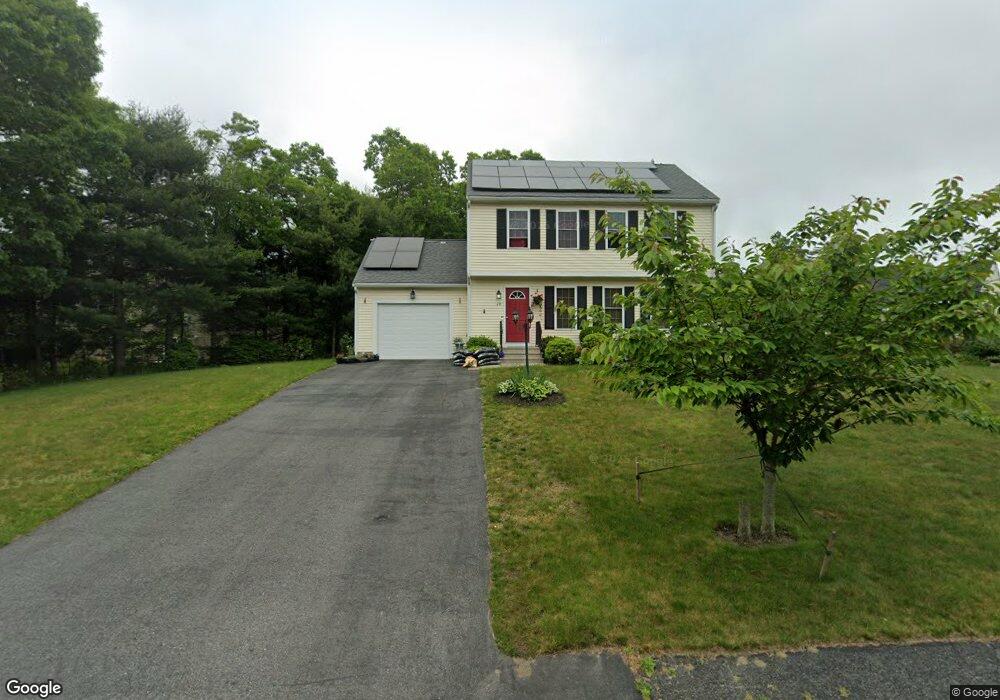
10 Mirasol Dr Buzzards Bay, MA 02532
Estimated Value: $447,380 - $635,000
3
Beds
2
Baths
1,500
Sq Ft
$354/Sq Ft
Est. Value
About This Home
This home is located at 10 Mirasol Dr, Buzzards Bay, MA 02532 and is currently estimated at $530,595, approximately $353 per square foot. 10 Mirasol Dr is a home located in Barnstable County with nearby schools including Bourne High School and St Margaret Regional School.
Ownership History
Date
Name
Owned For
Owner Type
Purchase Details
Closed on
Dec 31, 2009
Sold by
Pine Tree Rt and Hebb
Bought by
Pilgrim Pines Ld Llc and Demoura Nicole L
Current Estimated Value
Home Financials for this Owner
Home Financials are based on the most recent Mortgage that was taken out on this home.
Original Mortgage
$7,200
Outstanding Balance
$4,703
Interest Rate
4.85%
Mortgage Type
Purchase Money Mortgage
Estimated Equity
$525,892
Create a Home Valuation Report for This Property
The Home Valuation Report is an in-depth analysis detailing your home's value as well as a comparison with similar homes in the area
Home Values in the Area
Average Home Value in this Area
Purchase History
| Date | Buyer | Sale Price | Title Company |
|---|---|---|---|
| Pilgrim Pines Ld Llc | $15,458 | -- | |
| Demoura Anderson M R | $179,900 | -- | |
| Pilgrim Pines Ld Llc | $15,458 | -- |
Source: Public Records
Mortgage History
| Date | Status | Borrower | Loan Amount |
|---|---|---|---|
| Open | Pilgrim Pines Ld Llc | $7,200 | |
| Open | Demoura Anderson M R | $175,756 | |
| Closed | Pilgrim Pines Ld Llc | $7,200 |
Source: Public Records
Tax History Compared to Growth
Tax History
| Year | Tax Paid | Tax Assessment Tax Assessment Total Assessment is a certain percentage of the fair market value that is determined by local assessors to be the total taxable value of land and additions on the property. | Land | Improvement |
|---|---|---|---|---|
| 2025 | $2,401 | $307,440 | $128,160 | $179,280 |
| 2024 | $2,363 | $0 | $0 | $0 |
| 2023 | $2,398 | $272,240 | $0 | $0 |
| 2022 | $2,302 | $228,140 | $0 | $0 |
| 2021 | $2,250 | $208,870 | $0 | $0 |
| 2020 | $2,193 | $204,170 | $0 | $0 |
| 2019 | $2,080 | $197,940 | $0 | $0 |
| 2018 | $1,999 | $189,650 | $0 | $0 |
| 2017 | $1,906 | $185,070 | $0 | $0 |
| 2016 | $1,768 | $173,970 | $0 | $0 |
| 2015 | $1,714 | $170,250 | $0 | $0 |
Source: Public Records
Map
Nearby Homes
- 181 Head of The Bay Rd
- 4 Finch Ln
- 171 Puritan Rd
- 162 Puritan Rd
- 85 Maple St
- 15 Maple St
- 0 Lewis Point Rd
- 65 Lewis Point Rd
- 73 Lewis Point Rd
- 18 Admirals Way
- 7 Freeman St
- 24 Ships View Terrace
- 27 Ships View Terrace
- 47 Harrison Ave
- 92 Sandwich Rd Unit 2D
- 29 Weather Deck Rd
- 810 Head of The Bay Rd
- 60 Sandwich Rd
- 17 Harrison Ave
- 5 Bosuns Ln