10 Morianna Rd Bradford, PA 16701
Estimated Value: $84,334 - $162,000
3
Beds
1
Bath
1,036
Sq Ft
$110/Sq Ft
Est. Value
About This Home
This home is located at 10 Morianna Rd, Bradford, PA 16701 and is currently estimated at $113,584, approximately $109 per square foot. 10 Morianna Rd is a home located in McKean County with nearby schools including George Blaisdell Elementary School, School Street Elementary School, and Floyd C. Fretz Middle School.
Ownership History
Date
Name
Owned For
Owner Type
Purchase Details
Closed on
Jul 17, 2018
Sold by
Steuben Madeline Melissa and Steuben Scott M
Bought by
Julian Amber L
Current Estimated Value
Home Financials for this Owner
Home Financials are based on the most recent Mortgage that was taken out on this home.
Original Mortgage
$46,550
Outstanding Balance
$40,343
Interest Rate
4.5%
Mortgage Type
New Conventional
Estimated Equity
$73,241
Create a Home Valuation Report for This Property
The Home Valuation Report is an in-depth analysis detailing your home's value as well as a comparison with similar homes in the area
Home Values in the Area
Average Home Value in this Area
Purchase History
| Date | Buyer | Sale Price | Title Company |
|---|---|---|---|
| Julian Amber L | $49,000 | None Available |
Source: Public Records
Mortgage History
| Date | Status | Borrower | Loan Amount |
|---|---|---|---|
| Open | Julian Amber L | $46,550 |
Source: Public Records
Tax History Compared to Growth
Tax History
| Year | Tax Paid | Tax Assessment Tax Assessment Total Assessment is a certain percentage of the fair market value that is determined by local assessors to be the total taxable value of land and additions on the property. | Land | Improvement |
|---|---|---|---|---|
| 2025 | $1,596 | $39,290 | $10,400 | $28,890 |
| 2024 | $1,547 | $39,290 | $10,400 | $28,890 |
| 2023 | $1,547 | $39,290 | $10,400 | $28,890 |
| 2022 | $1,547 | $39,290 | $10,400 | $28,890 |
| 2021 | $1,547 | $39,290 | $10,400 | $28,890 |
| 2020 | $1,547 | $39,290 | $10,400 | $28,890 |
| 2019 | $1,547 | $39,290 | $10,400 | $28,890 |
| 2018 | $15 | $39,290 | $10,400 | $28,890 |
| 2017 | -- | $39,290 | $10,400 | $28,890 |
| 2016 | $1,458 | $39,290 | $10,400 | $28,890 |
| 2015 | $540 | $39,290 | $10,400 | $28,890 |
| 2014 | $540 | $39,290 | $10,400 | $28,890 |
Source: Public Records
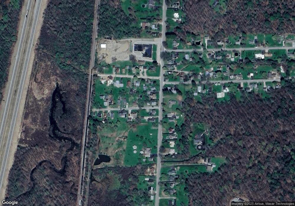
Map
Nearby Homes
- 125 Russell Blvd
- 124 Russell Blvd
- 187 Seaward Ave
- 23 Valleybrook Dr
- 520 E Main St
- 28 Colonial Heights
- 100 Cornen St
- 49 Cornen St
- 133 Rockland Ave
- 149 Jackson Ave
- 61 Oxford St
- 71 Oxford St
- 37 Rockland Ave
- 82 Oxford St
- 28 Rosedale Ave
- 35 Lincoln Ave
- 00 Lincoln Ave
- 649 Bolivar Dr
- 79 Main St
- 22 Williams St
- 14 Morianna Rd
- 9 Morianna Rd
- 9 Lincolndale Rd
- 13 Lincolndale Rd
- 16 Morianna Rd
- 1167 E Main St
- 13 Morianna Rd
- 1171 E Main St
- 17 Lincolndale Rd
- 20 Morianna Rd
- 1175 E Main St
- 1165 E Main St
- 1177 E Main St
- 19 Morianna Rd
- 22 Morianna Rd
- 19 Lincolndale Rd
- 1161 E Main St
- 12 Lincolndale Rd
- 16 Lincolndale Rd
- 21 Morianna Rd