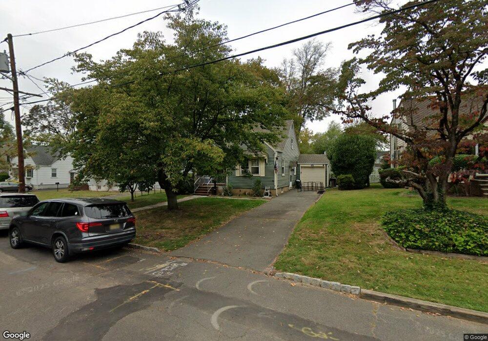
10 Munsee Dr Cranford, NJ 07016
Estimated Value: $553,106 - $692,000
Studio
--
Bath
--
Sq Ft
7,536
Sq Ft Lot
About This Home
This home is located at 10 Munsee Dr, Cranford, NJ 07016 and is currently estimated at $643,027. 10 Munsee Dr is a home located in Union County with nearby schools including Cranford Sr High School, St Michael School, and St John The Apostle School.
Ownership History
Date
Name
Owned For
Owner Type
Purchase Details
Closed on
Jun 3, 2010
Sold by
Groom Joan A and Groom Joan
Bought by
Crisci Jill
Current Estimated Value
Home Financials for this Owner
Home Financials are based on the most recent Mortgage that was taken out on this home.
Original Mortgage
$135,000
Outstanding Balance
$91,141
Interest Rate
5.12%
Mortgage Type
New Conventional
Estimated Equity
$551,886
Purchase Details
Closed on
Dec 8, 1999
Sold by
Groom Joan A
Bought by
Groom Joan A and Groom Joan
Create a Home Valuation Report for This Property
The Home Valuation Report is an in-depth analysis detailing your home's value as well as a comparison with similar homes in the area
Home Values in the Area
Average Home Value in this Area
Purchase History
| Date | Buyer | Sale Price | Title Company |
|---|---|---|---|
| Crisci Jill | $210,000 | Odyssey Title Agency Llc | |
| Groom Joan A | -- | -- |
Source: Public Records
Mortgage History
| Date | Status | Borrower | Loan Amount |
|---|---|---|---|
| Open | Crisci Jill | $135,000 |
Source: Public Records
Tax History
| Year | Tax Paid | Tax Assessment Tax Assessment Total Assessment is a certain percentage of the fair market value that is determined by local assessors to be the total taxable value of land and additions on the property. | Land | Improvement |
|---|---|---|---|---|
| 2025 | $8,928 | $131,700 | $74,500 | $57,200 |
| 2024 | $8,780 | $131,700 | $74,500 | $57,200 |
Source: Public Records
Map
Nearby Homes
- 19 Munsee Dr
- 2849 Verona Ave
- 2843 Wickersham Ave
- 431 Raritan Rd
- 17 Cherokee Rd
- 501 Centennial Ave
- 333 Livingston Rd
- 38 Pallant Ave
- 37 Raritan Rd
- 1 Furber Ave
- 2611 N Wood Ave
- 12 Drapkin Ave
- 2513 N Wood Ave
- 411 Hory St
- 76 Elmwood Terrace
- 63 Elmwood Terrace
- 651 Amherst Rd
- 331 West Ln
- 335 Dermody St
- 538 Dietz St
Your Personal Tour Guide
Ask me questions while you tour the home.