10 Murch Landing Rd Raymond, ME 04071
Estimated Value: $427,939 - $1,103,000
2
Beds
2
Baths
1,232
Sq Ft
$509/Sq Ft
Est. Value
About This Home
This home is located at 10 Murch Landing Rd, Raymond, ME 04071 and is currently estimated at $626,735, approximately $508 per square foot. 10 Murch Landing Rd is a home located in Cumberland County with nearby schools including Raymond Elementary School, Jordan-Small Middle School, and Windham High School.
Ownership History
Date
Name
Owned For
Owner Type
Purchase Details
Closed on
Dec 3, 2012
Sold by
Mains Margaret A and Bisnette April L
Bought by
Bisnette April L and Bisnette John C
Current Estimated Value
Home Financials for this Owner
Home Financials are based on the most recent Mortgage that was taken out on this home.
Original Mortgage
$187,256
Interest Rate
3.5%
Mortgage Type
FHA
Purchase Details
Closed on
Sep 14, 2006
Sold by
Bisnette April L
Bought by
Bisnette April L and Bisnette John C
Create a Home Valuation Report for This Property
The Home Valuation Report is an in-depth analysis detailing your home's value as well as a comparison with similar homes in the area
Home Values in the Area
Average Home Value in this Area
Purchase History
| Date | Buyer | Sale Price | Title Company |
|---|---|---|---|
| Bisnette April L | -- | -- | |
| Bisnette April L | -- | -- |
Source: Public Records
Mortgage History
| Date | Status | Borrower | Loan Amount |
|---|---|---|---|
| Closed | Bisnette April L | $187,256 |
Source: Public Records
Tax History
| Year | Tax Paid | Tax Assessment Tax Assessment Total Assessment is a certain percentage of the fair market value that is determined by local assessors to be the total taxable value of land and additions on the property. | Land | Improvement |
|---|---|---|---|---|
| 2024 | $3,323 | $193,200 | $42,700 | $150,500 |
| 2023 | $3,072 | $193,200 | $42,700 | $150,500 |
| 2022 | $2,898 | $193,200 | $42,700 | $150,500 |
| 2021 | $2,724 | $193,200 | $42,700 | $150,500 |
| 2019 | $2,523 | $187,600 | $42,700 | $144,900 |
| 2018 | $0 | $187,600 | $42,700 | $144,900 |
| 2017 | $1,106 | $187,600 | $42,700 | $144,900 |
| 2016 | $2,270 | $187,600 | $42,700 | $144,900 |
| 2015 | $2,242 | $187,600 | $42,700 | $144,900 |
| 2014 | $2,214 | $187,600 | $42,700 | $144,900 |
| 2013 | $2,111 | $187,600 | $42,700 | $144,900 |
Source: Public Records
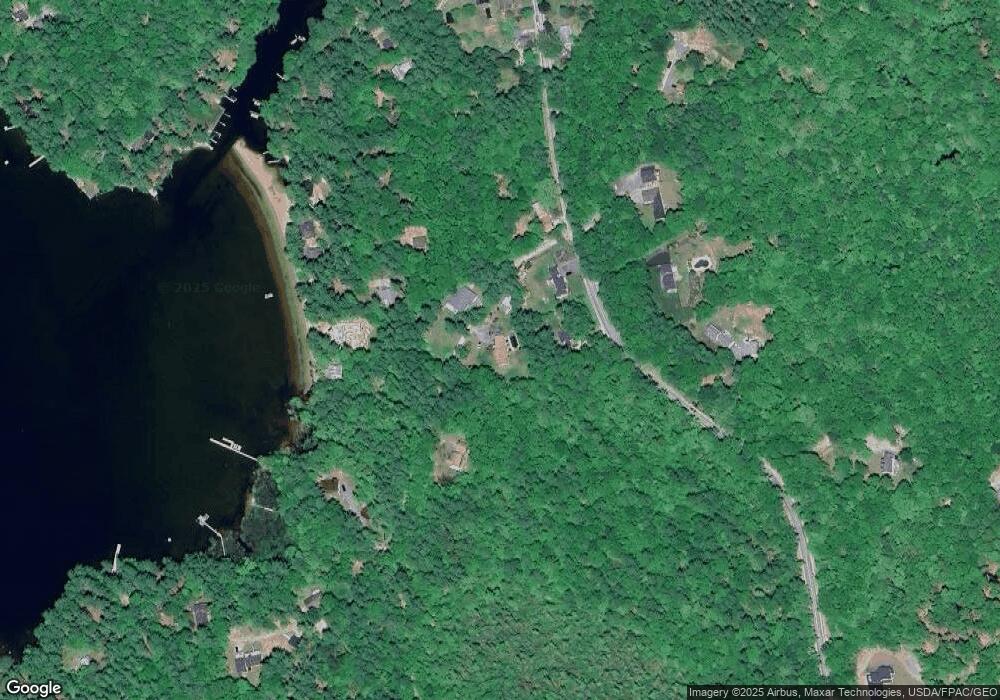
Map
Nearby Homes
- 1569 Roosevelt Trail
- 17 Murray Dr
- 142 Lakewood Rd
- 1525 Roosevelt Trail
- 42 Bracken Woods Rd
- 10 Woodland Trail
- 84 Watkins Shores Rd
- 58 Watkins Shores Rd
- 13 Brown Ave
- 46 Red Mill Rd
- Lot 19 Thomas Pond Shore Rd
- 261 Point Sebago Rd Unit 381
- 261 Point Sebago Rd Unit S0360
- 261 Point Sebago Rd Unit S0344
- 261 Point Sebago Rd Unit S0343
- 261 Point Sebago Rd Unit S0891
- 261 Point Sebago Rd Unit S0851
- 261 Point Sebago Rd Unit 765
- 261 Point Sebago Rd Unit S0846
- 261 Point Sebago Rd Unit 332
- 9 Murch Landing Rd
- 14 Hutchins Rd
- 29 Raymond Cape Rd
- 29 Cape Rd
- 27 Cape Rd
- Lot 27 Cape Rd
- 27 Raymond Cape Rd
- 18 Murch Landing Rd
- Lot 028 Cape Rd
- 33R Murch Landing Rd
- Lot 10 Raymond Cape Rd
- 23 Cape Rd
- 17 Hutchins Rd
- 32 Hutchins Rd
- 34 Hutchins Rd
- 30 Cape Rd
- 15 Hutchins Rd
- 26 Jones Rd
- 24 Jones Rd
- 26 Raymond Cape Rd
Your Personal Tour Guide
Ask me questions while you tour the home.