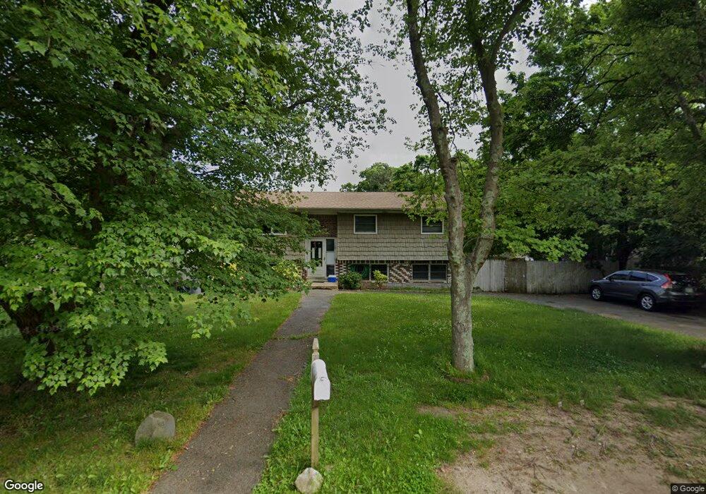
10 Myrtle Ave Brentwood, NY 11717
Estimated Value: $585,906 - $765,000
--
Bed
--
Bath
--
Sq Ft
0.45
Acres
About This Home
This home is located at 10 Myrtle Ave, Brentwood, NY 11717 and is currently estimated at $671,977. 10 Myrtle Ave is a home located in Suffolk County.
Ownership History
Date
Name
Owned For
Owner Type
Purchase Details
Closed on
Jan 22, 2015
Sold by
Mora Raul and Mora Joanne E
Bought by
Mora Joanne E and Mora Anthony A
Current Estimated Value
Purchase Details
Closed on
May 19, 2010
Sold by
County Of Suffolk
Bought by
Mora Joanne E and Mora Anthony A
Purchase Details
Closed on
Feb 8, 2005
Purchase Details
Closed on
Feb 27, 2003
Sold by
Hendrickson Troy
Bought by
Lebron Paul and Mora Raul
Purchase Details
Closed on
Dec 30, 1996
Sold by
Torres Frank
Bought by
Hendrickson Troy
Purchase Details
Closed on
May 21, 1996
Sold by
Hendrickson Cynthia
Bought by
Torres Frank
Purchase Details
Closed on
Dec 29, 1994
Sold by
Hendrickson Cynthia and Hendrickson Constance
Bought by
Hendrickson Cynthia
Create a Home Valuation Report for This Property
The Home Valuation Report is an in-depth analysis detailing your home's value as well as a comparison with similar homes in the area
Home Values in the Area
Average Home Value in this Area
Purchase History
| Date | Buyer | Sale Price | Title Company |
|---|---|---|---|
| Mora Joanne E | -- | None Available | |
| Mora Joanne E | -- | -- | |
| -- | -- | -- | |
| Lebron Paul | $206,000 | -- | |
| Hendrickson Troy | -- | First New York Title | |
| Torres Frank | $105,000 | First American Title Ins Co | |
| Hendrickson Cynthia | -- | First American Title Ins Co |
Source: Public Records
Tax History Compared to Growth
Tax History
| Year | Tax Paid | Tax Assessment Tax Assessment Total Assessment is a certain percentage of the fair market value that is determined by local assessors to be the total taxable value of land and additions on the property. | Land | Improvement |
|---|---|---|---|---|
| 2024 | -- | $39,450 | $9,400 | $30,050 |
| 2023 | -- | $39,450 | $9,400 | $30,050 |
| 2022 | $8,889 | $39,450 | $9,400 | $30,050 |
| 2021 | $8,889 | $39,450 | $9,400 | $30,050 |
| 2020 | $8,356 | $39,450 | $9,400 | $30,050 |
| 2019 | $8,889 | $0 | $0 | $0 |
| 2018 | -- | $39,450 | $9,400 | $30,050 |
| 2017 | $8,986 | $39,450 | $9,400 | $30,050 |
| 2016 | $8,858 | $39,450 | $9,400 | $30,050 |
| 2015 | -- | $39,450 | $9,400 | $30,050 |
| 2014 | -- | $39,450 | $9,400 | $30,050 |
Source: Public Records
Map
Nearby Homes
- 31 Franklin Ave
- 44 Lexington Ave
- 43 Bushwick Ave
- 184 Calebs Path
- 155 Calebs Path
- 35 Bushwick Ave
- 48 Bushwick Ave
- 1 W End Ave
- 56 Gates Ave
- 153 Calebs Path
- 90 Bushwick Ave
- 189 Vanderbilt Ave
- 32 Ralph Ave
- 15 Rugby St
- 0 Joshuas Path Unit KEY922069
- 1304 Express Dr S
- 1010 Motor Pkwy
- 113 Gates Ave
- 4A Ralph Ave
- 239 Ocean Ave