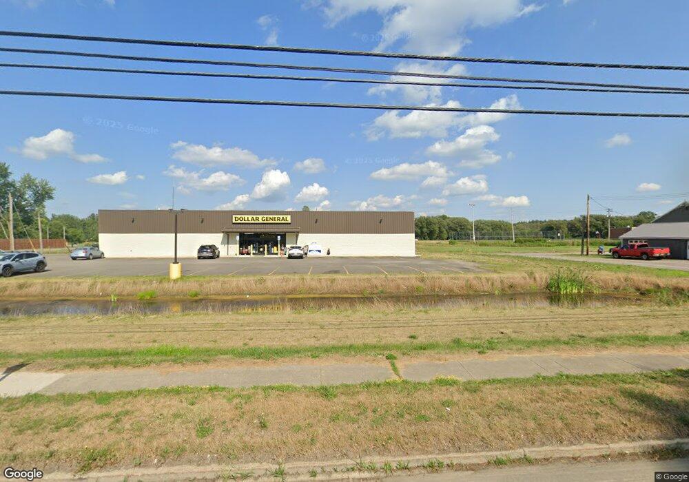
10 N Main St Delevan, NY 14042
Estimated Value: $96,973
--
Bed
--
Bath
19,923
Sq Ft
$5/Sq Ft
Est. Value
About This Home
This home is located at 10 N Main St, Delevan, NY 14042 and is currently estimated at $96,973, approximately $4 per square foot. 10 N Main St is a home located in Cattaraugus County with nearby schools including Pioneer Middle School, Pioneer High School, and Central Baptist Christian School.
Ownership History
Date
Name
Owned For
Owner Type
Purchase Details
Closed on
Oct 18, 2024
Sold by
Broadway Group Llc
Bought by
Dg Delevan Llc
Current Estimated Value
Purchase Details
Closed on
Mar 2, 2024
Sold by
Tingue Michael J Est and Tingue
Bought by
Bacon Brenda
Purchase Details
Closed on
Oct 14, 2021
Sold by
Tingue Michael J
Bought by
Bacon Brenda
Purchase Details
Closed on
Mar 13, 2012
Sold by
Tingue Michael
Bought by
Bacon Brenda
Purchase Details
Closed on
Nov 19, 2010
Sold by
Tingue Michael
Bought by
Ceilo Azul Llc
Purchase Details
Closed on
May 23, 2008
Sold by
Roman Blessed Sacrament
Bought by
Tingue Michael
Home Financials for this Owner
Home Financials are based on the most recent Mortgage that was taken out on this home.
Original Mortgage
$100,000
Interest Rate
5.94%
Mortgage Type
Commercial
Create a Home Valuation Report for This Property
The Home Valuation Report is an in-depth analysis detailing your home's value as well as a comparison with similar homes in the area
Home Values in the Area
Average Home Value in this Area
Purchase History
| Date | Buyer | Sale Price | Title Company |
|---|---|---|---|
| Dg Delevan Llc | -- | None Available | |
| Bacon Brenda | -- | None Available | |
| Bacon Brenda | -- | None Available | |
| Bacon Brenda | $75,000 | None Available | |
| Bacon Brenda | $50,000 | Bryan Milks | |
| Bacon Brenda | $50,000 | Bryan Milks | |
| Ceilo Azul Llc | $36,000 | Robert Kutzuba | |
| Tingue Michael | $145,000 | Bryan Milks |
Source: Public Records
Mortgage History
| Date | Status | Borrower | Loan Amount |
|---|---|---|---|
| Previous Owner | Tingue Michael | $100,000 |
Source: Public Records
Tax History Compared to Growth
Tax History
| Year | Tax Paid | Tax Assessment Tax Assessment Total Assessment is a certain percentage of the fair market value that is determined by local assessors to be the total taxable value of land and additions on the property. | Land | Improvement |
|---|---|---|---|---|
| 2024 | $3,421 | $10,620 | $3,100 | $7,520 |
| 2023 | $2,352 | $10,620 | $3,100 | $7,520 |
| 2022 | $2,377 | $10,620 | $3,100 | $7,520 |
| 2021 | $2,111 | $10,620 | $3,100 | $7,520 |
| 2020 | $3,584 | $10,620 | $3,100 | $7,520 |
| 2019 | $868 | $10,620 | $3,100 | $7,520 |
| 2018 | $3,517 | $10,620 | $3,100 | $7,520 |
| 2017 | $3,325 | $10,620 | $3,100 | $7,520 |
| 2016 | $3,920 | $10,620 | $3,100 | $7,520 |
| 2015 | -- | $10,620 | $3,100 | $7,520 |
| 2014 | -- | $10,620 | $3,100 | $7,520 |
Source: Public Records
Map
Nearby Homes
- 14 Palmer Ave
- 37 School St
- 13 Church St
- 56 Delevan Ave
- 57 Delevan Ave
- 10757 Route 16
- 53 Southview Dr
- 103 Sunset Ln
- 3236 Westover St
- 10568 New York 16
- 3831 Creek Rd
- 3825 Creek Rd
- 386 Southview Dr
- 12629 Savage Rd
- 13729 E Schutt Rd
- VL New York 39
- 451 W Main St
- 134 Park St
- 11553 Brown Schoolhouse Rd
- 543 North St
- 0 Route 16 Unit B455137
- 0 Route 16 Unit B469790
- 3 Olmstead Ave
- 12 N Main St
- 2 Olmstead Ave
- 1004 N Main St
- 9 N Main St
- 1001 N Main St
- 16 N Main St
- 4 Olmstead Ave
- 11 N Main St
- 1 Stranburg Ave
- 18 N Main St
- 1005 N Main St
- 4 Stranburg Ave
- 15 N Main St
- 3 Stranburg Ave
- 20 N Main St
- 1010 N Main St
- 21 N Main St