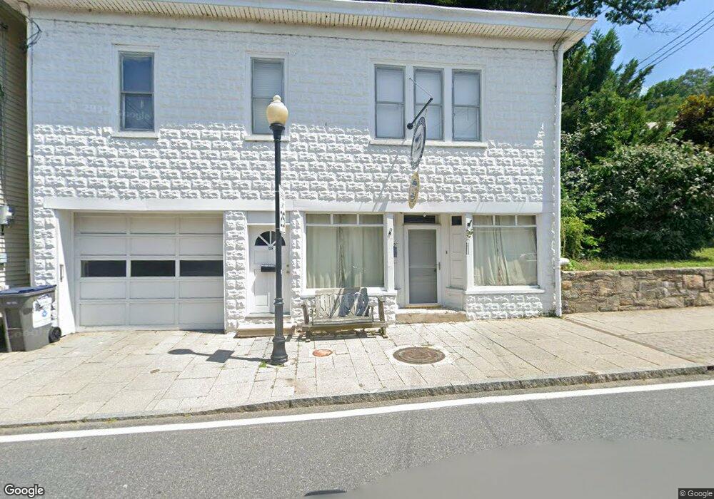
10 N Main St Port Deposit, MD 21904
Estimated Value: $469,323
--
Bed
--
Bath
2,584
Sq Ft
$182/Sq Ft
Est. Value
About This Home
This home is located at 10 N Main St, Port Deposit, MD 21904 and is currently estimated at $469,323, approximately $181 per square foot. 10 N Main St is a home located in Cecil County with nearby schools including Bainbridge Elementary School, Perryville Middle School, and Perryville High School.
Ownership History
Date
Name
Owned For
Owner Type
Purchase Details
Closed on
Jun 2, 2004
Sold by
Bailey Thomas B
Bought by
Harbold Bradford T and Ockuly Ryan T
Current Estimated Value
Purchase Details
Closed on
Oct 15, 1991
Sold by
Bohli Robert G and Bohli Carolyn M
Bought by
Bailey Thomas B
Home Financials for this Owner
Home Financials are based on the most recent Mortgage that was taken out on this home.
Original Mortgage
$100,000
Interest Rate
8.82%
Purchase Details
Closed on
Aug 27, 1986
Sold by
Linton James N
Bought by
Bohli Robert G and Bohli Carolyn M
Home Financials for this Owner
Home Financials are based on the most recent Mortgage that was taken out on this home.
Original Mortgage
$24,500
Interest Rate
10.04%
Create a Home Valuation Report for This Property
The Home Valuation Report is an in-depth analysis detailing your home's value as well as a comparison with similar homes in the area
Home Values in the Area
Average Home Value in this Area
Purchase History
| Date | Buyer | Sale Price | Title Company |
|---|---|---|---|
| Harbold Bradford T | $239,500 | -- | |
| Bailey Thomas B | $100,000 | -- | |
| Bohli Robert G | $40,000 | -- |
Source: Public Records
Mortgage History
| Date | Status | Borrower | Loan Amount |
|---|---|---|---|
| Previous Owner | Bailey Thomas B | $100,000 | |
| Previous Owner | Bohli Robert G | $24,500 |
Source: Public Records
Tax History Compared to Growth
Tax History
| Year | Tax Paid | Tax Assessment Tax Assessment Total Assessment is a certain percentage of the fair market value that is determined by local assessors to be the total taxable value of land and additions on the property. | Land | Improvement |
|---|---|---|---|---|
| 2025 | $4,732 | $260,600 | $0 | $0 |
| 2024 | $3,878 | $205,300 | $0 | $0 |
| 2023 | $3,019 | $150,000 | $42,700 | $107,300 |
| 2022 | $2,771 | $150,000 | $42,700 | $107,300 |
| 2021 | $2,716 | $150,000 | $42,700 | $107,300 |
| 2020 | $3,571 | $179,000 | $42,700 | $136,300 |
| 2019 | $3,571 | $179,000 | $42,700 | $136,300 |
| 2018 | $3,571 | $179,000 | $42,700 | $136,300 |
| 2017 | $3,571 | $179,000 | $0 | $0 |
| 2016 | $3,440 | $179,000 | $0 | $0 |
| 2015 | $3,440 | $179,000 | $0 | $0 |
| 2014 | $4,176 | $216,500 | $0 | $0 |
Source: Public Records
Map
Nearby Homes
- 18 S Main St
- 317 Rowland Dr
- 21 High St
- 118 Rowland Dr
- 111 N Main St
- 236 N Main St
- 120 Beechwood Dr
- 176 Rowland Rd
- 4 Brenda St
- 91 Honeysuckle Dr
- 419 Cokesbury Rd
- 1755 Frenchtown Rd
- 8 Sandybrook Dr
- 1 Wildwood Ln
- 1080 Bainbridge Rd
- 1103 Bainbridge Rd
- 1001 Morrison Blvd
- 903 Eugene Dr
- 1514 Superior St
- 203 Blythedale Rd