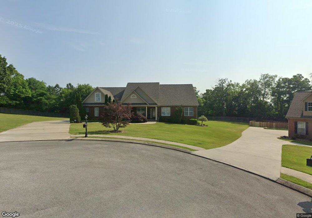
10 N Pointe Rd Ringgold, GA 30736
Westside NeighborhoodEstimated Value: $524,000 - $600,000
3
Beds
3
Baths
3,464
Sq Ft
$164/Sq Ft
Est. Value
About This Home
This home is located at 10 N Pointe Rd, Ringgold, GA 30736 and is currently estimated at $567,158, approximately $163 per square foot. 10 N Pointe Rd is a home located in Catoosa County with nearby schools including Battlefield Primary School, Battlefield Elementary School, and Lakeview Middle School.
Ownership History
Date
Name
Owned For
Owner Type
Purchase Details
Closed on
Jun 30, 2010
Sold by
Metcalf Rick L
Bought by
Bales Kenneth A
Current Estimated Value
Purchase Details
Closed on
Nov 2, 2005
Sold by
Not Provided
Bought by
Bales Kenneth A and Bales Joan
Home Financials for this Owner
Home Financials are based on the most recent Mortgage that was taken out on this home.
Original Mortgage
$240,000
Interest Rate
5.9%
Mortgage Type
New Conventional
Purchase Details
Closed on
Apr 22, 2005
Sold by
Best Developers Llc
Bought by
Ngc Construction
Create a Home Valuation Report for This Property
The Home Valuation Report is an in-depth analysis detailing your home's value as well as a comparison with similar homes in the area
Home Values in the Area
Average Home Value in this Area
Purchase History
| Date | Buyer | Sale Price | Title Company |
|---|---|---|---|
| Bales Kenneth A | $275,439 | -- | |
| Bales Kenneth A | -- | -- | |
| Ngc Construction | $45,000 | -- |
Source: Public Records
Mortgage History
| Date | Status | Borrower | Loan Amount |
|---|---|---|---|
| Previous Owner | Bales Kenneth A | $240,000 |
Source: Public Records
Tax History Compared to Growth
Tax History
| Year | Tax Paid | Tax Assessment Tax Assessment Total Assessment is a certain percentage of the fair market value that is determined by local assessors to be the total taxable value of land and additions on the property. | Land | Improvement |
|---|---|---|---|---|
| 2024 | -- | $237,082 | $24,000 | $213,082 |
| 2023 | $0 | $184,205 | $24,000 | $160,205 |
| 2022 | $3,367 | $150,374 | $24,000 | $126,374 |
| 2021 | $3,480 | $150,374 | $24,000 | $126,374 |
| 2020 | $3,150 | $136,138 | $24,000 | $112,138 |
| 2019 | $2,955 | $136,138 | $24,000 | $112,138 |
| 2018 | $3,363 | $136,138 | $24,000 | $112,138 |
| 2017 | $3,023 | $132,096 | $24,000 | $108,096 |
| 2016 | $2,985 | $124,608 | $24,000 | $100,608 |
| 2015 | -- | $124,608 | $24,000 | $100,608 |
| 2014 | -- | $124,608 | $24,000 | $100,608 |
| 2013 | -- | $124,608 | $24,000 | $100,608 |
Source: Public Records
Map
Nearby Homes
- 0 Pine Grove Rd Unit 1522542
- 27 Templin Hills Ln
- 325 Cindy Cir
- 37 N Brent Dr
- 1547 Highway 41
- 0 Cloud Springs Rd Unit 131417
- 247 Larry Dr
- 523 Cindy Cir
- 136 Hillcrest Dr
- 227 Richard Dr
- 35 Karen Dr
- 302 Karen Dr
- 113 Joshua Farms Ln
- 47 Joshua Farms Ln
- 89 Bowling Rd
- 89 W Highland Dr
- 92 Sue Ln
- 69 Morris Dr
- 382 Foster Rd
- 85 Deer Ln
- 11 N Pointe Rd
- 32 N Pointe Rd
- 87 Lillie Ln
- 91 Lillie Ln
- 131 Lillie Ln
- 25 N Pointe Rd
- 3 The Pointe Dr
- 21 The Pointe Dr
- 19 The Pointe Dr
- 17 The Pointe Dr
- 1 The Pointe Dr
- 112 Lillie Ln
- 112 Lillie Ln
- 58 N Pointe Rd
- 130 Lillie Ln
- 159 Lillie Ln
- 193 S Massengale Rd
- 65 N Pointe Rd
- 65 N Pointe Rd Unit 65 N. Pointe Road
- 146 S Massengale Rd