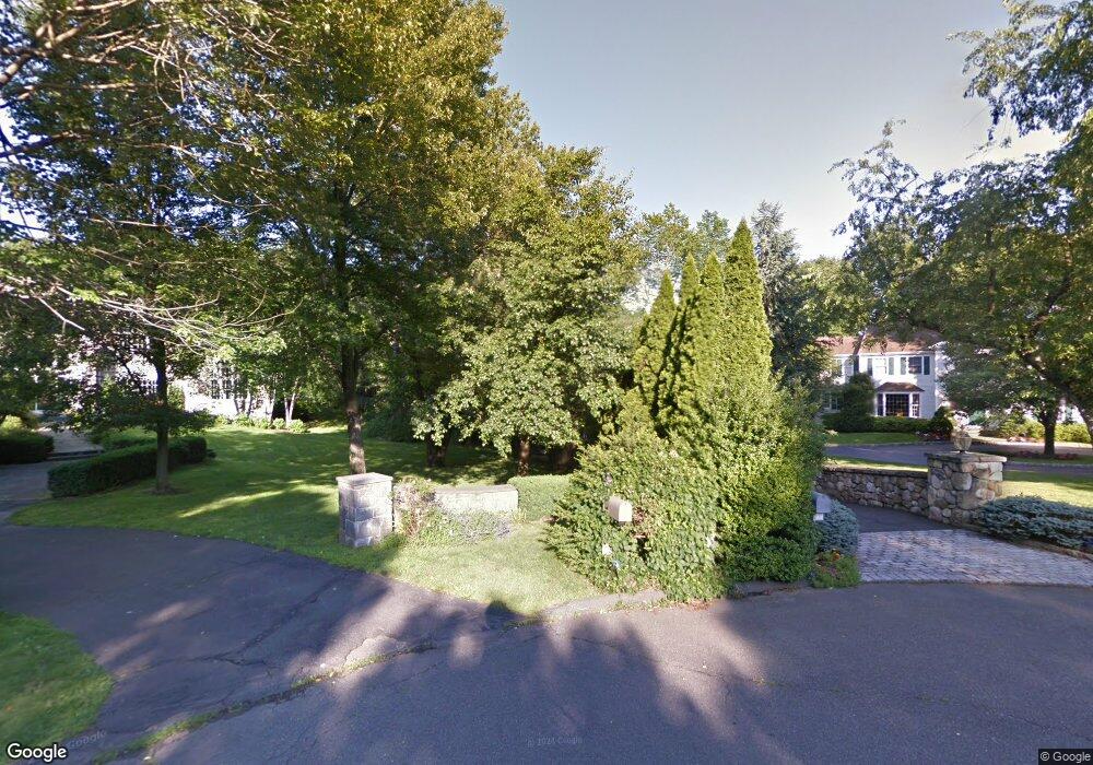
10 N Sasco Common Westport, CT 06880
Staples NeighborhoodEstimated Value: $2,682,861 - $3,245,000
4
Beds
5
Baths
4,887
Sq Ft
$620/Sq Ft
Est. Value
About This Home
This home is located at 10 N Sasco Common, Westport, CT 06880 and is currently estimated at $3,030,715, approximately $620 per square foot. 10 N Sasco Common is a home located in Fairfield County with nearby schools including Long Lots School, Bedford Middle School, and Staples High School.
Ownership History
Date
Name
Owned For
Owner Type
Purchase Details
Closed on
May 30, 2019
Sold by
Mulliga Brian J and Mulligan Barbara
Bought by
Mulligan Barbara
Current Estimated Value
Purchase Details
Closed on
Mar 10, 1993
Sold by
Ialeggio Anthony
Bought by
Mulligan Brian and Mulligan Barbara
Home Financials for this Owner
Home Financials are based on the most recent Mortgage that was taken out on this home.
Original Mortgage
$525,000
Interest Rate
7.8%
Mortgage Type
Unknown
Create a Home Valuation Report for This Property
The Home Valuation Report is an in-depth analysis detailing your home's value as well as a comparison with similar homes in the area
Home Values in the Area
Average Home Value in this Area
Purchase History
| Date | Buyer | Sale Price | Title Company |
|---|---|---|---|
| Mulligan Barbara | -- | -- | |
| Mulligan Barbara | -- | -- | |
| Mulligan Brian | $780,000 | -- | |
| Mulligan Brian | $780,000 | -- |
Source: Public Records
Mortgage History
| Date | Status | Borrower | Loan Amount |
|---|---|---|---|
| Previous Owner | Mulligan Brian | $525,000 |
Source: Public Records
Tax History Compared to Growth
Tax History
| Year | Tax Paid | Tax Assessment Tax Assessment Total Assessment is a certain percentage of the fair market value that is determined by local assessors to be the total taxable value of land and additions on the property. | Land | Improvement |
|---|---|---|---|---|
| 2025 | $21,097 | $1,118,600 | $327,600 | $791,000 |
| 2024 | $20,828 | $1,118,600 | $327,600 | $791,000 |
| 2023 | $20,526 | $1,118,600 | $327,600 | $791,000 |
| 2022 | $20,213 | $1,118,600 | $327,600 | $791,000 |
| 2021 | $4,339 | $1,118,600 | $327,600 | $791,000 |
| 2020 | $18,573 | $1,194,500 | $345,800 | $848,700 |
| 2019 | $9,005 | $1,194,500 | $345,800 | $848,700 |
| 2018 | $20,139 | $1,194,500 | $345,800 | $848,700 |
| 2017 | $4,027 | $1,194,500 | $345,800 | $848,700 |
| 2016 | $19,694 | $1,168,100 | $345,800 | $822,300 |
| 2015 | $23,944 | $1,323,600 | $285,700 | $1,037,900 |
| 2014 | $23,745 | $1,323,600 | $285,700 | $1,037,900 |
Source: Public Records
Map
Nearby Homes
- 478 Hulls Hwy
- 6 Sunny Acres Ln
- 125 Old Rd
- 1 Coastal Ct
- 60 Hulls Hwy Unit 60
- 107 Old Rd
- 260 Range Rd
- 144 Lansdowne Unit 144
- 86 Old Rd
- 56 Southport Woods Dr
- 7 High Gate Rd
- 1135 Hulls Farm Rd
- 153 Pease Ave
- 40 Maple Ave N
- 7 Roshab Ln
- 365 Greens Farms Rd
- 36 Maple Ave S
- 1001 Hulls Farm Rd
- 74 Westford Dr
- 1 Sturges Hwy Unit Lot 1
- 8 N Sasco Common
- 12 N Sasco Common
- 10 Grist Mill Ln
- 14 Grist Mill Ln
- 6 N Sasco Common
- 11 N Sasco Common
- 9 N Sasco Common
- 8 Grist Mill Ln
- 5 N Sasco Common
- 13 Grist Mill Ln
- 4 N Sasco Common
- 11 Grist Mill Ln
- 1 N Sasco Common
- 26 Bulkley Ave N
- 38 Bulkley Ave N
- 3 Gregg Ln
- 4 Grist Mill Ln
- 42 Bulkley Ave N
- 30 Bulkley Ave N
- 365 Hulls Hwy