10 NE Olde Wildes Farm Rd Kennebunkport, ME 04046
Estimated Value: $1,032,000 - $1,564,000
3
Beds
4
Baths
1,680
Sq Ft
$845/Sq Ft
Est. Value
About This Home
This home is located at 10 NE Olde Wildes Farm Rd, Kennebunkport, ME 04046 and is currently estimated at $1,419,565, approximately $844 per square foot. 10 NE Olde Wildes Farm Rd is a home located in York County with nearby schools including Kennebunk High School.
Ownership History
Date
Name
Owned For
Owner Type
Purchase Details
Closed on
Sep 9, 2021
Sold by
Valls Nicholas and Valls Maria I
Bought by
Lucido Timothy S
Current Estimated Value
Home Financials for this Owner
Home Financials are based on the most recent Mortgage that was taken out on this home.
Original Mortgage
$260,000
Outstanding Balance
$242,745
Interest Rate
4.75%
Mortgage Type
Purchase Money Mortgage
Estimated Equity
$1,176,820
Purchase Details
Closed on
Oct 24, 2018
Sold by
Springer Leighanne R
Bought by
Valls Maria I and Valls Nicholas
Purchase Details
Closed on
Jul 31, 2006
Sold by
Brown Marie E
Bought by
Wildes Allen E
Create a Home Valuation Report for This Property
The Home Valuation Report is an in-depth analysis detailing your home's value as well as a comparison with similar homes in the area
Home Values in the Area
Average Home Value in this Area
Purchase History
| Date | Buyer | Sale Price | Title Company |
|---|---|---|---|
| Lucido Timothy S | -- | None Available | |
| Valls Maria I | -- | -- | |
| Wildes Allen E | -- | -- |
Source: Public Records
Mortgage History
| Date | Status | Borrower | Loan Amount |
|---|---|---|---|
| Open | Lucido Timothy S | $260,000 |
Source: Public Records
Tax History Compared to Growth
Tax History
| Year | Tax Paid | Tax Assessment Tax Assessment Total Assessment is a certain percentage of the fair market value that is determined by local assessors to be the total taxable value of land and additions on the property. | Land | Improvement |
|---|---|---|---|---|
| 2024 | $7,567 | $1,164,200 | $305,900 | $858,300 |
| 2023 | $5,431 | $869,000 | $305,900 | $563,100 |
| 2022 | $2,065 | $344,200 | $305,900 | $38,300 |
| 2021 | $2,102 | $219,000 | $162,400 | $56,600 |
| 2020 | $2,022 | $214,000 | $157,400 | $56,600 |
| 2019 | $2,022 | $214,000 | $157,400 | $56,600 |
| 2018 | $1,648 | $214,000 | $157,400 | $56,600 |
| 2017 | $1,862 | $214,000 | $157,400 | $56,600 |
| 2016 | $1,772 | $214,000 | $157,400 | $56,600 |
| 2015 | $1,648 | $214,000 | $157,400 | $56,600 |
| 2014 | $1,633 | $214,000 | $157,400 | $56,600 |
Source: Public Records
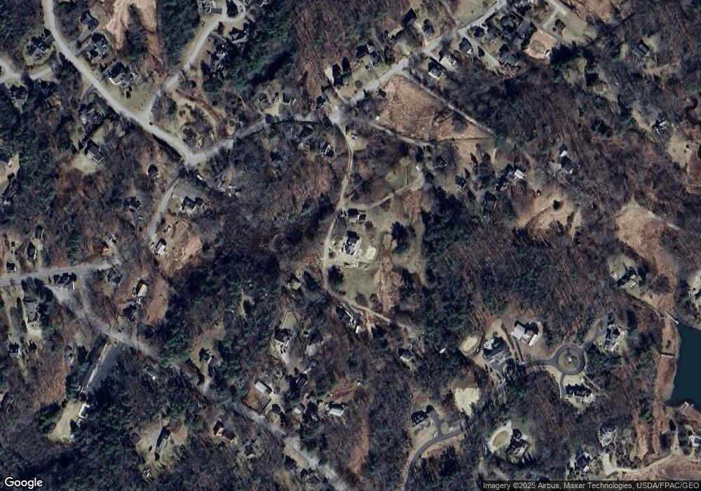
Map
Nearby Homes
- 3 Creekside Unit 2
- 1 Creekside Unit 1
- 113 Wildes District Rd
- 18 Nehoc Ln
- 52 Turbats Creek Rd
- 22 High Point Dr
- 11 Harbor Dr
- 116 School St
- 15 Magnolia Dr
- 5 Harwood Dr
- 1 Harwood Dr
- 5 Brooks St
- 12 Evening Place
- 0 Wildes District Rd
- 298 Ocean Ave
- 28 Washburn Dr
- 105 Old Cape Rd
- 51 Langsford Rd
- 17 Juniper Knoll
- 24 School St
- 0 Olde Wildes Farm Rd
- 9 Olde Wildes Farm Rd
- 8 Old Wildes Farm Ln
- 10 Old Wildes Farm Ln
- Lot 51 Old Wildes Farm Rd
- Lot 51A Old Wilde Farm Rd
- 9 Old Wilde Farm Rd
- 89 Wildes District Rd
- 91 Wildes District Rd
- 00 Old Wildes Farm Rd
- 6 Olde Wildes Farm Rd
- 87 Wildes District Rd
- 23 Obed Ln
- 93 Wildes District Rd
- 15 Old Wildes Farm Ln
- 83 Wildes District Rd
- 85 Wildes District Rd
- 17 Old Wildes Farm Ln
- 90 Wildes District Rd
- 29 Obed Ln