10 New Dockerty Hollow Rd West Milford, NJ 07480
Estimated Value: $622,000 - $680,000
--
Bed
--
Bath
2,584
Sq Ft
$253/Sq Ft
Est. Value
About This Home
This home is located at 10 New Dockerty Hollow Rd, West Milford, NJ 07480 and is currently estimated at $654,001, approximately $253 per square foot. 10 New Dockerty Hollow Rd is a home located in Passaic County with nearby schools including Macopin Middle School and West Milford High School.
Ownership History
Date
Name
Owned For
Owner Type
Purchase Details
Closed on
Sep 3, 1993
Sold by
Macglaufian Douglas and Macglaufian Joanne
Bought by
Gigliuto Robert and Bacher Ingrid
Current Estimated Value
Home Financials for this Owner
Home Financials are based on the most recent Mortgage that was taken out on this home.
Original Mortgage
$188,000
Interest Rate
7.18%
Create a Home Valuation Report for This Property
The Home Valuation Report is an in-depth analysis detailing your home's value as well as a comparison with similar homes in the area
Home Values in the Area
Average Home Value in this Area
Purchase History
| Date | Buyer | Sale Price | Title Company |
|---|---|---|---|
| Gigliuto Robert | $235,000 | -- |
Source: Public Records
Mortgage History
| Date | Status | Borrower | Loan Amount |
|---|---|---|---|
| Previous Owner | Gigliuto Robert | $188,000 |
Source: Public Records
Tax History Compared to Growth
Tax History
| Year | Tax Paid | Tax Assessment Tax Assessment Total Assessment is a certain percentage of the fair market value that is determined by local assessors to be the total taxable value of land and additions on the property. | Land | Improvement |
|---|---|---|---|---|
| 2025 | $15,036 | $370,900 | $122,600 | $248,300 |
| 2024 | $15,114 | $370,900 | $122,600 | $248,300 |
| 2022 | $14,346 | $370,900 | $122,600 | $248,300 |
| 2021 | $14,039 | $370,900 | $122,600 | $248,300 |
| 2020 | $13,890 | $370,900 | $122,600 | $248,300 |
| 2019 | $13,705 | $370,900 | $122,600 | $248,300 |
| 2018 | $13,671 | $370,900 | $122,600 | $248,300 |
| 2017 | $13,734 | $370,900 | $122,600 | $248,300 |
| 2016 | $13,757 | $370,900 | $122,600 | $248,300 |
| 2015 | $13,597 | $370,900 | $122,600 | $248,300 |
| 2014 | $13,267 | $370,900 | $122,600 | $248,300 |
Source: Public Records
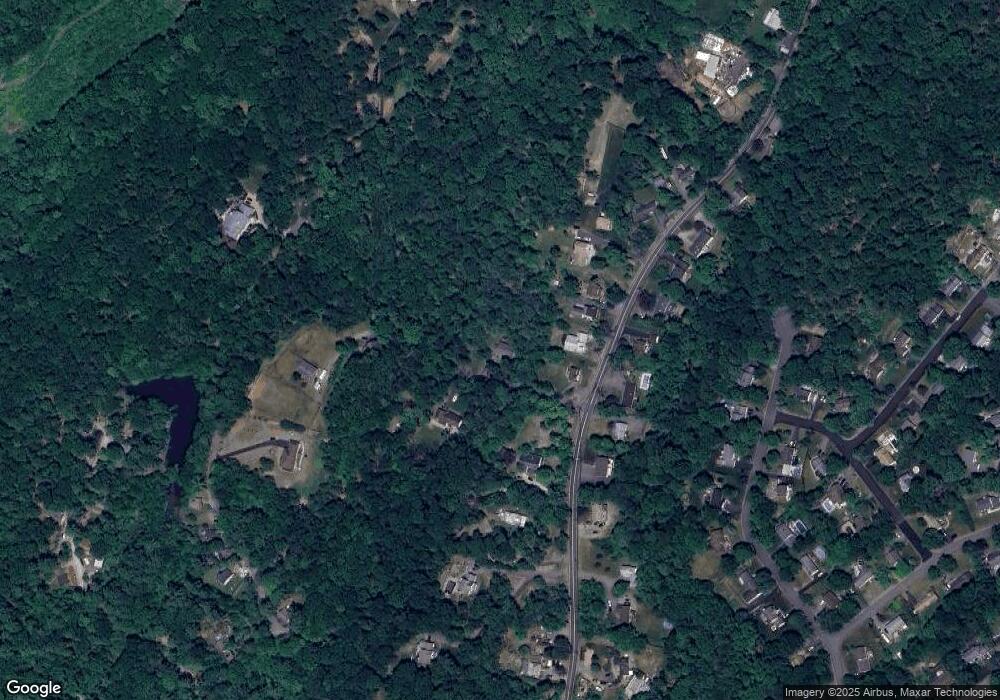
Map
Nearby Homes
- 0 Rock Ledge Rd Unit 25030488
- 0 Rock Ledge Rd Unit 3983243
- 1731 MacOpin Rd
- 2 Iron Hill
- 17 Camelot Dr
- 1772 MacOpin Rd
- 45 Heritage Dr
- 11 Eagles Nest Terrace
- 91 Heritage Dr
- 2 Heritage Dr
- 33 Eagles Nest Terrace
- 82 Heritage Dr
- 68 Heritage Dr
- 24 Eagles Nest Terrace
- 60 Eagles Nest Terrace
- 7 New Bedford Rd Unit H
- 16 Quincy Ln Unit A
- 16 Quincy Ln
- 95 Morris Ave
- 21 Plymouth Alley Unit F
- 1649 MacOpin Rd
- 1659 MacOpin Rd
- 1653 MacOpin Rd
- 1657 MacOpin Rd
- 15 New Dockerty Hollow Rd
- 1663 MacOpin Rd
- 1639 MacOpin Rd
- 1658 MacOpin Rd
- 1650 MacOpin Rd
- 1667 MacOpin Rd
- 1640 MacOpin Rd
- 1646 MacOpin Rd
- 1662 MacOpin Rd
- 25 New Dockerty Hollow Rd
- 1633 MacOpin Rd
- 1671 MacOpin Rd
- 1670 MacOpin Rd
- 1636 MacOpin Rd
- 1673 MacOpin Rd
- 1674 MacOpin Rd