10 Nicoles Way Unit S/L 1 Munson, OH 44024
Estimated Value: $387,000 - $725,000
4
Beds
3
Baths
2,300
Sq Ft
$253/Sq Ft
Est. Value
About This Home
This home is located at 10 Nicoles Way Unit S/L 1, Munson, OH 44024 and is currently estimated at $582,542, approximately $253 per square foot. 10 Nicoles Way Unit S/L 1 is a home located in Geauga County with nearby schools including Chardon High School and Notre Dame Elementary School.
Ownership History
Date
Name
Owned For
Owner Type
Purchase Details
Closed on
Mar 15, 2013
Sold by
Enzoco Development Llc
Bought by
Mezerkor Dennis E and Mezerkor Terri
Current Estimated Value
Home Financials for this Owner
Home Financials are based on the most recent Mortgage that was taken out on this home.
Original Mortgage
$341,952
Outstanding Balance
$240,759
Interest Rate
3.49%
Mortgage Type
New Conventional
Estimated Equity
$341,783
Create a Home Valuation Report for This Property
The Home Valuation Report is an in-depth analysis detailing your home's value as well as a comparison with similar homes in the area
Home Values in the Area
Average Home Value in this Area
Purchase History
| Date | Buyer | Sale Price | Title Company |
|---|---|---|---|
| Mezerkor Dennis E | $360,000 | Geauga Title Insurance |
Source: Public Records
Mortgage History
| Date | Status | Borrower | Loan Amount |
|---|---|---|---|
| Open | Mezerkor Dennis E | $341,952 |
Source: Public Records
Tax History Compared to Growth
Tax History
| Year | Tax Paid | Tax Assessment Tax Assessment Total Assessment is a certain percentage of the fair market value that is determined by local assessors to be the total taxable value of land and additions on the property. | Land | Improvement |
|---|---|---|---|---|
| 2024 | $7,436 | $152,150 | $30,840 | $121,310 |
| 2023 | $7,436 | $152,150 | $30,840 | $121,310 |
| 2022 | $6,835 | $120,190 | $25,760 | $94,430 |
| 2021 | $6,805 | $120,190 | $25,760 | $94,430 |
| 2020 | $6,855 | $120,190 | $25,760 | $94,430 |
| 2019 | $650 | $110,080 | $25,760 | $84,320 |
| 2018 | $6,930 | $110,080 | $25,760 | $84,320 |
| 2017 | $6,499 | $110,080 | $25,760 | $84,320 |
| 2016 | $7,132 | $117,850 | $33,740 | $84,110 |
| 2015 | $6,725 | $117,850 | $33,740 | $84,110 |
| 2014 | $6,725 | $117,850 | $33,740 | $84,110 |
| 2013 | $1,938 | $33,740 | $33,740 | $0 |
Source: Public Records
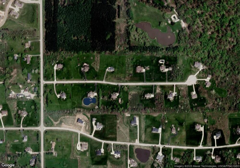
Map
Nearby Homes
- S/L 19 Sutton Place
- 11450 Eastridge Cir
- 10640 Butternut Rd
- Parcel 1 Auburn Rd
- Parcel 2 Auburn Rd
- 11710 Butternut Rd
- 12452 Auburn Rd
- 12386 Auburn Rd
- 10331 Butternut Rd
- 10263 Wye Rd
- 11235 Pekin Rd
- 12865 Rockhaven Rd
- 0 Waterfowl Ln Unit 5159838
- 12005 Auburn Rd
- 14205 Country River Ln
- 10885 Scranton Woods Trail
- 9613 Kim Dr
- 0 Bass Lake Rd Unit 5156737
- 13820 Aquilla Rd
- 11800 Bass Lake Rd
- 10 Nicoles Way
- 11175 Nicoles Way
- 3 Nicoles Way Unit 3
- 11173 Nicoles Way
- 11140 Nicoles Way
- 11200 Nicoles Way
- 1 Nicoles Way Unit S/L 1
- 1 Nicoles Way
- 11141 Nicoles Way
- 11211 Nicoles Way
- 11234 Nicoles Way
- 11160 Sutton Place
- 11110 Nicoles Way
- 11140 Sutton Place
- 11109 Nicoles Way
- 1 Sutton Place
- 11108 Nicoles Way
- 11230 Sutton Place
- 13180 Auburn Rd
- 11210 Sutton Place