10 Night Harbour Hilton Head Island, SC 29928
Palmetto Dunes NeighborhoodEstimated Value: $3,629,960 - $7,572,000
5
Beds
6
Baths
4,413
Sq Ft
$1,123/Sq Ft
Est. Value
About This Home
This home is located at 10 Night Harbour, Hilton Head Island, SC 29928 and is currently estimated at $4,953,653, approximately $1,122 per square foot. 10 Night Harbour is a home located in Beaufort County with nearby schools including Hilton Head Island Early Childhood Center, Hilton Head Island Elementary School, and Hilton Head Island Middle School.
Ownership History
Date
Name
Owned For
Owner Type
Purchase Details
Closed on
Jul 29, 2013
Sold by
Miller William G
Bought by
Ross Frank J and Ross Terry N
Current Estimated Value
Home Financials for this Owner
Home Financials are based on the most recent Mortgage that was taken out on this home.
Original Mortgage
$3,008,000
Outstanding Balance
$2,197,991
Interest Rate
3.96%
Mortgage Type
Purchase Money Mortgage
Estimated Equity
$2,755,662
Purchase Details
Closed on
Aug 7, 2007
Sold by
Miller Loraine M
Bought by
Miller William G
Create a Home Valuation Report for This Property
The Home Valuation Report is an in-depth analysis detailing your home's value as well as a comparison with similar homes in the area
Home Values in the Area
Average Home Value in this Area
Purchase History
| Date | Buyer | Sale Price | Title Company |
|---|---|---|---|
| Ross Frank J | $3,760,000 | -- | |
| Miller William G | -- | Attorney |
Source: Public Records
Mortgage History
| Date | Status | Borrower | Loan Amount |
|---|---|---|---|
| Open | Ross Frank J | $3,008,000 |
Source: Public Records
Tax History Compared to Growth
Tax History
| Year | Tax Paid | Tax Assessment Tax Assessment Total Assessment is a certain percentage of the fair market value that is determined by local assessors to be the total taxable value of land and additions on the property. | Land | Improvement |
|---|---|---|---|---|
| 2024 | $62,516 | $251,070 | $0 | $0 |
| 2023 | $62,516 | $251,070 | $0 | $0 |
| 2022 | $57,055 | $218,320 | $0 | $0 |
| 2021 | $57,252 | $218,320 | $0 | $0 |
| 2020 | $55,461 | $218,320 | $0 | $0 |
| 2019 | $54,574 | $218,320 | $0 | $0 |
| 2018 | $51,912 | $218,320 | $0 | $0 |
| 2017 | $55,926 | $225,600 | $0 | $0 |
| 2016 | $53,563 | $225,600 | $0 | $0 |
| 2014 | $49,616 | $225,600 | $0 | $0 |
Source: Public Records
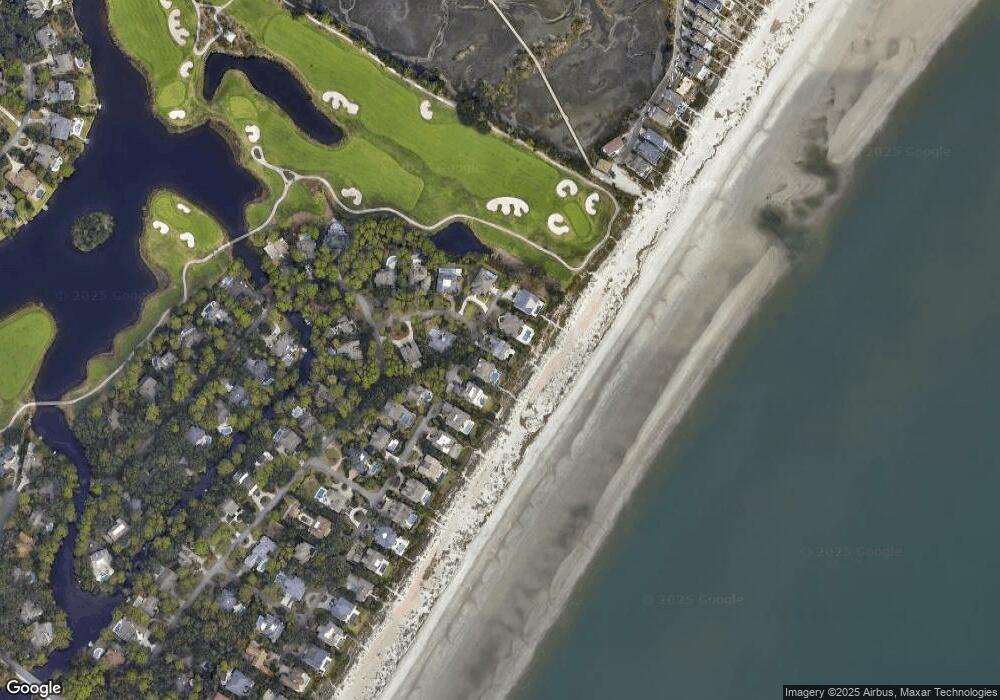
Map
Nearby Homes
- 155 Mooring Buoy
- 153 Mooring Buoy
- 3 Ketch
- 22 Full Sweep
- 87 Singleton Beach Rd
- 12 Port Tack
- 17 Corrine Ln
- 32 Crabline Ct
- 663 William Hilton Pkwy Unit 2123
- 663 William Hilton Pkwy Unit 4413
- 663 William Hilton Pkwy Unit 4104
- 663 William Hilton Pkwy Unit 1423
- 663 William Hilton Pkwy Unit 3323
- 663 William Hilton Pkwy Unit 4221
- 663 William Hilton Pkwy Unit 4209
- 663 William Hilton Pkwy Unit 3117
- 663 William Hilton Pkwy Unit 3102
- 663 William Hilton Pkwy Unit 4335
- 663 William Hilton Pkwy Unit 1221
- 663 William Hilton Pkwy Unit 4420
- 11 Night Heron Ln
- 8 Night Harbour
- 9 Night Harbour
- 6 Night Harbour
- 9 Night Heron Ln
- 4 Night Harbour
- 7 Night Harbor
- 7 Night Heron Ln
- 9 Man o War
- 2 Night Harbour
- 170 Mooring Buoy
- 164 Mooring Buoy
- 3 Night Harbor
- 11 Man o War
- 3 Night Heron Ln
- 162 Mooring Buoy
- 1 Night Harbor
- 1 Night Heron Ln
- 14 Man o War
- 13 Man o War