10 North Dr Sag Harbor, NY 11963
Estimated Value: $3,446,000 - $8,249,000
4
Beds
5
Baths
3,200
Sq Ft
$1,836/Sq Ft
Est. Value
About This Home
This home is located at 10 North Dr, Sag Harbor, NY 11963 and is currently estimated at $5,876,328, approximately $1,836 per square foot. 10 North Dr is a home located in Suffolk County with nearby schools including Sag Harbor Elementary School and Pierson Middle/High School.
Ownership History
Date
Name
Owned For
Owner Type
Purchase Details
Closed on
Oct 6, 2016
Sold by
Skouras George A and Skouras Lourdes Lopez
Bought by
10 North Drive Llc
Current Estimated Value
Purchase Details
Closed on
May 25, 2006
Sold by
Lewis Paul S
Bought by
Skouras George A
Purchase Details
Closed on
May 17, 2006
Sold by
Lewis Paul S
Bought by
Skouras George A
Purchase Details
Closed on
Apr 1, 2002
Sold by
Lewis Jeanette
Bought by
Lewis Jeanette and Lewis Paul S
Create a Home Valuation Report for This Property
The Home Valuation Report is an in-depth analysis detailing your home's value as well as a comparison with similar homes in the area
Home Values in the Area
Average Home Value in this Area
Purchase History
| Date | Buyer | Sale Price | Title Company |
|---|---|---|---|
| 10 North Drive Llc | $5,750,000 | None Available | |
| 10 North Drive Llc | $5,750,000 | None Available | |
| Skouras George A | $3,450,500 | William Fleming | |
| Skouras George A | $3,450,500 | William Fleming | |
| Skouras George A | $3,450,500 | William Fleming | |
| Skouras George A | $3,450,500 | William Fleming | |
| Lewis Jeanette | -- | Commonwealth Land Title Ins | |
| Lewis Jeanette | -- | Commonwealth Land Title Ins |
Source: Public Records
Tax History
| Year | Tax Paid | Tax Assessment Tax Assessment Total Assessment is a certain percentage of the fair market value that is determined by local assessors to be the total taxable value of land and additions on the property. | Land | Improvement |
|---|---|---|---|---|
| 2024 | $5,877 | $5,794,800 | $4,526,300 | $1,268,500 |
| 2023 | $2,939 | $5,794,800 | $4,526,300 | $1,268,500 |
| 2022 | $18,019 | $5,794,800 | $4,526,300 | $1,268,500 |
| 2021 | $18,019 | $5,776,400 | $4,526,300 | $1,250,100 |
| 2020 | $37,484 | $5,776,400 | $4,526,300 | $1,250,100 |
| 2019 | $37,031 | $0 | $0 | $0 |
| 2018 | -- | $5,654,800 | $4,526,300 | $1,128,500 |
| 2017 | $28,575 | $4,507,000 | $3,378,500 | $1,128,500 |
| 2016 | $17,594 | $2,674,900 | $2,238,500 | $436,400 |
| 2015 | -- | $2,674,900 | $2,238,500 | $436,400 |
| 2014 | -- | $2,674,900 | $2,238,500 | $436,400 |
Source: Public Records
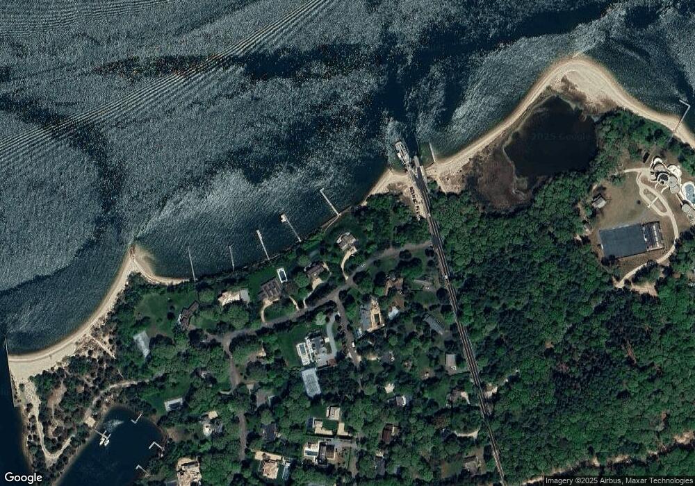
Map
Nearby Homes
- 27 Ezekills Hollow
- 3 N Haven Way
- 4 Mashomuck Dr
- 23 Osprey Rd
- 24 On the Bluffs
- 11 Sunset Beach Rd
- 33 Mashomuck Dr
- 51 Mashomuck Dr
- 46 Robertson Dr
- 100 S Ferry Rd
- 18 Sunset Rd
- 2 Sunset Rd
- 214 Ferry Rd
- 13 Winthrop Rd Unit 24
- 13 Tarkettle Rd
- 47B S Ferry Rd
- 166 Ferry Rd
- 15 Maunakea St
- 52 S Midway Rd
- 16 Shelterlands Path
Your Personal Tour Guide
Ask me questions while you tour the home.