10 Northwood Dr Unit 401 Sudbury, MA 01776
Estimated Value: $540,000 - $656,000
1
Bed
2
Baths
1,668
Sq Ft
$362/Sq Ft
Est. Value
About This Home
This home is located at 10 Northwood Dr Unit 401, Sudbury, MA 01776 and is currently estimated at $603,373, approximately $361 per square foot. 10 Northwood Dr Unit 401 is a home located in Middlesex County with nearby schools including Josiah Haynes Elementary School, Ephraim Curtis Middle School, and Lincoln-Sudbury Regional High School.
Ownership History
Date
Name
Owned For
Owner Type
Purchase Details
Closed on
Jan 30, 2007
Sold by
Peck Marion P
Bought by
Presti Richard M
Current Estimated Value
Home Financials for this Owner
Home Financials are based on the most recent Mortgage that was taken out on this home.
Original Mortgage
$274,050
Outstanding Balance
$164,053
Interest Rate
6.15%
Mortgage Type
Purchase Money Mortgage
Estimated Equity
$439,320
Create a Home Valuation Report for This Property
The Home Valuation Report is an in-depth analysis detailing your home's value as well as a comparison with similar homes in the area
Home Values in the Area
Average Home Value in this Area
Purchase History
| Date | Buyer | Sale Price | Title Company |
|---|---|---|---|
| Presti Richard M | $391,500 | -- |
Source: Public Records
Mortgage History
| Date | Status | Borrower | Loan Amount |
|---|---|---|---|
| Open | Presti Richard M | $274,050 |
Source: Public Records
Tax History Compared to Growth
Tax History
| Year | Tax Paid | Tax Assessment Tax Assessment Total Assessment is a certain percentage of the fair market value that is determined by local assessors to be the total taxable value of land and additions on the property. | Land | Improvement |
|---|---|---|---|---|
| 2025 | $6,745 | $460,700 | $0 | $460,700 |
| 2024 | $6,526 | $446,700 | $0 | $446,700 |
| 2023 | $6,571 | $416,700 | $0 | $416,700 |
| 2022 | $6,330 | $350,700 | $0 | $350,700 |
| 2021 | $6,329 | $336,100 | $0 | $336,100 |
| 2020 | $6,367 | $345,100 | $0 | $345,100 |
| 2019 | $6,181 | $345,100 | $0 | $345,100 |
| 2018 | $3,776 | $210,600 | $0 | $210,600 |
| 2017 | $3,379 | $190,500 | $0 | $190,500 |
| 2016 | $3,391 | $190,500 | $0 | $190,500 |
| 2015 | $3,346 | $190,100 | $0 | $190,100 |
| 2014 | $3,449 | $191,300 | $0 | $191,300 |
Source: Public Records
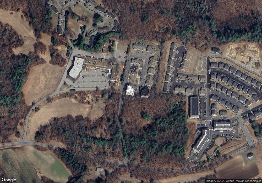
Map
Nearby Homes
- 121 White Pond Way Unit 121
- 401 Emery Ln Unit 104
- 401 Emery Ln Unit 304
- 24 Rookery Ln Unit 6
- 56 Rookery Ln Unit 4
- 40 Rookery Ln Unit 5
- 72 Rookery Ln Unit 3
- 42 Dakin Rd
- 941 Concord Rd
- Lot 5 Sailaway Ln
- 45 N Crescent Cir
- Lot 4 Sailaway Ln
- 2 Betts Way
- 8 Mina Way
- 0 Elm Unit 73282184
- Lot 9 Sailaway Ln
- 4 Betts Way
- 122 Sand Gully Rd N Unit B
- 14 Frost Ln
- 16 Blacksmith Dr
- 10 Northwood Dr Unit 403
- 10 Northwood Dr Unit 402
- 10 Northwood Dr Unit 303
- 10 Northwood Dr Unit 302
- 10 Northwood Dr Unit 301
- 10 Northwood Dr Unit 203
- 10 Northwood Dr Unit 202
- 10 Northwood Dr Unit 201
- 10 Northwood Dr Unit 103
- 10 Northwood Dr Unit 102
- 10 Northwood Dr Unit 101
- 10 Northwood Dr Unit 103 10
- 10 Northwood Dr Unit 1A
- 20 Northwood Dr Unit 403
- 20 Northwood Dr Unit 402
- 20 Northwood Dr Unit 401
- 20 Northwood Dr Unit 303
- 20 Northwood Dr Unit 302
- 20 Northwood Dr Unit 301
- 20 Northwood Dr Unit 202