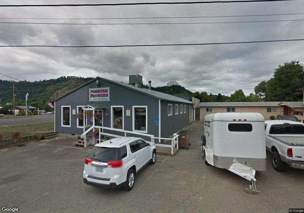
10 Oak St Unit 1 Winston, OR 97496
Estimated Value: $445,936
2
Beds
2
Baths
4,000
Sq Ft
$111/Sq Ft
Est. Value
About This Home
This home is located at 10 Oak St Unit 1, Winston, OR 97496 and is currently estimated at $445,936, approximately $111 per square foot. 10 Oak St Unit 1 is a home located in Douglas County with nearby schools including Douglas High School.
Ownership History
Date
Name
Owned For
Owner Type
Purchase Details
Closed on
Feb 7, 2007
Sold by
Bernardo Paolo
Bought by
Bernardo Paolo and Gish Fatima
Current Estimated Value
Purchase Details
Closed on
Feb 17, 2005
Sold by
Blanchard Bradley Paul
Bought by
Bernardo Paolo
Home Financials for this Owner
Home Financials are based on the most recent Mortgage that was taken out on this home.
Original Mortgage
$40,000
Outstanding Balance
$20,112
Interest Rate
5.79%
Mortgage Type
Seller Take Back
Estimated Equity
$425,824
Create a Home Valuation Report for This Property
The Home Valuation Report is an in-depth analysis detailing your home's value as well as a comparison with similar homes in the area
Home Values in the Area
Average Home Value in this Area
Purchase History
| Date | Buyer | Sale Price | Title Company |
|---|---|---|---|
| Bernardo Paolo | -- | None Available | |
| Bernardo Paolo | $180,000 | Douglas County Title Company |
Source: Public Records
Mortgage History
| Date | Status | Borrower | Loan Amount |
|---|---|---|---|
| Open | Bernardo Paolo | $40,000 |
Source: Public Records
Tax History Compared to Growth
Tax History
| Year | Tax Paid | Tax Assessment Tax Assessment Total Assessment is a certain percentage of the fair market value that is determined by local assessors to be the total taxable value of land and additions on the property. | Land | Improvement |
|---|---|---|---|---|
| 2025 | $4,337 | $261,005 | -- | -- |
| 2024 | $4,215 | $253,403 | -- | -- |
| 2023 | $4,096 | $246,023 | $0 | $0 |
| 2022 | $3,974 | $238,854 | $0 | $0 |
| 2021 | $3,881 | $232,716 | $0 | $0 |
| 2020 | $3,755 | $225,145 | $0 | $0 |
| 2019 | $3,666 | $218,595 | $0 | $0 |
| 2018 | $3,568 | $0 | $0 | $0 |
| 2017 | $3,474 | $206,041 | $0 | $0 |
| 2016 | $3,278 | $200,044 | $0 | $0 |
| 2015 | $3,298 | $195,737 | $0 | $0 |
| 2014 | $3,250 | $190,032 | $0 | $0 |
| 2013 | -- | $184,493 | $0 | $0 |
Source: Public Records
Map
Nearby Homes
- 0 SW Main St
- 260 SW Ford Ave
- 120 SE Edwards Ave
- 0 SE Gregory Dr
- 350 SE Park St
- 301 NW Midway St
- 68 NW Rose St
- 110 SE Darrell Ave
- 90 SE Darrell Ave
- 271 SE Robinson St
- 291 SE Shigley St
- 600 SE Carrol St
- 380 Sunnyside Dr
- 308 NW Civil Bend Ave
- 151 Sherry St
- 173 NE Main St
- 841 NW Lori St
- 250 NE Jorgen St
- 0 NW Galaxy Dr
- 215 Parkinson Rd