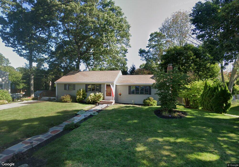
10 Old Colony Way Scituate, MA 02066
Estimated Value: $616,000 - $659,053
3
Beds
2
Baths
1,104
Sq Ft
$582/Sq Ft
Est. Value
About This Home
This home is located at 10 Old Colony Way, Scituate, MA 02066 and is currently estimated at $642,263, approximately $581 per square foot. 10 Old Colony Way is a home located in Plymouth County with nearby schools including Wampatuck Elementary School, Lester J. Gates Middle School, and Scituate High School.
Ownership History
Date
Name
Owned For
Owner Type
Purchase Details
Closed on
Feb 15, 2022
Sold by
Manning John T and Manning Sheila M
Bought by
Dabreio Katherine A and Mckay Siobhan M
Current Estimated Value
Purchase Details
Closed on
Jan 1, 1979
Bought by
Manning John T and Manning Sheila
Create a Home Valuation Report for This Property
The Home Valuation Report is an in-depth analysis detailing your home's value as well as a comparison with similar homes in the area
Home Values in the Area
Average Home Value in this Area
Purchase History
| Date | Buyer | Sale Price | Title Company |
|---|---|---|---|
| Dabreio Katherine A | -- | None Available | |
| Manning John T | -- | -- |
Source: Public Records
Mortgage History
| Date | Status | Borrower | Loan Amount |
|---|---|---|---|
| Previous Owner | Manning John T | $165,000 | |
| Previous Owner | Manning John T | $15,000 |
Source: Public Records
Tax History Compared to Growth
Tax History
| Year | Tax Paid | Tax Assessment Tax Assessment Total Assessment is a certain percentage of the fair market value that is determined by local assessors to be the total taxable value of land and additions on the property. | Land | Improvement |
|---|---|---|---|---|
| 2025 | $5,450 | $545,500 | $326,800 | $218,700 |
| 2024 | $5,300 | $511,600 | $297,100 | $214,500 |
| 2023 | $5,485 | $483,100 | $285,100 | $198,000 |
| 2022 | $5,485 | $434,600 | $253,900 | $180,700 |
| 2021 | $5,245 | $393,500 | $241,800 | $151,700 |
| 2020 | $5,038 | $373,200 | $232,500 | $140,700 |
| 2019 | $4,957 | $360,800 | $227,900 | $132,900 |
| 2018 | $4,735 | $339,400 | $229,800 | $109,600 |
| 2017 | $4,647 | $329,800 | $220,200 | $109,600 |
| 2016 | $4,393 | $310,700 | $201,100 | $109,600 |
| 2015 | $3,944 | $301,100 | $191,500 | $109,600 |
Source: Public Records
Map
Nearby Homes
- 18 James Way
- 148 Tilden Rd
- 290 Beaver Dam Rd
- 74 Tilden Rd
- 111 Elm St
- 22 Kings Way
- 115 Elm St
- 12 Richfield Rd
- 23 Lois Ann Ct Unit 23
- 76 A Brook St
- 76 A Brook St Unit 1
- 54 Woodland Rd
- 2 Windward Ln
- 30 Irving Rd
- 13 Hornbeam Rd
- 209 Hatherly Rd
- 355 Tilden Rd
- 1 Hillside Rd
- 32 Barker Rd Unit 3
- 378 Tilden Rd
- 6 Old Colony Way
- 16 Old Colony Way
- 15 Old Colony Way
- 5 Old Colony Way
- 2 Old Colony Way
- 18 Old Colony Way
- 8 Sangay Ln
- 38 Thomas Ave
- 11 Sandy Hill Cir Unit 11
- 9 Sandy Hill Cir Unit 9
- 34 Thomas Ave
- 7 Sangay Ln
- 22 Old Colony Way
- 46 Thomas Ave
- 21 Old Colony Way
- 3 Sangay Ln
- 30 Thomas Ave
- 35 Thomas Ave
- 28 Old Colony Way
- 41 Thomas Ave