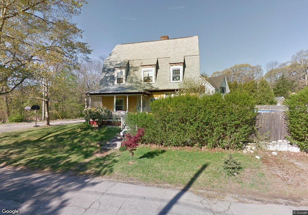
10 Oneida Ave Brockton, MA 02301
Estimated Value: $514,000 - $598,000
4
Beds
1
Bath
2,128
Sq Ft
$258/Sq Ft
Est. Value
About This Home
This home is located at 10 Oneida Ave, Brockton, MA 02301 and is currently estimated at $549,909, approximately $258 per square foot. 10 Oneida Ave is a home located in Plymouth County with nearby schools including Louis F Angelo Elementary School, Hancock Elementary School, and Raymond K-8 Elementary School.
Ownership History
Date
Name
Owned For
Owner Type
Purchase Details
Closed on
Apr 30, 2002
Sold by
Petit Thomas J and Petit Carol E
Bought by
Ellis Monica M
Current Estimated Value
Home Financials for this Owner
Home Financials are based on the most recent Mortgage that was taken out on this home.
Original Mortgage
$178,386
Interest Rate
7.05%
Mortgage Type
Purchase Money Mortgage
Create a Home Valuation Report for This Property
The Home Valuation Report is an in-depth analysis detailing your home's value as well as a comparison with similar homes in the area
Home Values in the Area
Average Home Value in this Area
Purchase History
| Date | Buyer | Sale Price | Title Company |
|---|---|---|---|
| Ellis Monica M | $185,000 | -- |
Source: Public Records
Mortgage History
| Date | Status | Borrower | Loan Amount |
|---|---|---|---|
| Open | Ellis Monica M | $230,350 | |
| Closed | Ellis Monica M | $178,386 | |
| Previous Owner | Ellis Monica M | $40,000 |
Source: Public Records
Tax History Compared to Growth
Tax History
| Year | Tax Paid | Tax Assessment Tax Assessment Total Assessment is a certain percentage of the fair market value that is determined by local assessors to be the total taxable value of land and additions on the property. | Land | Improvement |
|---|---|---|---|---|
| 2025 | $5,724 | $472,700 | $144,100 | $328,600 |
| 2024 | $5,601 | $466,000 | $144,100 | $321,900 |
| 2023 | $5,779 | $445,200 | $108,800 | $336,400 |
| 2022 | $5,708 | $408,600 | $98,800 | $309,800 |
| 2021 | $5,459 | $376,500 | $91,500 | $285,000 |
| 2020 | $4,940 | $326,100 | $87,800 | $238,300 |
| 2019 | $4,761 | $306,400 | $81,300 | $225,100 |
| 2018 | $4,495 | $279,900 | $81,300 | $198,600 |
| 2017 | $3,978 | $247,100 | $81,300 | $165,800 |
| 2016 | $4,324 | $249,100 | $73,600 | $175,500 |
| 2015 | $3,904 | $215,100 | $73,600 | $141,500 |
| 2014 | $3,688 | $203,400 | $73,600 | $129,800 |
Source: Public Records
Map
Nearby Homes
- 20 Montauk Rd
- 75 Colonel Bell Dr Unit 77-11
- 77 Colonel Bell Dr Unit 4
- 721 Pleasant St
- 15 Troy St
- 7 N Winnifred Rd
- 126 Coventry Cir
- 45 Cross St
- 4 Park Rd
- 161 Moraine St
- 72 W Elm Terrace
- 508 Oak St Unit 10
- 114 Oak Ln Unit 11
- 72 Kurland Ave
- 116 Oak Ln Unit 12
- 116 Oak Ln Unit 2
- 42 Baxendale Terrace
- 194 Prospect St
- 0 Moraine St
- 118 Oak Ln Unit 10