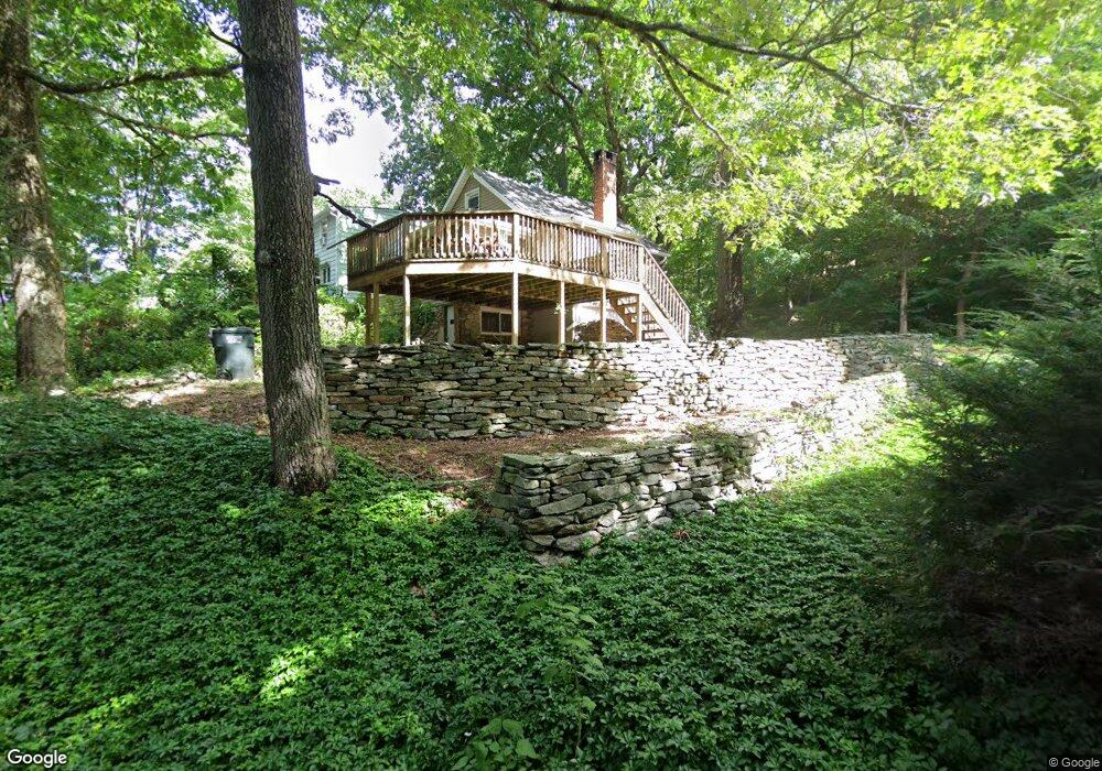
10 Oscela Trail Clinton, CT 06413
Estimated Value: $241,488 - $305,000
1
Bed
1
Bath
770
Sq Ft
$350/Sq Ft
Est. Value
About This Home
This home is located at 10 Oscela Trail, Clinton, CT 06413 and is currently estimated at $269,372, approximately $349 per square foot. 10 Oscela Trail is a home located in Middlesex County with nearby schools including Lewin G. Joel Jr. School, The Morgan School, and Our Lady of Mercy Preparatory Academy.
Ownership History
Date
Name
Owned For
Owner Type
Purchase Details
Closed on
May 25, 2000
Sold by
Boornazian Robin S
Bought by
Everett Karon
Current Estimated Value
Home Financials for this Owner
Home Financials are based on the most recent Mortgage that was taken out on this home.
Original Mortgage
$50,800
Outstanding Balance
$17,499
Interest Rate
8.1%
Estimated Equity
$251,873
Purchase Details
Closed on
Feb 18, 1992
Sold by
Blundon Robert B and Blundon Melissa P
Bought by
Nelson Scott M
Purchase Details
Closed on
Oct 22, 1987
Sold by
Martell May G Est
Bought by
Blundon Robt B
Create a Home Valuation Report for This Property
The Home Valuation Report is an in-depth analysis detailing your home's value as well as a comparison with similar homes in the area
Home Values in the Area
Average Home Value in this Area
Purchase History
| Date | Buyer | Sale Price | Title Company |
|---|---|---|---|
| Everett Karon | $53,500 | -- | |
| Everett Karon | $53,500 | -- | |
| Nelson Scott M | $87,000 | -- | |
| Blundon Robt B | $67,500 | -- |
Source: Public Records
Mortgage History
| Date | Status | Borrower | Loan Amount |
|---|---|---|---|
| Open | Blundon Robt B | $50,800 | |
| Closed | Blundon Robt B | $50,800 | |
| Previous Owner | Blundon Robt B | $65,000 |
Source: Public Records
Tax History Compared to Growth
Tax History
| Year | Tax Paid | Tax Assessment Tax Assessment Total Assessment is a certain percentage of the fair market value that is determined by local assessors to be the total taxable value of land and additions on the property. | Land | Improvement |
|---|---|---|---|---|
| 2025 | $2,775 | $89,100 | $37,000 | $52,100 |
| 2024 | $2,696 | $89,100 | $37,000 | $52,100 |
| 2023 | $2,658 | $89,100 | $37,000 | $52,100 |
| 2022 | $2,658 | $89,100 | $37,000 | $52,100 |
| 2021 | $2,291 | $76,800 | $32,600 | $44,200 |
| 2020 | $2,400 | $76,800 | $32,600 | $44,200 |
| 2019 | $2,400 | $76,800 | $32,600 | $44,200 |
| 2018 | $2,345 | $76,800 | $32,600 | $44,200 |
| 2017 | $2,297 | $76,800 | $32,600 | $44,200 |
| 2016 | $2,084 | $76,800 | $32,600 | $44,200 |
| 2015 | $2,350 | $87,800 | $36,200 | $51,600 |
| 2014 | $2,307 | $87,800 | $36,200 | $51,600 |
Source: Public Records
Map
Nearby Homes
- 4 Columbia Rd
- 3 Jamaica Rd
- 318 Horse Pond Rd
- 4 Van Dyke Ln
- 97 Kelsey Springs Dr
- 141 Duck Hole Rd
- 0 Skytop Dr
- 454 Horse Pond Rd Unit B
- 454 Horse Pond Rd Unit D
- 454 Horse Pond Rd Unit C
- 18 Kelsey Springs Dr
- 462 Horse Pond Rd
- 71 Madison Springs Dr
- 20 Strawberry Hill Rd
- 73 Airline Rd
- 60 Robin Ridge Dr
- 5 Kings Grant Rd
- 42 Wildcat Rd
- 16 Yankee Peddler Path
- 38 Sportsman Hill Rd