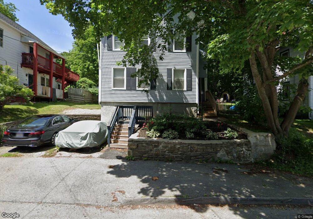
10 Oswald St Worcester, MA 01607
North Quinsigamond Village NeighborhoodEstimated Value: $408,000 - $550,000
About This Home
Heat included! Ready for Immediate Move-In! Newly-Renovated Unit, Fresh Paint + New Finishes. Renovated Bathroom. Laundry In-unit! One bedroom PLUS office. Closet system. Big Backyard. Dead end street. Quiet neighbors and neighborhood. Parking (one off street).
REQUIREMENTS: No Smoking No Pets. 1 Year Lease First Month’s Rent ($1,700) + Last Month’s Rent ($1,700) + Security Deposit ($1,000) Required For Move-In ($4,400 Total) Tenants’ Combined Monthly Income (Before Tax) Must Be 3X Rent or Higher Must Pass Credit, Criminal, SSN, and Eviction History Background Check Credit Score Must Be 700 or Above to Qualify.
Water, Sewage, Landscaping and Snow Removal Included in Rent. Tenant is required to pay for Electric and Other Personal Utilities.
Ownership History
Purchase Details
Home Financials for this Owner
Home Financials are based on the most recent Mortgage that was taken out on this home.Purchase Details
Purchase Details
Purchase Details
Purchase Details
Purchase Details
Home Values in the Area
Average Home Value in this Area
Purchase History
| Date | Buyer | Sale Price | Title Company |
|---|---|---|---|
| Pitts Seth A | $195,000 | -- | |
| Andrade Robert A | $76,000 | -- | |
| Fhlmc | $119,280 | -- | |
| Patterson Richard | $68,000 | -- | |
| Moosehill Corp | $24,500 | -- | |
| Citicorp Mtg Inc | $55,860 | -- |
Mortgage History
| Date | Status | Borrower | Loan Amount |
|---|---|---|---|
| Open | Pitts Seth A | $185,250 | |
| Previous Owner | Citicorp Mtg Inc | $94,600 | |
| Previous Owner | Citicorp Mtg Inc | $75,001 |
Property History
| Date | Event | Price | List to Sale | Price per Sq Ft |
|---|---|---|---|---|
| 01/28/2025 01/28/25 | Off Market | -- | -- | -- |
| 01/01/2025 01/01/25 | For Rent | -- | -- | -- |
Tax History
| Year | Tax Paid | Tax Assessment Tax Assessment Total Assessment is a certain percentage of the fair market value that is determined by local assessors to be the total taxable value of land and additions on the property. | Land | Improvement |
|---|---|---|---|---|
| 2025 | $5,358 | $406,200 | $108,100 | $298,100 |
| 2024 | $5,155 | $374,900 | $108,100 | $266,800 |
| 2023 | $4,810 | $335,400 | $93,900 | $241,500 |
| 2022 | $4,613 | $303,300 | $75,100 | $228,200 |
| 2021 | $4,013 | $246,500 | $60,100 | $186,400 |
| 2020 | $3,783 | $222,500 | $60,100 | $162,400 |
| 2019 | $3,888 | $216,000 | $54,100 | $161,900 |
| 2018 | $3,816 | $201,800 | $54,100 | $147,700 |
| 2017 | $3,585 | $186,500 | $54,100 | $132,400 |
| 2016 | $3,514 | $170,500 | $41,000 | $129,500 |
| 2015 | $3,422 | $170,500 | $41,000 | $129,500 |
| 2014 | $3,332 | $170,500 | $41,000 | $129,500 |
Map
- 10 Oswald St
- 10 Oswald St Unit Large One-Bedroom Heat Included
- 10 Oswald St Unit 1
- 12 Oswald St
- 8 Oswald St
- 6 Oswald St
- 6 Oswald St Unit 1
- 9 Oswald St
- 7 Oswald St
- 10 Henry Terrace Unit 1
- 10 Henry Terrace Unit 11
- 10 Henry Terrace
- 5 Oswald St
- 4 Oswald St
- 4 Arline St
- 2 Arline St
- 6 Arline St
- 20 Thenius St
- 3 Oswald St
- 16 Thenius St
Ask me questions while you tour the home.