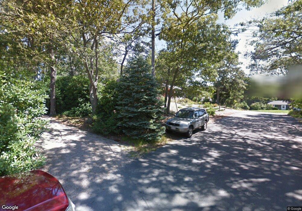
10 Paddock Dr Harwich, MA 02645
Harwich Center NeighborhoodEstimated Value: $549,060 - $663,000
2
Beds
1
Bath
1,000
Sq Ft
$596/Sq Ft
Est. Value
About This Home
This home is located at 10 Paddock Dr, Harwich, MA 02645 and is currently estimated at $596,265, approximately $596 per square foot. 10 Paddock Dr is a home located in Barnstable County with nearby schools including Harwich Elementary School, Chatham Elementary School, and Monomoy Regional Middle School.
Ownership History
Date
Name
Owned For
Owner Type
Purchase Details
Closed on
Oct 30, 2008
Sold by
Anderson Robert H
Bought by
Goldsmith Victoria A
Current Estimated Value
Home Financials for this Owner
Home Financials are based on the most recent Mortgage that was taken out on this home.
Original Mortgage
$130,000
Outstanding Balance
$84,274
Interest Rate
5.83%
Mortgage Type
Purchase Money Mortgage
Estimated Equity
$511,991
Purchase Details
Closed on
Mar 14, 1997
Sold by
Coleman Antonette M
Bought by
Anderson Robert H
Home Financials for this Owner
Home Financials are based on the most recent Mortgage that was taken out on this home.
Original Mortgage
$101,650
Interest Rate
7.79%
Mortgage Type
Purchase Money Mortgage
Create a Home Valuation Report for This Property
The Home Valuation Report is an in-depth analysis detailing your home's value as well as a comparison with similar homes in the area
Home Values in the Area
Average Home Value in this Area
Purchase History
| Date | Buyer | Sale Price | Title Company |
|---|---|---|---|
| Goldsmith Victoria A | $273,000 | -- | |
| Anderson Robert H | $107,000 | -- |
Source: Public Records
Mortgage History
| Date | Status | Borrower | Loan Amount |
|---|---|---|---|
| Open | Anderson Robert H | $86,000 | |
| Open | Goldsmith Victoria A | $130,000 | |
| Previous Owner | Anderson Robert H | $33,000 | |
| Previous Owner | Anderson Robert H | $138,400 | |
| Previous Owner | Anderson Robert H | $101,650 |
Source: Public Records
Tax History
| Year | Tax Paid | Tax Assessment Tax Assessment Total Assessment is a certain percentage of the fair market value that is determined by local assessors to be the total taxable value of land and additions on the property. | Land | Improvement |
|---|---|---|---|---|
| 2025 | $2,928 | $495,500 | $199,900 | $295,600 |
| 2024 | $2,842 | $471,300 | $188,600 | $282,700 |
| 2023 | $2,753 | $414,600 | $171,400 | $243,200 |
| 2022 | $2,730 | $336,600 | $149,100 | $187,500 |
| 2021 | $2,571 | $298,900 | $135,500 | $163,400 |
| 2020 | $2,531 | $289,900 | $132,700 | $157,200 |
| 2019 | $2,387 | $275,300 | $126,900 | $148,400 |
| 2018 | $2,397 | $264,400 | $115,300 | $149,100 |
| 2017 | $2,211 | $246,500 | $105,100 | $141,400 |
| 2016 | $2,166 | $238,800 | $105,100 | $133,700 |
| 2015 | $2,103 | $234,400 | $103,000 | $131,400 |
| 2014 | $2,014 | $229,600 | $99,900 | $129,700 |
Source: Public Records
Map
Nearby Homes
- 106 Chatham Rd
- 21 Princes St
- 820 Massachusetts 28
- 44 Beriah Brooks Rd
- 27 Quaker Ln
- 6 Marthas Ln
- 9 Jason Ln
- 666 Main St
- 16 Turtle Run
- 159 Pleasant Lake Ave
- 135 Sisson Rd
- 515 Route 28
- 515 Massachusetts 28
- 35 Wendys Way
- 10 Lakeside Terrace
- 7 Sandy Ln
- 0 Tirrells Way
- 299 Depot Rd
- 2550 Main St
- 2548 Main St