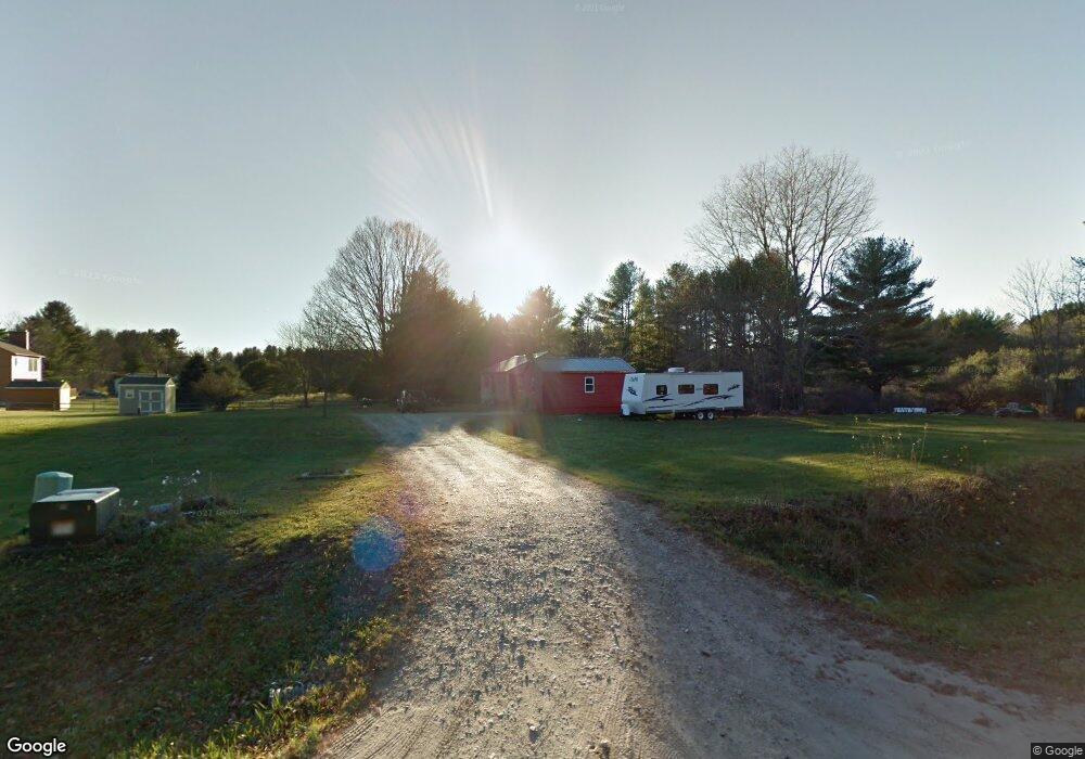
10 Pams Way Gorham, ME 04038
Estimated Value: $594,000 - $874,000
2
Beds
1
Bath
3,523
Sq Ft
$218/Sq Ft
Est. Value
About This Home
This home is located at 10 Pams Way, Gorham, ME 04038 and is currently estimated at $766,660, approximately $217 per square foot. 10 Pams Way is a home located in Cumberland County with nearby schools including Village Elementary School, Gorham Middle School, and Gorham High School.
Create a Home Valuation Report for This Property
The Home Valuation Report is an in-depth analysis detailing your home's value as well as a comparison with similar homes in the area
Home Values in the Area
Average Home Value in this Area
Tax History
| Year | Tax Paid | Tax Assessment Tax Assessment Total Assessment is a certain percentage of the fair market value that is determined by local assessors to be the total taxable value of land and additions on the property. | Land | Improvement |
|---|---|---|---|---|
| 2024 | $9,348 | $635,900 | $73,200 | $562,700 |
| 2023 | $6,324 | $459,900 | $73,200 | $386,700 |
| 2022 | $3,153 | $245,400 | $73,200 | $172,200 |
| 2021 | $2,528 | $130,300 | $54,200 | $76,100 |
| 2020 | $2,476 | $130,300 | $54,200 | $76,100 |
| 2019 | $2,469 | $130,300 | $54,200 | $76,100 |
| 2018 | $2,371 | $130,300 | $54,200 | $76,100 |
| 2017 | $2,228 | $130,300 | $54,200 | $76,100 |
| 2016 | $2,215 | $130,300 | $54,200 | $76,100 |
| 2015 | $2,124 | $130,300 | $54,200 | $76,100 |
| 2014 | $2,048 | $117,700 | $49,800 | $67,900 |
| 2013 | $2,036 | $117,700 | $49,800 | $67,900 |
Source: Public Records
Map
Nearby Homes
- 116 Dingley Spring Rd
- 4 Musket Dr
- 42 Brandons Way
- 866 Parker Farm Lot B Rd
- 866 Parker Farm Lot A Rd
- 866 Parker Farm Rd Unit A
- 866 Parker Farm Rd Unit B
- 35 Rust Rd
- 696 Fort Hill Rd
- 63 Ossipee Trail E
- 66 Ossipee Trail East Trail E
- 27 Ossipee Trail E Unit 1
- 68 Woodbrey Ln
- 1 Cortland Place Unit 7
- LOT #34 Woodbrey Ln
- 761 Fort Hill Rd
- 29 Woodbrey Ln
- 1 Macie Dr Unit 84
- LOT #65 Eastern Ln
- 31 Woodbrey Ln
Your Personal Tour Guide
Ask me questions while you tour the home.