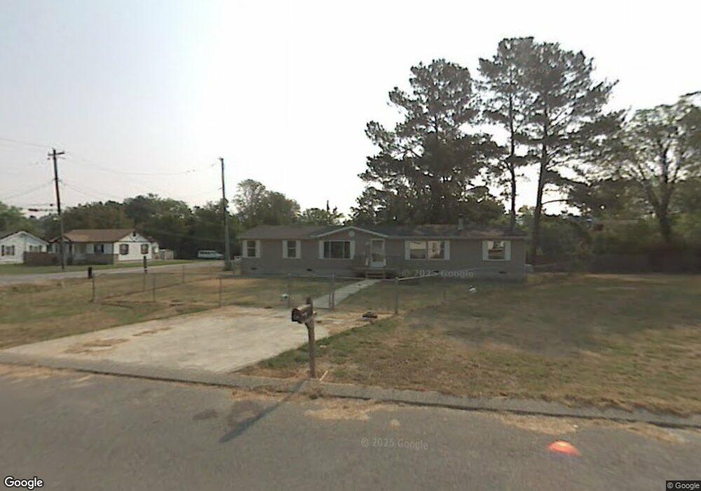
10 Pat Webb Cir Rossville, GA 30741
Estimated Value: $33,000 - $189,000
3
Beds
2
Baths
2,044
Sq Ft
$64/Sq Ft
Est. Value
About This Home
This home is located at 10 Pat Webb Cir, Rossville, GA 30741 and is currently estimated at $130,817, approximately $64 per square foot. 10 Pat Webb Cir is a home located in Walker County with nearby schools including Stone Creek Elementary School, Rossville Middle School, and Ridgeland High School.
Ownership History
Date
Name
Owned For
Owner Type
Purchase Details
Closed on
May 15, 2017
Sold by
Adams Barbara A
Bought by
Adams Edmonds Pamela
Current Estimated Value
Purchase Details
Closed on
Apr 19, 2005
Sold by
Not Provided
Bought by
Adams Barbara A
Purchase Details
Closed on
Jul 23, 2003
Sold by
Ridgeland Estates Llc
Bought by
Pioneer Financial Services Inc
Purchase Details
Closed on
Jun 6, 2003
Sold by
A-1 Mobile Homes Inc
Bought by
Adams Barbara A
Purchase Details
Closed on
Sep 21, 1999
Bought by
Ridgeland Estates Llc
Create a Home Valuation Report for This Property
The Home Valuation Report is an in-depth analysis detailing your home's value as well as a comparison with similar homes in the area
Home Values in the Area
Average Home Value in this Area
Purchase History
| Date | Buyer | Sale Price | Title Company |
|---|---|---|---|
| Adams Edmonds Pamela | -- | -- | |
| Adams Barbara A | -- | -- | |
| Pioneer Financial Services Inc | -- | -- | |
| Adams Barbara A | -- | -- | |
| Ridgeland Estates Llc | -- | -- |
Source: Public Records
Tax History Compared to Growth
Tax History
| Year | Tax Paid | Tax Assessment Tax Assessment Total Assessment is a certain percentage of the fair market value that is determined by local assessors to be the total taxable value of land and additions on the property. | Land | Improvement |
|---|---|---|---|---|
| 2024 | $97 | $4,800 | $4,800 | $0 |
| 2023 | $99 | $4,800 | $4,800 | $0 |
| 2022 | $279 | $12,000 | $12,000 | $0 |
| 2021 | $123 | $4,800 | $4,800 | $0 |
| 2020 | $128 | $4,800 | $4,800 | $0 |
| 2019 | $131 | $4,800 | $4,800 | $0 |
| 2018 | $127 | $4,800 | $4,800 | $0 |
| 2017 | $144 | $4,800 | $4,800 | $0 |
| 2016 | $117 | $4,800 | $4,800 | $0 |
| 2015 | $125 | $4,800 | $4,800 | $0 |
| 2014 | $121 | $4,800 | $4,800 | $0 |
| 2013 | -- | $4,800 | $4,800 | $0 |
Source: Public Records
Map
Nearby Homes
- 211 Pat Webb Cir
- 732 Salem Rd
- 724 Shelly Ln
- 610 Union Ave
- 275 Quarter St
- 58 Quarter St
- 52 Quarter St
- 44 Quarter St
- 33 Quarter St
- 27 Quarter St
- 19 Quarter St
- Penwell Plan at Hawk's Ridge
- Hanover Plan at Hawk's Ridge
- Edmon Plan at Hawk's Ridge
- Cali Plan at Hawk's Ridge
- Salem Plan at Hawk's Ridge
- Robie Plan at Hawk's Ridge
- Darwin Plan at Hawk's Ridge
- Aisle Plan at Hawk's Ridge
- Belhaven Plan at Hawk's Ridge
- 242 Pat Webb Cir
- 00 Pat Webb Cir
- 0 Pat Webb Cir
- 230 Pat Webb Cir
- 709 Salem Rd
- 333 Pat Webb Cir
- 16 Pat Webb Cir
- 216 Pat Webb Cir
- 1543 Myrt St
- 1544 Myrt St
- 205 Pat Webb Cir
- 202 Pat Webb Cir
- 1541 Myrt St
- 1542 Myrt St
- 58 Pat Webb Cir
- 707 Salem Rd
- 716 Salem Rd
- 190 Pat Webb Cir
- 1539 Myrt St Unit 26
- 706 Salem Rd