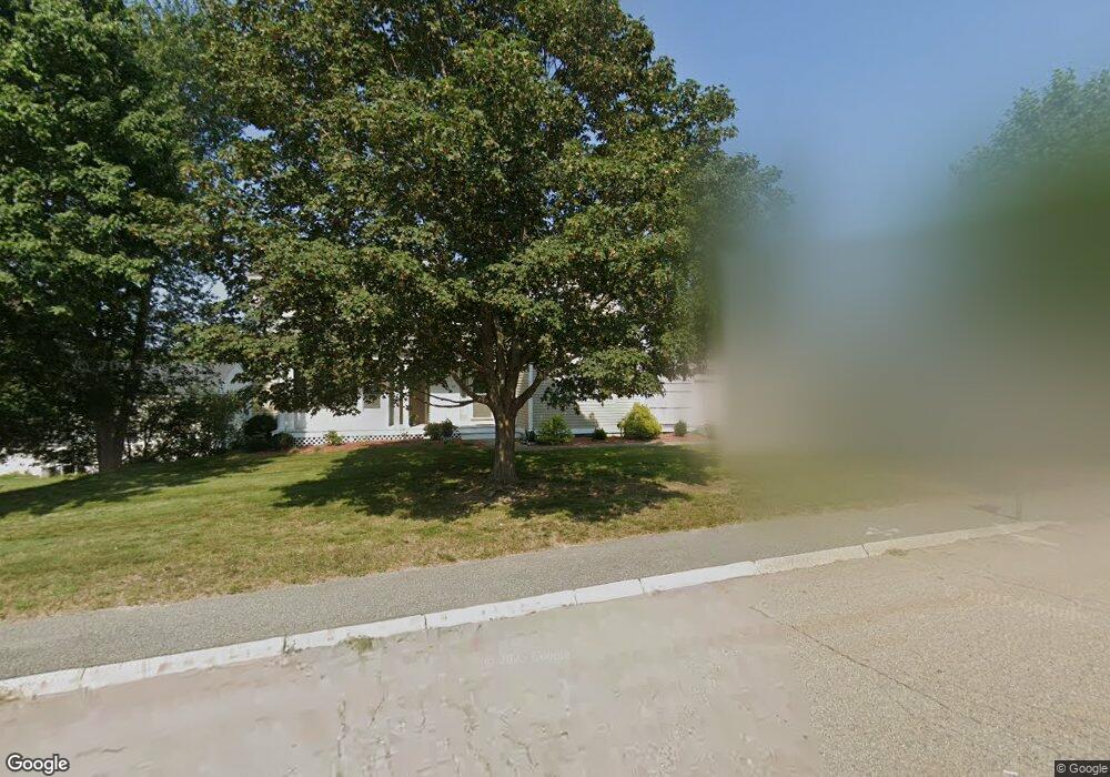
10 Pear Tree Dr Canton, MA 02021
Estimated Value: $894,082 - $986,000
3
Beds
3
Baths
1,964
Sq Ft
$477/Sq Ft
Est. Value
About This Home
This home is located at 10 Pear Tree Dr, Canton, MA 02021 and is currently estimated at $936,271, approximately $476 per square foot. 10 Pear Tree Dr is a home located in Norfolk County with nearby schools including Canton High School and St. John the Evangelist School.
Ownership History
Date
Name
Owned For
Owner Type
Purchase Details
Closed on
Apr 28, 2015
Sold by
Long James E and Connolly Steven G
Bought by
Long James E and Connolly Steven G
Current Estimated Value
Purchase Details
Closed on
Jul 8, 2004
Sold by
Long Rt A
Bought by
Long James E and Connolly Steven G
Purchase Details
Closed on
Mar 13, 1995
Sold by
Chai Wie and Chai Sun D
Bought by
Long James E
Home Financials for this Owner
Home Financials are based on the most recent Mortgage that was taken out on this home.
Original Mortgage
$155,000
Interest Rate
9.09%
Mortgage Type
Purchase Money Mortgage
Purchase Details
Closed on
Sep 28, 1988
Sold by
U S Dev Canton Tr
Bought by
Chai Wie
Create a Home Valuation Report for This Property
The Home Valuation Report is an in-depth analysis detailing your home's value as well as a comparison with similar homes in the area
Home Values in the Area
Average Home Value in this Area
Purchase History
| Date | Buyer | Sale Price | Title Company |
|---|---|---|---|
| Long James E | -- | -- | |
| Long James E | -- | -- | |
| Long James E | $242,500 | -- | |
| Chai Wie | $240,000 | -- |
Source: Public Records
Mortgage History
| Date | Status | Borrower | Loan Amount |
|---|---|---|---|
| Previous Owner | Chai Wie | $26,000 | |
| Previous Owner | Chai Wie | $155,000 | |
| Previous Owner | Chai Wie | $125,000 | |
| Previous Owner | Chai Wie | $125,000 |
Source: Public Records
Tax History
| Year | Tax Paid | Tax Assessment Tax Assessment Total Assessment is a certain percentage of the fair market value that is determined by local assessors to be the total taxable value of land and additions on the property. | Land | Improvement |
|---|---|---|---|---|
| 2025 | $7,973 | $806,200 | $323,400 | $482,800 |
| 2024 | $8,015 | $803,900 | $339,300 | $464,600 |
| 2023 | $7,815 | $739,400 | $339,300 | $400,100 |
| 2022 | $7,805 | $687,700 | $323,100 | $364,600 |
| 2021 | $7,599 | $622,900 | $293,700 | $329,200 |
| 2020 | $7,311 | $597,800 | $279,800 | $318,000 |
| 2019 | $7,166 | $577,900 | $254,300 | $323,600 |
| 2018 | $6,906 | $556,000 | $244,500 | $311,500 |
| 2017 | $7,027 | $549,400 | $239,700 | $309,700 |
| 2016 | $6,859 | $536,300 | $233,900 | $302,400 |
| 2015 | -- | $518,400 | $227,100 | $291,300 |
Source: Public Records
Map
Nearby Homes
- 399 Neponset St Unit 106
- 399 Neponset St Unit 408
- 399 Neponset St Unit 411
- 399 Neponset St Unit 309
- 399 Neponset St Unit 103
- 399 Neponset St Unit 105
- 399 Neponset St Unit 405
- 399 Neponset St Unit 301
- 399 Neponset St Unit 310
- 399 Neponset St Unit 206
- 399 Neponset St Unit 202
- 399 Neponset St Unit 211
- 399 Neponset St Unit 209
- 399 Neponset St Unit 412
- 360 Neponset St Unit 702
- 9 Evergreen Cir
- 354 Neponset St Unit M
- 346 Neponset St Unit F
- 30 Coppersmith Way Unit 209
- 30 Coppersmith Way Unit 313
- 5 Apple Blossom Way
- 9 Apple Blossom Way
- 14 Pear Tree Dr
- 6 Pear Tree Dr
- 6 Pear Tree Dr Unit 6
- 6 Pear Tree Dr
- 15 Pear Tree Dr
- 15 Apple Blossom Way
- 5 Pear Tree Dr
- 18 Pear Tree Dr
- 23 Pear Tree Dr
- 7 Mulberry Ln
- 2 Pear Tree Dr
- 1 Apple Blossom Way
- 19 Apple Blossom Way
- 15 Mulberry Ln
- 1 Pear Tree Dr
- 9 Mulberry Ln
- 27 Pear Tree Dr
- 14 Apple Blossom Way
Your Personal Tour Guide
Ask me questions while you tour the home.