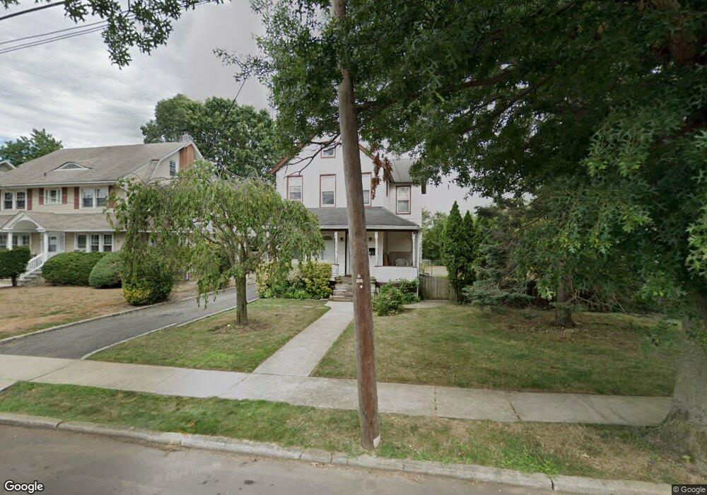
10 Pearsall Ave Lynbrook, NY 11563
Estimated Value: $773,185 - $859,000
--
Bed
3
Baths
1,884
Sq Ft
$433/Sq Ft
Est. Value
About This Home
This home is located at 10 Pearsall Ave, Lynbrook, NY 11563 and is currently estimated at $816,093, approximately $433 per square foot. 10 Pearsall Ave is a home located in Nassau County with nearby schools including Davison Avenue Intermediate School, Maurice W. Downing Primary K-2 School, and Howard T Herber Middle School.
Ownership History
Date
Name
Owned For
Owner Type
Purchase Details
Closed on
Sep 29, 2004
Sold by
Paradise Lillian
Bought by
Butler Leonard
Current Estimated Value
Purchase Details
Closed on
Jul 17, 2001
Sold by
Lombardi Emily
Bought by
Daquino Lillian
Purchase Details
Closed on
Apr 8, 2001
Purchase Details
Closed on
Dec 19, 2000
Purchase Details
Closed on
Nov 11, 2000
Create a Home Valuation Report for This Property
The Home Valuation Report is an in-depth analysis detailing your home's value as well as a comparison with similar homes in the area
Home Values in the Area
Average Home Value in this Area
Purchase History
| Date | Buyer | Sale Price | Title Company |
|---|---|---|---|
| Butler Leonard | $484,500 | -- | |
| Butler Leonard | $484,500 | -- | |
| Daquino Lillian | $335,000 | David Fainkich | |
| Daquino Lillian | $335,000 | David Fainkich | |
| -- | -- | -- | |
| -- | -- | -- | |
| -- | -- | -- | |
| -- | -- | -- | |
| -- | -- | -- | |
| -- | -- | -- |
Source: Public Records
Tax History Compared to Growth
Tax History
| Year | Tax Paid | Tax Assessment Tax Assessment Total Assessment is a certain percentage of the fair market value that is determined by local assessors to be the total taxable value of land and additions on the property. | Land | Improvement |
|---|---|---|---|---|
| 2025 | $12,109 | $556 | $291 | $265 |
| 2024 | $1,281 | $556 | $291 | $265 |
| 2023 | $12,664 | $556 | $291 | $265 |
| 2022 | $12,664 | $555 | $291 | $264 |
| 2021 | $19,591 | $524 | $274 | $250 |
| 2020 | $14,465 | $1,024 | $591 | $433 |
| 2019 | $15,262 | $1,024 | $591 | $433 |
| 2018 | $14,267 | $1,024 | $0 | $0 |
| 2017 | $11,442 | $1,024 | $591 | $433 |
| 2016 | $12,922 | $1,024 | $591 | $433 |
| 2015 | $1,520 | $1,024 | $591 | $433 |
| 2014 | $1,520 | $1,024 | $591 | $433 |
| 2013 | $1,395 | $1,024 | $591 | $433 |
Source: Public Records
Map
Nearby Homes
- 127 Hempstead Ave
- 75 Noble St Unit 219
- 75 Noble St Unit 126
- 92 Walnut St
- 60 Hempstead Ave Unit 1K
- 60 Hempstead Ave Unit 1H
- 60 Hempstead Ave Unit 1O
- 60 Hempstead Ave Unit 1J
- 40 Daley Place Unit 124
- 266 Earle Ave
- 29 Summit Ave
- 30 Daley Place Unit 247
- 20 Daley Place Unit 104
- 20 Daley Place Unit 225
- 20 Daley Place Unit 127
- 318 Vincent Ave
- 57 Nieman Ave
- 291 Denton Ave
- 2 Fowler Ave Unit 206
- 2 Fowler Ave Unit 228
- 2 Pearsall Ave
- 1 Walnut St
- 121 Walnut St
- 20 Pearsall Ave
- 20 Pearsall Ave Unit lower
- 121 Hempstead Ave
- 109 Hempstead Ave
- 123 Hempstead Ave
- 123 Hempstead Ave Unit 2nd Fl
- 123 Hempstead Ave Unit 1st Fl
- 24 Pearsall Ave
- 5 Pearsall Ave
- 9 Pearsall Ave
- 130 Walnut St
- 155 Walnut St
- 126 Walnut St Unit A
- 134 Walnut St
- 17 Pearsall Ave
- 107 Hempstead Ave
- 13 Pearsall Ave