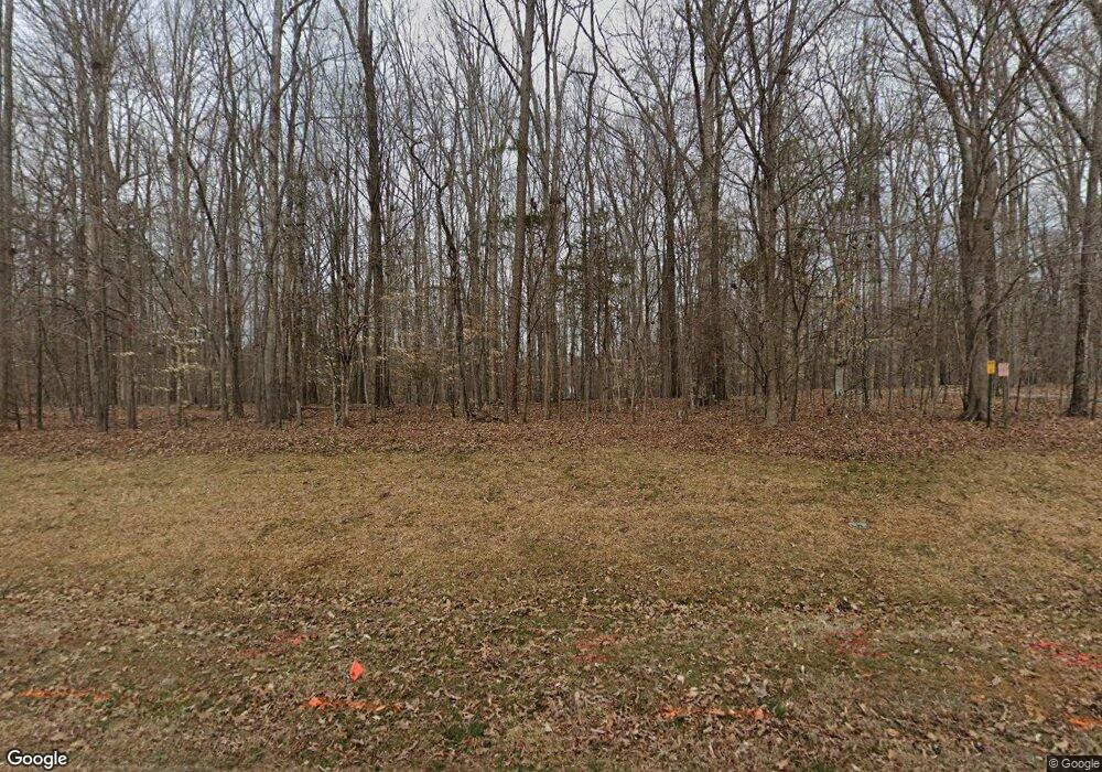
10 Pearse Wynd Rd Bahama, NC 27503
Estimated Value: $1,059,444 - $1,097,000
4
Beds
4
Baths
4,716
Sq Ft
$227/Sq Ft
Est. Value
About This Home
This home is located at 10 Pearse Wynd Rd, Bahama, NC 27503 and is currently estimated at $1,071,861, approximately $227 per square foot. 10 Pearse Wynd Rd is a home located in Durham County with nearby schools including Mangum Elementary School, Lucas Middle School, and Northern High School.
Ownership History
Date
Name
Owned For
Owner Type
Purchase Details
Closed on
Aug 28, 2020
Sold by
Li Jennifer Shiun Roh and Li Jennifer Shiun
Bought by
Carroll Darcey L and Carroll Eadie M
Current Estimated Value
Home Financials for this Owner
Home Financials are based on the most recent Mortgage that was taken out on this home.
Original Mortgage
$500,000
Outstanding Balance
$443,717
Interest Rate
2.9%
Mortgage Type
New Conventional
Estimated Equity
$628,144
Purchase Details
Closed on
Dec 18, 2015
Sold by
Corey Gordon Ralph
Bought by
Corey Jennifer Li and Li Jennifer
Create a Home Valuation Report for This Property
The Home Valuation Report is an in-depth analysis detailing your home's value as well as a comparison with similar homes in the area
Home Values in the Area
Average Home Value in this Area
Purchase History
| Date | Buyer | Sale Price | Title Company |
|---|---|---|---|
| Carroll Darcey L | $675,000 | None Available | |
| Corey Jennifer Li | -- | Attorney |
Source: Public Records
Mortgage History
| Date | Status | Borrower | Loan Amount |
|---|---|---|---|
| Open | Carroll Darcey L | $500,000 |
Source: Public Records
Tax History Compared to Growth
Tax History
| Year | Tax Paid | Tax Assessment Tax Assessment Total Assessment is a certain percentage of the fair market value that is determined by local assessors to be the total taxable value of land and additions on the property. | Land | Improvement |
|---|---|---|---|---|
| 2025 | $7,031 | $1,036,219 | $205,217 | $831,002 |
| 2024 | $5,630 | $590,615 | $159,789 | $430,826 |
| 2023 | $5,323 | $590,615 | $159,789 | $430,826 |
| 2022 | $5,109 | $590,615 | $159,789 | $430,826 |
| 2021 | $4,848 | $590,615 | $159,789 | $430,826 |
| 2020 | $4,789 | $590,615 | $159,789 | $430,826 |
| 2019 | $4,789 | $590,615 | $159,789 | $430,826 |
| 2018 | $5,007 | $571,239 | $129,070 | $442,169 |
| 2017 | $4,950 | $571,239 | $129,070 | $442,169 |
| 2016 | $4,793 | $571,239 | $129,070 | $442,169 |
| 2015 | $5,805 | $635,357 | $106,857 | $528,500 |
| 2014 | -- | $635,357 | $106,857 | $528,500 |
Source: Public Records
Map
Nearby Homes
- 921 Matthew Ln
- 0 Matthew Ln
- 8313 Polaris Dr
- 9625 S Lowell Rd
- 8200 Bromley Rd
- 2411 Darby Ln Unit 27278
- 8636 Johnson Mill Rd
- 2315 Lansdale Rd Unit 27278
- 107 Crescent Hill Ln
- 0 Little River Dr Unit 10119715
- 2210 Harris Rd
- 7610 Buckhorn Rd
- 4811 New Sharon Church Rd
- 7433 Guess Rd
- 7421 Guess Rd
- 7415 Guess Rd
- 7409 Guess Rd
- 7711 Quail Hollow Dr
- 8635 Johnson Mill Rd
- 7122 Guess Rd
- 12 Pearse Wynd Rd
- 2233 Becky Dr
- 8 Pearse Wynd Rd
- 13 Pearse Wynd Rd
- 2225 Becky Dr
- 6 Pearse Wynd Rd
- 2234 Becky Dr
- 9 Pearse Wynd Rd
- 11 Pearse Wynd Rd
- 2221 Becky Dr
- 5 Pearse Wynd Rd
- 4 Pearse Wynd Rd
- 2117 Becky Dr
- 9123 S Lowell Rd
- 2208 Becky Dr
- 2120 Becky Dr
- 8803 Millers Bend
- 9501 Rougemont Rd
- 2231 Becky Dr
- 9611 Rougemont Rd
