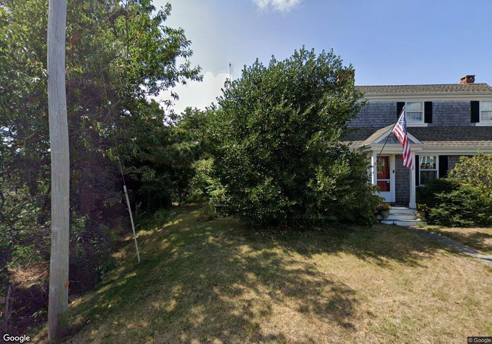
10 Pelham Ln Dennis Port, MA 2639
Dennis Port NeighborhoodEstimated Value: $1,073,000 - $1,608,000
4
Beds
2
Baths
2,002
Sq Ft
$656/Sq Ft
Est. Value
About This Home
This home is located at 10 Pelham Ln, Dennis Port, MA 2639 and is currently estimated at $1,312,458, approximately $655 per square foot. 10 Pelham Ln is a home located in Barnstable County with nearby schools including Dennis-Yarmouth Regional High School and St. Pius X. School.
Ownership History
Date
Name
Owned For
Owner Type
Purchase Details
Closed on
Nov 2, 2007
Sold by
Holiver John J and Holiver Patricia D
Bought by
Snyder Donald J and Snyder Theresa H
Current Estimated Value
Home Financials for this Owner
Home Financials are based on the most recent Mortgage that was taken out on this home.
Original Mortgage
$600,000
Outstanding Balance
$380,604
Interest Rate
6.43%
Mortgage Type
Purchase Money Mortgage
Estimated Equity
$931,854
Purchase Details
Closed on
Mar 31, 2006
Sold by
Watson David A and Watson Deborah F
Bought by
Holiver John J and Holiver Patricia D
Home Financials for this Owner
Home Financials are based on the most recent Mortgage that was taken out on this home.
Original Mortgage
$560,000
Interest Rate
6.32%
Mortgage Type
Purchase Money Mortgage
Purchase Details
Closed on
Jul 16, 1996
Sold by
Blake Gerald E
Bought by
Watson Deborah F
Home Financials for this Owner
Home Financials are based on the most recent Mortgage that was taken out on this home.
Original Mortgage
$184,000
Interest Rate
7.98%
Mortgage Type
Purchase Money Mortgage
Create a Home Valuation Report for This Property
The Home Valuation Report is an in-depth analysis detailing your home's value as well as a comparison with similar homes in the area
Home Values in the Area
Average Home Value in this Area
Purchase History
| Date | Buyer | Sale Price | Title Company |
|---|---|---|---|
| Snyder Donald J | $750,000 | -- | |
| Holiver John J | $700,000 | -- | |
| Watson Deborah F | $230,000 | -- |
Source: Public Records
Mortgage History
| Date | Status | Borrower | Loan Amount |
|---|---|---|---|
| Open | Snyder Donald J | $600,000 | |
| Previous Owner | Holiver John J | $560,000 | |
| Previous Owner | Watson Deborah F | $184,000 |
Source: Public Records
Tax History Compared to Growth
Tax History
| Year | Tax Paid | Tax Assessment Tax Assessment Total Assessment is a certain percentage of the fair market value that is determined by local assessors to be the total taxable value of land and additions on the property. | Land | Improvement |
|---|---|---|---|---|
| 2025 | $4,718 | $1,089,600 | $509,900 | $579,700 |
| 2024 | $4,588 | $1,045,000 | $490,300 | $554,700 |
| 2023 | $4,229 | $905,600 | $401,200 | $504,400 |
| 2022 | $4,128 | $737,200 | $361,400 | $375,800 |
| 2021 | $4,096 | $679,300 | $354,300 | $325,000 |
| 2020 | $4,030 | $660,600 | $354,300 | $306,300 |
| 2019 | $3,828 | $620,500 | $347,400 | $273,100 |
| 2018 | $3,772 | $595,000 | $330,700 | $264,300 |
| 2017 | $3,659 | $595,000 | $330,700 | $264,300 |
| 2016 | $3,942 | $603,700 | $377,900 | $225,800 |
| 2015 | $3,864 | $603,700 | $377,900 | $225,800 |
| 2014 | $3,788 | $596,600 | $377,900 | $218,700 |
Source: Public Records
Map
Nearby Homes
- 37-A Beach Hills Rd
- 281 Old Wharf Rd
- 37 Beach Hills Rd
- 262 Old Wharf Rd Unit 27
- 262 Old Wharf Rd Unit 18
- 262 Old Wharf Rd Unit 67
- 262 Old Wharf Rd Unit 20
- 402 Old Wharf Rd
- 402 Old Wharf Rd
- 251 Old Wharf Rd Unit 109
- 7 Ferncliff Rd
- 241 Old Wharf Rd Unit 90
- 241 Old Wharf Rd Unit 88
- 218 Old Wharf (218 Sand Spit) Rd
- 9 Chase Ave Unit 6
- 217 Old Wharf Rd Unit 21 Bishops
- 217 Old Wharf Rd Unit 64
- 218 Old Wharf Rd Unit 218
- 226 Old Wharf Rd
- 11 Ocean Park W
- 10 Pelham Ln
- 6 Pelham Ln
- 15 Flakeyard Rd
- 15 Flakeyard Rd
- 17 Flakeyard Rd
- 17 Pelham Dr
- 9 Pelham Ln
- 9 Pelham Ln
- 14 Flakeyard Rd
- 9 Flakeyard Rd
- 2 Pelham Ln
- 327 Old Wharf Rd
- 331 Old Wharf Rd
- 14 Flakeyard Rd
- 0 Sea & Pelham St Unit 41
- 18 Pelham Ln
- 10 Flakeyard Rd
- 24 Sea St
- 331 Old Wharf Rd
- 15 Union Wharf Rd