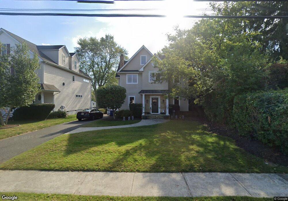
10 Pemberton Ave Oceanport, NJ 07757
Estimated Value: $868,000 - $967,000
2
Beds
2
Baths
2,221
Sq Ft
$412/Sq Ft
Est. Value
About This Home
This home is located at 10 Pemberton Ave, Oceanport, NJ 07757 and is currently estimated at $915,309, approximately $412 per square foot. 10 Pemberton Ave is a home located in Monmouth County with nearby schools including Wolf Hill Elementary School, Maple Place Elementary and Middle School, and Shore Regional High School.
Ownership History
Date
Name
Owned For
Owner Type
Purchase Details
Closed on
Jul 6, 2007
Sold by
Mccullough George R
Bought by
Martelli Salvatore M
Current Estimated Value
Home Financials for this Owner
Home Financials are based on the most recent Mortgage that was taken out on this home.
Original Mortgage
$230,000
Outstanding Balance
$142,932
Interest Rate
6.48%
Mortgage Type
Purchase Money Mortgage
Estimated Equity
$772,377
Create a Home Valuation Report for This Property
The Home Valuation Report is an in-depth analysis detailing your home's value as well as a comparison with similar homes in the area
Home Values in the Area
Average Home Value in this Area
Purchase History
| Date | Buyer | Sale Price | Title Company |
|---|---|---|---|
| Martelli Salvatore M | $400,000 | None Available |
Source: Public Records
Mortgage History
| Date | Status | Borrower | Loan Amount |
|---|---|---|---|
| Open | Martelli Salvatore M | $230,000 |
Source: Public Records
Tax History Compared to Growth
Tax History
| Year | Tax Paid | Tax Assessment Tax Assessment Total Assessment is a certain percentage of the fair market value that is determined by local assessors to be the total taxable value of land and additions on the property. | Land | Improvement |
|---|---|---|---|---|
| 2025 | $11,102 | $767,800 | $429,500 | $338,300 |
| 2024 | $10,931 | $703,100 | $379,500 | $323,600 |
| 2023 | $10,931 | $656,900 | $349,500 | $307,400 |
| 2022 | $11,276 | $610,200 | $339,500 | $270,700 |
| 2021 | $11,276 | $591,900 | $334,500 | $257,400 |
| 2020 | $10,648 | $582,500 | $329,500 | $253,000 |
| 2019 | $10,242 | $568,700 | $324,500 | $244,200 |
| 2018 | $10,120 | $565,700 | $324,500 | $241,200 |
| 2017 | $7,977 | $369,800 | $206,800 | $163,000 |
| 2016 | $7,858 | $366,700 | $206,800 | $159,900 |
| 2015 | $7,520 | $362,600 | $206,800 | $155,800 |
| 2014 | $7,569 | $370,100 | $231,800 | $138,300 |
Source: Public Records
Map
Nearby Homes
- 5 Main St
- 16 Haskell Way
- 57 Bridgewaters Dr Unit 21
- 14 Oceanport Ave
- 10 Asbury Ave
- 32 Villa Place
- 3 Foggia Way
- 1 Foggia Way
- 41 Edgewood Ave
- 335 Broad St
- 82 Sunnybank Dr
- 35 Sunnybank Dr
- 8 Hialeah
- 351 Meadowbrook Ave
- 13 Morris Place
- 11 Clay St
- 15 Chestnut Place
- 7 Linden Ave
- 238 Branchport Ave
- 572 Jay St
- 8 Pemberton Ave
- 14 Pemberton Ave
- 13 Pemberton Ave
- 15 Pemberton Ave
- 9 Pemberton Ave
- 20 Pemberton Ave
- 19 Pemberton Ave
- 328 E Main St Unit B
- 326 E Main St
- 22 Pemberton Ave
- 25 Pemberton Ave
- 25 Pemberton Ave Unit B
- 26 Pemberton Ave
- 330 E Main St
- 4 Oceanport Ave
- 2 Oceanport Ave Unit A
- 332 E Main St
- 334 E Main St
- 334 E Main St Unit E
- 336 E Main St