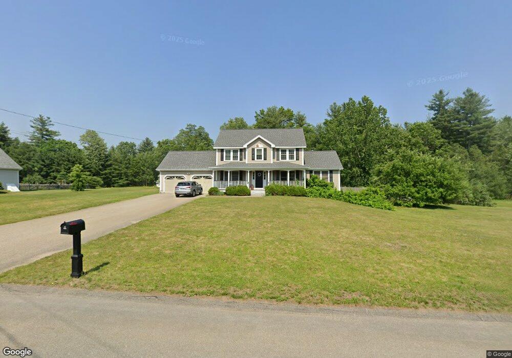
10 Perry Ct Litchfield, NH 03052
Estimated Value: $684,787 - $729,000
3
Beds
3
Baths
2,795
Sq Ft
$255/Sq Ft
Est. Value
About This Home
This home is located at 10 Perry Ct, Litchfield, NH 03052 and is currently estimated at $712,197, approximately $254 per square foot. 10 Perry Ct is a home with nearby schools including Griffin Memorial School, Litchfield Middle School, and Campbell High School.
Ownership History
Date
Name
Owned For
Owner Type
Purchase Details
Closed on
May 13, 2025
Sold by
Pearce Kristin M
Bought by
Kmp Ret and Pearce
Current Estimated Value
Purchase Details
Closed on
May 3, 1999
Sold by
R J Moreau Co Inc
Bought by
Pearce Kristin M and Pearce Robert E
Create a Home Valuation Report for This Property
The Home Valuation Report is an in-depth analysis detailing your home's value as well as a comparison with similar homes in the area
Home Values in the Area
Average Home Value in this Area
Purchase History
| Date | Buyer | Sale Price | Title Company |
|---|---|---|---|
| Kmp Ret | -- | None Available | |
| Kmp Ret | -- | None Available | |
| Pearce Kristin M | $206,300 | -- | |
| Pearce Kristin M | $206,300 | -- |
Source: Public Records
Mortgage History
| Date | Status | Borrower | Loan Amount |
|---|---|---|---|
| Previous Owner | Pearce Kristin M | $349,460 | |
| Previous Owner | Pearce Kristin M | $358,058 | |
| Previous Owner | Pearce Kristin M | $346,500 |
Source: Public Records
Tax History
| Year | Tax Paid | Tax Assessment Tax Assessment Total Assessment is a certain percentage of the fair market value that is determined by local assessors to be the total taxable value of land and additions on the property. | Land | Improvement |
|---|---|---|---|---|
| 2024 | $9,395 | $452,100 | $162,800 | $289,300 |
| 2023 | $9,467 | $452,100 | $162,800 | $289,300 |
| 2022 | $8,603 | $452,100 | $162,800 | $289,300 |
| 2021 | $8,337 | $452,100 | $162,800 | $289,300 |
| 2020 | $8,400 | $452,100 | $162,800 | $289,300 |
| 2019 | $8,360 | $353,500 | $123,300 | $230,200 |
| 2017 | $7,775 | $345,700 | $123,300 | $222,400 |
| 2016 | $7,467 | $345,700 | $123,300 | $222,400 |
| 2015 | $7,045 | $345,700 | $123,300 | $222,400 |
| 2014 | $6,988 | $337,600 | $127,100 | $210,500 |
| 2013 | $6,944 | $337,600 | $127,100 | $210,500 |
Source: Public Records
Map
Nearby Homes
- 10 Whidden Ln
- 1 Tallarico St Unit 14
- 0 Tallarico St Unit 3 5032471
- 0 Tallarico St Unit 5 5032751
- 0 Tallarico St Unit 26
- 0 Tallarico St Unit 12 5033131
- 16 Tallarico St Unit 24
- 26 Tallarico St Unit 21
- 490 Charles Bancroft Hwy
- 23 Brook Rd
- 4 Heron Dr
- 12 Winter Cir
- 12 Forest Ln
- 11B Mustang Dr Unit C
- 11B Mustang Dr Unit B
- 13B Mustang Dr Unit C
- 13B Mustang Dr Unit B
- 11B Mustang Dr Unit END UNIT- A
- 13B Mustang Dr Unit END UNIT-A
- 11B Mustang Dr Unit END UNIT-D
Your Personal Tour Guide
Ask me questions while you tour the home.