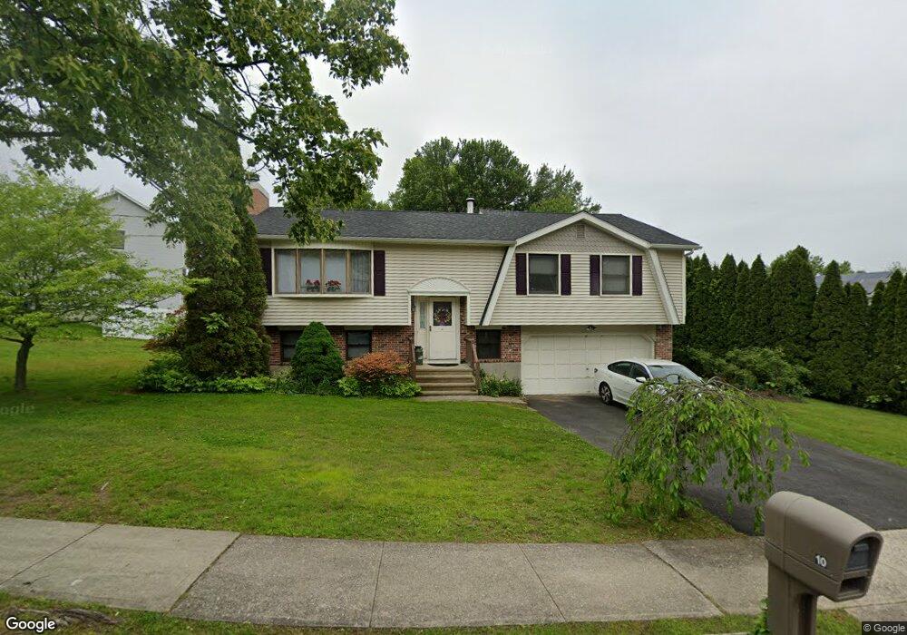
10 Perry Merrill Dr West Haven, CT 06516
West Shore NeighborhoodEstimated Value: $410,000 - $525,000
3
Beds
3
Baths
1,356
Sq Ft
$342/Sq Ft
Est. Value
About This Home
This home is located at 10 Perry Merrill Dr, West Haven, CT 06516 and is currently estimated at $463,366, approximately $341 per square foot. 10 Perry Merrill Dr is a home located in New Haven County with nearby schools including Carrigan 5/6 Intermediate School, Harry M. Bailey Middle School, and West Haven High School.
Ownership History
Date
Name
Owned For
Owner Type
Purchase Details
Closed on
Oct 20, 1997
Sold by
Farace Richard and Farace Janice
Bought by
Toros L Joseph L and Toros Stephanie I
Current Estimated Value
Home Financials for this Owner
Home Financials are based on the most recent Mortgage that was taken out on this home.
Original Mortgage
$105,000
Interest Rate
7.46%
Mortgage Type
Purchase Money Mortgage
Create a Home Valuation Report for This Property
The Home Valuation Report is an in-depth analysis detailing your home's value as well as a comparison with similar homes in the area
Home Values in the Area
Average Home Value in this Area
Purchase History
| Date | Buyer | Sale Price | Title Company |
|---|---|---|---|
| Toros L Joseph L | $155,000 | -- | |
| Toros L Joseph L | $155,000 | -- |
Source: Public Records
Mortgage History
| Date | Status | Borrower | Loan Amount |
|---|---|---|---|
| Open | Toros L Joseph L | $35,000 | |
| Open | Toros L Joseph L | $150,000 | |
| Closed | Toros L Joseph L | $105,000 |
Source: Public Records
Tax History Compared to Growth
Tax History
| Year | Tax Paid | Tax Assessment Tax Assessment Total Assessment is a certain percentage of the fair market value that is determined by local assessors to be the total taxable value of land and additions on the property. | Land | Improvement |
|---|---|---|---|---|
| 2025 | $8,787 | $267,330 | $89,180 | $178,150 |
| 2024 | $8,401 | $179,270 | $61,810 | $117,460 |
| 2023 | $8,085 | $179,270 | $61,810 | $117,460 |
| 2022 | $7,940 | $179,270 | $61,810 | $117,460 |
| 2021 | $7,940 | $179,270 | $61,810 | $117,460 |
| 2020 | $7,972 | $164,010 | $57,120 | $106,890 |
| 2019 | $7,718 | $164,010 | $57,120 | $106,890 |
| 2018 | $7,608 | $164,010 | $57,120 | $106,890 |
| 2017 | $7,403 | $164,010 | $57,120 | $106,890 |
| 2016 | $7,321 | $164,010 | $57,120 | $106,890 |
| 2015 | $8,146 | $204,260 | $77,000 | $127,260 |
| 2014 | $8,146 | $204,260 | $77,000 | $127,260 |
Source: Public Records
Map
Nearby Homes
- 6 Perry Merrill Dr
- 23 Tyroll Ln
- 19 Tyroll Ln
- 2 Perry Merrill Dr
- 17 Perry Merrill Dr
- 21 Perry Merrill Dr
- 9 Perry Merrill Dr
- 13 Perry Merrill Dr
- 5 Perry Merrill Dr
- 15 Tyroll Ln
- 25 Perry Merrill Dr
- 1 Toll Rd
- 50 Spruce Peak Ln
- 29 Perry Merrill Dr
- 26 Ridge Hollow Rd
- 9 Tyroll Ln
- 18 Ridge Hollow Rd
- 22 Ridge Hollow Rd
- 30 Ridge Hollow Rd
- 14 Ridge Hollow Rd