10 Perry Rd Lancaster, MA 01523
Estimated Value: $193,000 - $684,000
1
Bed
1
Bath
475
Sq Ft
$744/Sq Ft
Est. Value
About This Home
This home is located at 10 Perry Rd, Lancaster, MA 01523 and is currently estimated at $353,505, approximately $744 per square foot. 10 Perry Rd is a home located in Worcester County with nearby schools including Mary Rowlandson Elementary School, Luther Burbank Middle School, and Nashoba Regional High School.
Create a Home Valuation Report for This Property
The Home Valuation Report is an in-depth analysis detailing your home's value as well as a comparison with similar homes in the area
Home Values in the Area
Average Home Value in this Area
Tax History Compared to Growth
Tax History
| Year | Tax Paid | Tax Assessment Tax Assessment Total Assessment is a certain percentage of the fair market value that is determined by local assessors to be the total taxable value of land and additions on the property. | Land | Improvement |
|---|---|---|---|---|
| 2025 | $1,737 | $107,500 | $0 | $107,500 |
| 2024 | $1,456 | $83,400 | $0 | $83,400 |
| 2023 | $0 | $68,400 | $0 | $68,400 |
| 2022 | $1,221 | $62,800 | $0 | $62,800 |
| 2021 | $1,119 | $56,000 | $0 | $56,000 |
| 2020 | $1,179 | $59,400 | $0 | $59,400 |
| 2019 | $1,013 | $51,300 | $0 | $51,300 |
| 2018 | $853 | $42,700 | $0 | $42,700 |
| 2016 | $659 | $33,700 | $0 | $33,700 |
| 2015 | $619 | $33,000 | $0 | $33,000 |
| 2014 | $639 | $33,800 | $0 | $33,800 |
Source: Public Records
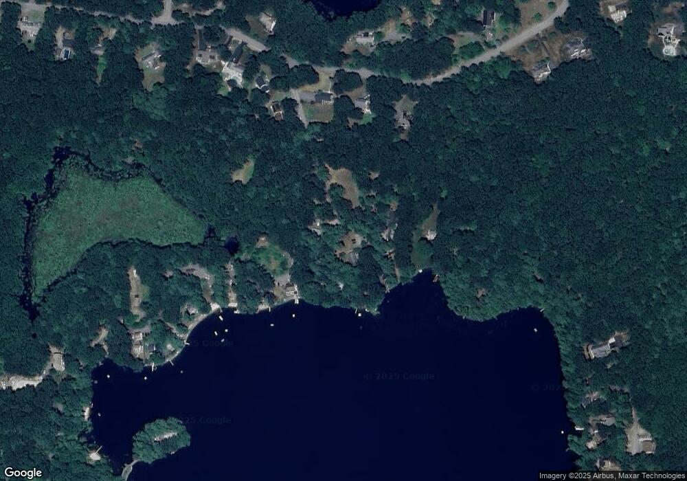
Map
Nearby Homes
- 7 Lawson Ave
- 95 Old Union Turnpike
- 0 Windsor Rd
- 35 Mcgovern Blvd
- 50 Sky Ln
- 27 Lancaster Rd
- 1497 Lunenburg Rd
- 36 Sunrise Ave
- 3 Mill St
- 25 Front St
- 11 Rosewood Dr
- 30 Ayer Rd
- 40 Ayer Rd
- 3 Ambrose Way Unit 3
- 6 Ambrose Way Unit 3
- 19 Ambrose Way Unit 19
- 9 Ambrose Way Unit 9
- 1 Ambrose Way Unit 1
- 7 Ambrose Way Unit 5
- 4 Ambrose Way Unit 4