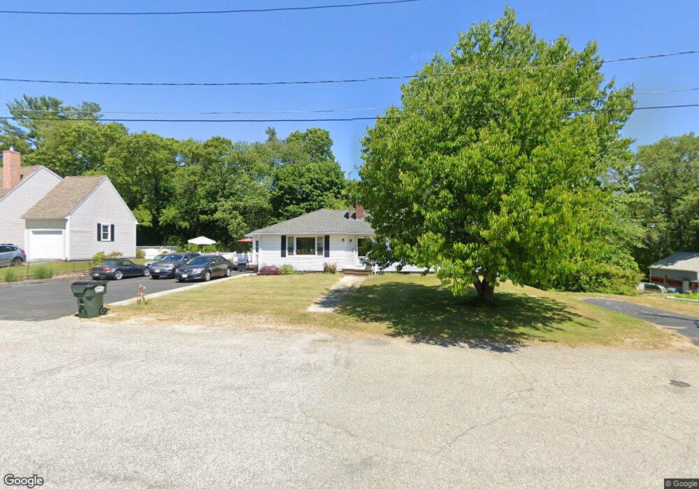
10 Peter St Uxbridge, MA 01569
Estimated Value: $465,429 - $531,000
3
Beds
2
Baths
1,888
Sq Ft
$262/Sq Ft
Est. Value
About This Home
This home is located at 10 Peter St, Uxbridge, MA 01569 and is currently estimated at $493,857, approximately $261 per square foot. 10 Peter St is a home located in Worcester County with nearby schools including Uxbridge High School, Our Lady of the Valley Regional School, and Whitinsville Christian School.
Ownership History
Date
Name
Owned For
Owner Type
Purchase Details
Closed on
Feb 23, 2010
Sold by
Romasco Rt
Bought by
Pjk T
Current Estimated Value
Create a Home Valuation Report for This Property
The Home Valuation Report is an in-depth analysis detailing your home's value as well as a comparison with similar homes in the area
Home Values in the Area
Average Home Value in this Area
Purchase History
| Date | Buyer | Sale Price | Title Company |
|---|---|---|---|
| Pjk T | $214,000 | -- |
Source: Public Records
Tax History
| Year | Tax Paid | Tax Assessment Tax Assessment Total Assessment is a certain percentage of the fair market value that is determined by local assessors to be the total taxable value of land and additions on the property. | Land | Improvement |
|---|---|---|---|---|
| 2025 | $49 | $374,600 | $131,300 | $243,300 |
| 2024 | $4,417 | $341,900 | $120,400 | $221,500 |
| 2023 | $4,087 | $293,000 | $109,400 | $183,600 |
| 2022 | $3,972 | $262,000 | $99,200 | $162,800 |
| 2021 | $4,075 | $257,600 | $94,800 | $162,800 |
| 2020 | $4,041 | $241,400 | $98,500 | $142,900 |
| 2019 | $4,011 | $231,200 | $91,200 | $140,000 |
| 2018 | $3,722 | $216,800 | $91,200 | $125,600 |
| 2017 | $3,723 | $219,500 | $83,800 | $135,700 |
| 2016 | $4,046 | $230,300 | $79,700 | $150,600 |
| 2015 | $3,962 | $227,700 | $79,700 | $148,000 |
Source: Public Records
Map
Nearby Homes
- 79 High St
- 56 S Main St
- 86 Hunter Rd
- 288 High St
- 24 Olde Canal Way Unit 24
- 197 Crownshield Ave Unit 16B
- 197 Crownshield Ave Unit 16A
- 197 Crownshield Ave Unit 16C
- 61 Spring Hill Dr Unit 61
- 20 Nature View Dr Unit 20
- 376 Douglas St
- 223 Mendon St
- 26 Rivulet St
- 395 High St
- 71 Rivulet St Unit B
- 3 Strathmore Shire Unit A
- 12 Hartford Ave E
- 44 Pouts Ln
- 35 Pouts Ln
- 314 Richardson St
- 4 Peter St
- 4 Peter St Unit A
- 4 Peter St Unit B
- 14 Peter St
- Lot 4B Peter St Unit B
- 35 Peter St
- 24 Mary Jane Ave
- Lot4A Peter St Unit A
- Lot1A Peter St Unit A
- 20 Peter St
- 2 Peter St Unit B
- 2 Peter St Unit A
- 2 Peter St
- 2B Peter St
- 3 Peter St
- 3 Peter St Unit A
- 3 Peter St Unit B
- 23 Mary Jane Ave
- 18 Mary Jane Ave
- 1A Peter St Unit A
Your Personal Tour Guide
Ask me questions while you tour the home.