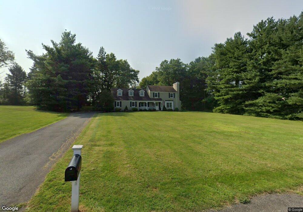
10 Pheasant Ln Milford, NJ 08848
Estimated Value: $584,823 - $695,000
--
Bed
--
Bath
2,658
Sq Ft
$242/Sq Ft
Est. Value
About This Home
This home is located at 10 Pheasant Ln, Milford, NJ 08848 and is currently estimated at $642,706, approximately $241 per square foot. 10 Pheasant Ln is a home located in Hunterdon County with nearby schools including Holland Township Elementary School and Delaware Valley Regional High School.
Ownership History
Date
Name
Owned For
Owner Type
Purchase Details
Closed on
Jan 12, 2000
Sold by
Keller Joseph C
Bought by
Reina Brett M and Reina Tammy L
Current Estimated Value
Home Financials for this Owner
Home Financials are based on the most recent Mortgage that was taken out on this home.
Original Mortgage
$242,200
Outstanding Balance
$76,664
Interest Rate
7.79%
Estimated Equity
$566,042
Create a Home Valuation Report for This Property
The Home Valuation Report is an in-depth analysis detailing your home's value as well as a comparison with similar homes in the area
Home Values in the Area
Average Home Value in this Area
Purchase History
| Date | Buyer | Sale Price | Title Company |
|---|---|---|---|
| Reina Brett M | $255,200 | -- |
Source: Public Records
Mortgage History
| Date | Status | Borrower | Loan Amount |
|---|---|---|---|
| Open | Reina Brett M | $242,200 |
Source: Public Records
Tax History Compared to Growth
Tax History
| Year | Tax Paid | Tax Assessment Tax Assessment Total Assessment is a certain percentage of the fair market value that is determined by local assessors to be the total taxable value of land and additions on the property. | Land | Improvement |
|---|---|---|---|---|
| 2025 | $11,214 | $346,100 | $80,300 | $265,800 |
| 2024 | $10,843 | $346,100 | $80,300 | $265,800 |
| 2023 | $10,843 | $346,100 | $80,300 | $265,800 |
| 2022 | $10,234 | $346,100 | $80,300 | $265,800 |
| 2021 | $9,476 | $346,100 | $80,300 | $265,800 |
| 2020 | $9,916 | $346,100 | $80,300 | $265,800 |
| 2019 | $9,476 | $346,100 | $80,300 | $265,800 |
| 2018 | $9,116 | $346,100 | $80,300 | $265,800 |
| 2017 | $9,185 | $346,100 | $80,300 | $265,800 |
| 2016 | $8,957 | $346,100 | $80,300 | $265,800 |
| 2015 | $8,860 | $346,100 | $80,300 | $265,800 |
| 2014 | $8,545 | $346,100 | $80,300 | $265,800 |
Source: Public Records
Map
Nearby Homes
- 370 Spring Mills-Lt Yk Rd
- 4A Deer Ct
- 9 Deer Path
- 53 Lt York-Patten Burg Rd
- 191 Miller Park Rd
- 00 Sweet Hollow Rd
- 0 Sweet Hollow Rd
- 15 Alaco Ln
- 5 Alaco Ln
- 152 Hickory Corner Rd
- 11 Paetzell Farm Ct
- 9 Paetzell Farm Ct
- 7 Paetzell Farm Ct
- 3 Fire Thorn Dr
- 5 Paetzell Farm Ct
- 3 Paetzell Farm Ct
- 169 York Rd
- 21 Church Rd
- 901 Fox Hill Place
- 3 Winding Way
- 12 Pheasant Ln
- 8 Pheasant Ln
- 0 Spring Mills Rd
- 6 Pheasant Ln
- 4 Pheasant Ln
- 380 Spring Mills Rd
- 0 River Rd
- 370 Spring Mills Rd
- 435 Spring Mills Rd
- 1 Brookfield Dr
- 2 Brookfield Dr
- 7 Brookfield Dr
- 4 Brookfield Dr
- 3 Brookfield Dr
- 5 Brookfield Dr
- 6 Brookfield Dr
- 448 Spring Mills Rd
- 448 Spring Mills Rd
- 12 Brookfield Dr
- 352 Spring Mills Rd