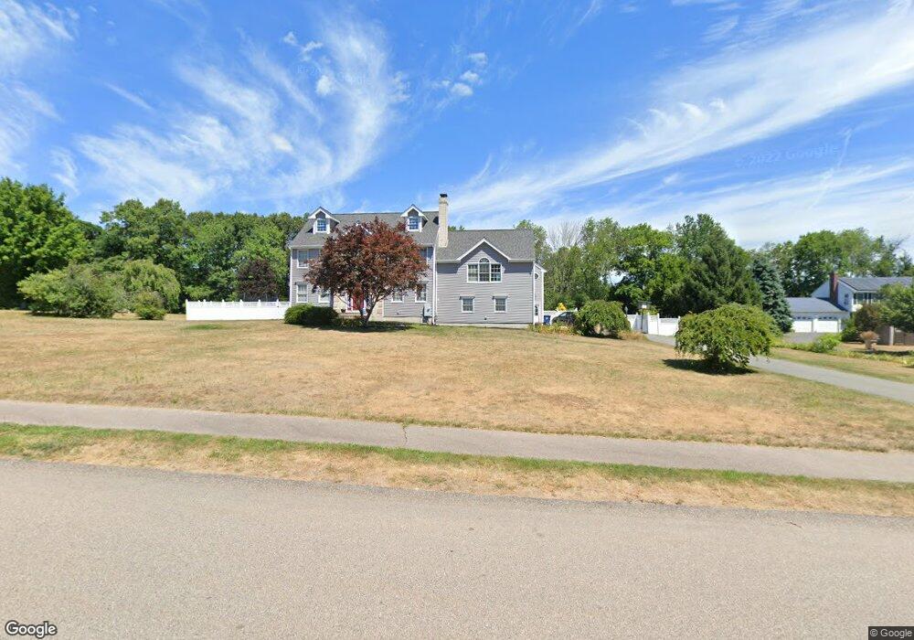
10 Pheasant Run Rd Medway, MA 02053
Estimated Value: $1,007,000 - $1,241,000
5
Beds
3
Baths
3,015
Sq Ft
$363/Sq Ft
Est. Value
About This Home
This home is located at 10 Pheasant Run Rd, Medway, MA 02053 and is currently estimated at $1,094,591, approximately $363 per square foot. 10 Pheasant Run Rd is a home located in Norfolk County with nearby schools including John D. McGovern Elementary School, Burke-Memorial Elementary, and Medway Middle School.
Ownership History
Date
Name
Owned For
Owner Type
Purchase Details
Closed on
Jun 26, 1998
Sold by
Demorais Reginaldo S and Demorais Olnezedia C
Bought by
Cottone Vincent and Cottone Lorraine E
Current Estimated Value
Home Financials for this Owner
Home Financials are based on the most recent Mortgage that was taken out on this home.
Original Mortgage
$270,650
Outstanding Balance
$55,821
Interest Rate
7.09%
Mortgage Type
Purchase Money Mortgage
Estimated Equity
$1,038,770
Create a Home Valuation Report for This Property
The Home Valuation Report is an in-depth analysis detailing your home's value as well as a comparison with similar homes in the area
Home Values in the Area
Average Home Value in this Area
Purchase History
| Date | Buyer | Sale Price | Title Company |
|---|---|---|---|
| Cottone Vincent | $284,900 | -- |
Source: Public Records
Mortgage History
| Date | Status | Borrower | Loan Amount |
|---|---|---|---|
| Open | Cottone Vincent | $68,000 | |
| Closed | Cottone Vincent | $89,000 | |
| Closed | Cottone Vincent | $36,200 | |
| Open | Cottone Vincent | $270,650 |
Source: Public Records
Tax History Compared to Growth
Tax History
| Year | Tax Paid | Tax Assessment Tax Assessment Total Assessment is a certain percentage of the fair market value that is determined by local assessors to be the total taxable value of land and additions on the property. | Land | Improvement |
|---|---|---|---|---|
| 2025 | $12,754 | $895,000 | $339,900 | $555,100 |
| 2024 | $12,888 | $895,000 | $339,900 | $555,100 |
| 2023 | $12,792 | $802,500 | $309,400 | $493,100 |
| 2022 | $11,881 | $701,800 | $228,800 | $473,000 |
| 2021 | $11,993 | $686,900 | $213,500 | $473,400 |
| 2020 | $11,949 | $682,800 | $213,500 | $469,300 |
| 2019 | $11,158 | $657,500 | $204,800 | $452,700 |
| 2018 | $11,272 | $638,300 | $196,100 | $442,200 |
| 2017 | $11,132 | $621,200 | $191,800 | $429,400 |
| 2016 | $10,712 | $591,500 | $176,500 | $415,000 |
| 2015 | $10,619 | $582,200 | $174,300 | $407,900 |
| 2014 | $9,974 | $529,400 | $174,500 | $354,900 |
Source: Public Records
Map
Nearby Homes
- 2 Kingson Ln Unit 2
- 6 Freedom Trail
- 16 Blueberry Hill Rd
- 3 Newton Ln
- 56 Fisher St
- 15 Broad Acres Farm Rd
- 5 Deerfield Rd
- 12 Longmeadow Ln
- 224 Main St
- 16 Gray Squirrel Cir
- 39 West St
- 28 Stable Way
- 14 Millstone Dr Unit 14
- 4 Bullard Cir
- 18 Norfolk Ave
- 37 Maple St
- 0 Pond Unit 73416512
- 0 Pond Unit 24285018
- 329 Village St
- 30 Stone St
- 6 Pheasant Run Rd
- 12 Pheasant Run Rd
- 7 Azalea Dr
- 4 Pheasant Run Rd
- 5 Azalea Dr
- 9 Pheasant Run Rd
- 9 Azalea Dr
- 14 Pheasant Run Rd
- 13 Pheasant Run Rd
- 3 Azalea Dr
- 11 Pheasant Run Rd
- 18 Dogwood Ln
- 8A Azalea Dr
- 6 Azalea Dr
- 1 Azalea Dr
- 5 Pheasant Run Rd
- 4 Azalea Dr
- 2 Azalea Dr
- 16 Dogwood Ln
- 2 Pheasant Run Rd