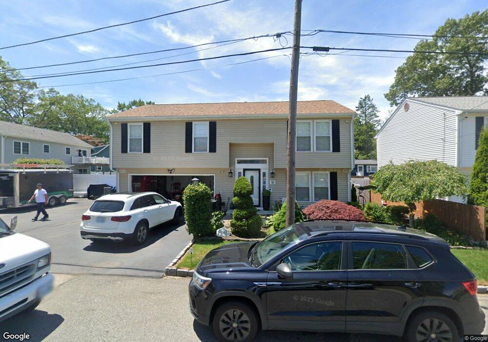
10 Pilgrim Ave Rumford, RI 02916
Phillipsdale NeighborhoodEstimated Value: $436,000 - $517,000
3
Beds
2
Baths
1,706
Sq Ft
$284/Sq Ft
Est. Value
About This Home
This home is located at 10 Pilgrim Ave, Rumford, RI 02916 and is currently estimated at $484,010, approximately $283 per square foot. 10 Pilgrim Ave is a home located in Providence County with nearby schools including East Providence High School, St Margaret School, and Saint Teresa Catholic Elementary School.
Ownership History
Date
Name
Owned For
Owner Type
Purchase Details
Closed on
Nov 20, 2001
Sold by
Mateus Luis A
Bought by
Moura Manuel T and Moura Ana
Current Estimated Value
Create a Home Valuation Report for This Property
The Home Valuation Report is an in-depth analysis detailing your home's value as well as a comparison with similar homes in the area
Home Values in the Area
Average Home Value in this Area
Purchase History
| Date | Buyer | Sale Price | Title Company |
|---|---|---|---|
| Moura Manuel T | $170,000 | -- | |
| Moura Manuel T | $170,000 | -- |
Source: Public Records
Mortgage History
| Date | Status | Borrower | Loan Amount |
|---|---|---|---|
| Open | Moura Manuel T | $268,111 | |
| Closed | Moura Manuel T | $99,300 | |
| Closed | Moura Manuel T | $35,000 |
Source: Public Records
Tax History Compared to Growth
Tax History
| Year | Tax Paid | Tax Assessment Tax Assessment Total Assessment is a certain percentage of the fair market value that is determined by local assessors to be the total taxable value of land and additions on the property. | Land | Improvement |
|---|---|---|---|---|
| 2025 | $6,449 | $493,400 | $157,500 | $335,900 |
| 2024 | $6,199 | $404,400 | $131,300 | $273,100 |
| 2023 | $5,969 | $404,400 | $131,300 | $273,100 |
| 2022 | $5,795 | $265,100 | $68,300 | $196,800 |
| 2021 | $5,700 | $265,100 | $64,900 | $200,200 |
| 2020 | $5,458 | $265,100 | $64,900 | $200,200 |
| 2019 | $5,307 | $265,100 | $64,900 | $200,200 |
| 2018 | $5,317 | $232,400 | $59,200 | $173,200 |
| 2017 | $5,199 | $232,400 | $59,200 | $173,200 |
| 2016 | $5,173 | $232,400 | $59,200 | $173,200 |
| 2015 | $4,994 | $217,600 | $56,300 | $161,300 |
| 2014 | $4,994 | $217,600 | $56,300 | $161,300 |
Source: Public Records
Map
Nearby Homes
- 176 Campbell Ave
- 115 Campbell Ave
- 43 Deer St
- 261 263 Roger Williams Ave
- 200 Roger Williams Ave Unit 207
- 200 Roger Williams Ave Unit 417
- 339 Beverage Hill Ave
- 45 Fortin Ave
- 14 Jones Ave
- 60 Nassau St
- 496 Beverage Hill Ave
- 38 E Point Dr Unit 5
- 36 E Point Dr Unit 4
- 124 Ferris Ave
- 11 Hollow Ridge Rd
- 16 Elm Ave
- 58 Rosella Ave
- 62 York Ave
- 125 Roger Williams Ave
- 95 Washburn Ave
- 14 Pilgrim Ave
- 9 Sheridan Ave
- 11 Pilgrim Ave
- 408 Roger Williams Ave
- 400 Roger Williams Ave
- 18 Pilgrim Ave
- 392 Roger Williams Ave
- 15 Pilgrim Ave
- 17 Sheridan Ave
- 10 Puritan Ave
- 20 Pilgrim Ave
- 16 Puritan Ave
- 8 Sheridan Ave Unit 10
- 6 Puritan Ave
- 388 Roger Williams Ave
- 14 Sheridan Ave
- 33 Sheridan Ave
- 21 Pilgrim Ave
- 20 Puritan Ave
- 22 Pilgrim Ave