10 Placer Dr Dahlonega, GA 30533
Estimated Value: $1,086,872 - $1,378,000
4
Beds
5
Baths
6,520
Sq Ft
$191/Sq Ft
Est. Value
About This Home
This home is located at 10 Placer Dr, Dahlonega, GA 30533 and is currently estimated at $1,243,624, approximately $190 per square foot. 10 Placer Dr is a home located in Lumpkin County with nearby schools including Clay County Middle School and Lumpkin County High School.
Ownership History
Date
Name
Owned For
Owner Type
Purchase Details
Closed on
Sep 2, 2015
Sold by
Smith Jeffrey S
Bought by
Smith Jeffrey S and Smith Sarah B
Current Estimated Value
Home Financials for this Owner
Home Financials are based on the most recent Mortgage that was taken out on this home.
Original Mortgage
$482,000
Outstanding Balance
$379,995
Interest Rate
4.02%
Mortgage Type
New Conventional
Estimated Equity
$863,629
Purchase Details
Closed on
Aug 31, 2015
Sold by
Clemons Michael G
Bought by
Smith Jeffrey S
Home Financials for this Owner
Home Financials are based on the most recent Mortgage that was taken out on this home.
Original Mortgage
$482,000
Outstanding Balance
$379,995
Interest Rate
4.02%
Mortgage Type
New Conventional
Estimated Equity
$863,629
Purchase Details
Closed on
Dec 9, 2004
Sold by
Os& G Enterprises Inc
Bought by
Clemons Michael G
Purchase Details
Closed on
May 28, 2003
Sold by
Owens Valley Farm Lp
Bought by
Os& G Enterprises Inc
Purchase Details
Closed on
Apr 17, 1998
Bought by
Owens Valley Farm Lp
Create a Home Valuation Report for This Property
The Home Valuation Report is an in-depth analysis detailing your home's value as well as a comparison with similar homes in the area
Home Values in the Area
Average Home Value in this Area
Purchase History
| Date | Buyer | Sale Price | Title Company |
|---|---|---|---|
| Smith Jeffrey S | -- | -- | |
| Smith Jeffrey S | $602,500 | -- | |
| Clemons Michael G | $610,000 | -- | |
| Os& G Enterprises Inc | $364,400 | -- | |
| Owens Valley Farm Lp | -- | -- |
Source: Public Records
Mortgage History
| Date | Status | Borrower | Loan Amount |
|---|---|---|---|
| Open | Smith Jeffrey S | $482,000 |
Source: Public Records
Tax History Compared to Growth
Tax History
| Year | Tax Paid | Tax Assessment Tax Assessment Total Assessment is a certain percentage of the fair market value that is determined by local assessors to be the total taxable value of land and additions on the property. | Land | Improvement |
|---|---|---|---|---|
| 2024 | $10,078 | $314,714 | $12,000 | $302,714 |
| 2023 | $8,612 | $298,764 | $12,000 | $286,764 |
| 2022 | $9,224 | $301,948 | $12,000 | $289,948 |
| 2021 | $8,424 | $258,206 | $12,000 | $246,206 |
| 2020 | $8,545 | $252,138 | $12,000 | $240,138 |
| 2019 | $7,532 | $260,138 | $20,000 | $240,138 |
| 2018 | $7,561 | $244,394 | $34,318 | $210,076 |
| 2017 | $8,613 | $232,705 | $34,318 | $198,387 |
| 2016 | $8,230 | $217,543 | $34,318 | $183,225 |
| 2015 | $7,052 | $217,543 | $34,318 | $183,225 |
| 2014 | $7,052 | $219,579 | $34,318 | $185,261 |
| 2013 | -- | $228,162 | $40,866 | $187,296 |
Source: Public Records
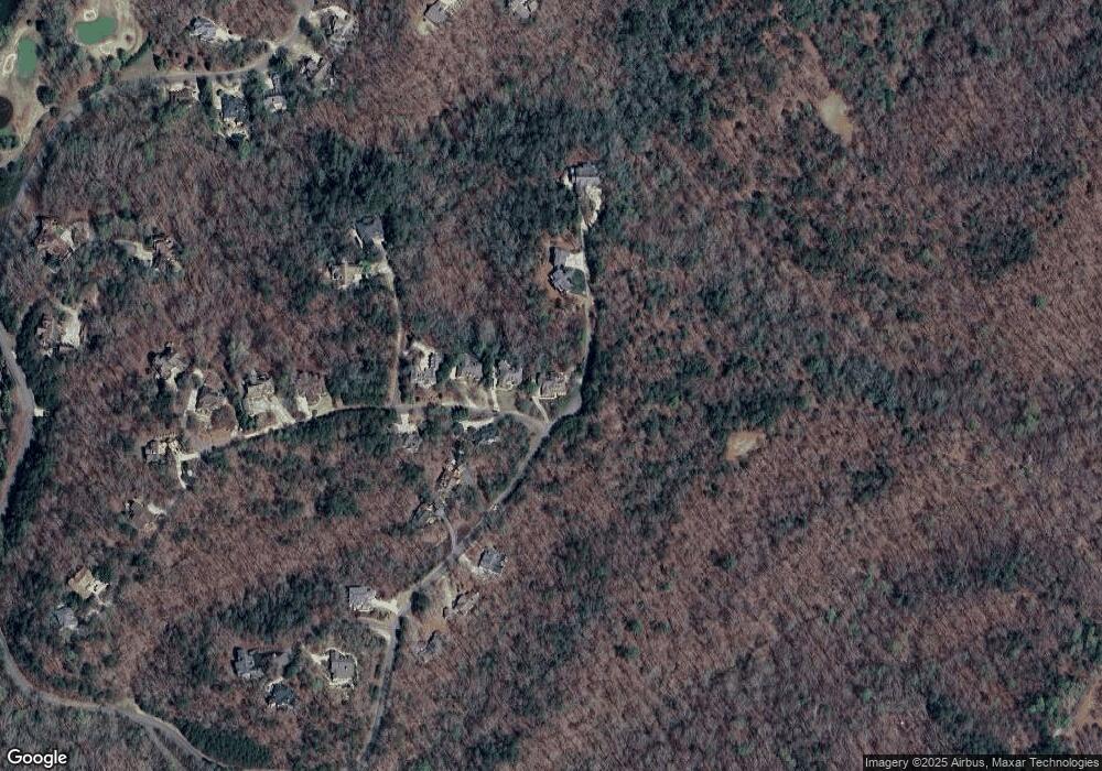
Map
Nearby Homes
- 1364 Birch River Dr
- 1259 Birch River Dr
- 48 Kasten Run
- 176 Stamp Mill Ln
- 133 Stamp Mill Dr
- 0 Stamp Mill Dr
- 179 Golden Bear Pass
- 448 Golden Bear Pass
- 134 Prospector Ridge
- 270 Prospector Ridge
- 1376 Robinson Rd
- 245 Perkins Rd
- 1113 Kiliahote Pass
- 205 Perkins Rd
- 201 Perkins Rd
- 1045 Bear Paw Ridge
- 1040 Bear Paw Ridge
- 1034 Bear Paw Ridge
- 1038 Bear Paw Ridge
- 1036 Bear Paw Ridge
- 0 Placer Dr Unit 8715698
- 0 Placer Dr Unit 8345228
- 0 Placer Dr Unit 3236381
- 79 Mountain Trace Ln Unit 5
- 79 Mountain Trace Ln
- 189 Peace Valley Rd
- 79 Mountain Trace Ln Unit 531
- 53 Mountain Trace Ln
- 0 Mountain Trace Unit 3175415
- 0 Mountain Trace Unit 7583455
- 53 Mountain Trace Pointe
- 832 Mountain Trace Ln
- 0 Mountain Trace Ln Unit 7634638
- 0 Mountain Trace Ln Unit 8219576
- 0 Mountain Trace Ln Unit 7385204
- 0 Mountain Trace Ln
- 531 Mountain Trace Dr
- 29 Placer Dr Unit 508
- 29 Placer Dr
- 48 Placer Dr Unit 527