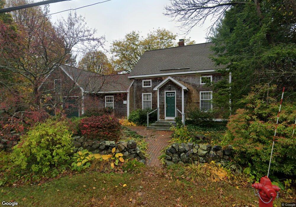
10 Pleasant St Rowley, MA 01969
Estimated Value: $711,000 - $1,188,000
3
Beds
2
Baths
1,954
Sq Ft
$447/Sq Ft
Est. Value
About This Home
This home is located at 10 Pleasant St, Rowley, MA 01969 and is currently estimated at $873,400, approximately $446 per square foot. 10 Pleasant St is a home located in Essex County with nearby schools including Triton Regional High School, North Shore Montessori School, and Clark School.
Ownership History
Date
Name
Owned For
Owner Type
Purchase Details
Closed on
Sep 23, 1994
Sold by
Hayes Peter and Hayes Deborah
Bought by
Schmuch Karl and Schmuch Karen
Current Estimated Value
Create a Home Valuation Report for This Property
The Home Valuation Report is an in-depth analysis detailing your home's value as well as a comparison with similar homes in the area
Home Values in the Area
Average Home Value in this Area
Purchase History
| Date | Buyer | Sale Price | Title Company |
|---|---|---|---|
| Schmuch Karl | $215,000 | -- |
Source: Public Records
Mortgage History
| Date | Status | Borrower | Loan Amount |
|---|---|---|---|
| Closed | Schmuch Karl | $91,750 | |
| Closed | Schmuch Karl | $141,000 | |
| Closed | Schmuch Karl | $155,000 |
Source: Public Records
Tax History Compared to Growth
Tax History
| Year | Tax Paid | Tax Assessment Tax Assessment Total Assessment is a certain percentage of the fair market value that is determined by local assessors to be the total taxable value of land and additions on the property. | Land | Improvement |
|---|---|---|---|---|
| 2025 | $8,511 | $723,100 | $272,600 | $450,500 |
| 2024 | $7,775 | $642,600 | $259,600 | $383,000 |
| 2023 | $8,040 | $599,500 | $225,800 | $373,700 |
| 2022 | $7,867 | $538,100 | $188,200 | $349,900 |
| 2021 | $7,703 | $494,400 | $163,600 | $330,800 |
| 2020 | $7,544 | $484,200 | $155,800 | $328,400 |
| 2019 | $6,863 | $467,500 | $155,800 | $311,700 |
| 2018 | $6,325 | $433,800 | $155,800 | $278,000 |
| 2017 | $5,961 | $421,600 | $155,800 | $265,800 |
| 2016 | $6,097 | $424,600 | $129,000 | $295,600 |
| 2015 | $5,636 | $395,800 | $129,000 | $266,800 |
Source: Public Records
Map
Nearby Homes
- 21 Hammond St
- 78 Wethersfield St
- 19 Morphew Ln Unit 2
- 117 Kittery Ave
- 47 Prospect St
- 79 Spencer Knowles Rd
- 460-472 Newburyport Turnpike
- 304 & 480 Wethersfield St & Nbpt Tnpk
- 480 Newburyport Turnpike
- 601 Newburyport Turnpike
- 1 Osprey Ct
- Lot 4 Osprey Ct
- Lot 3 Osprey Ct
- 8 Longmeadow Dr Unit 14
- 304-312 Wethersfield St
- 308 & 312 Wethersfield St
- 196 Country Club Way
- 3 Choate Ln
- 1 Court Ln
- 75 Country Club Way