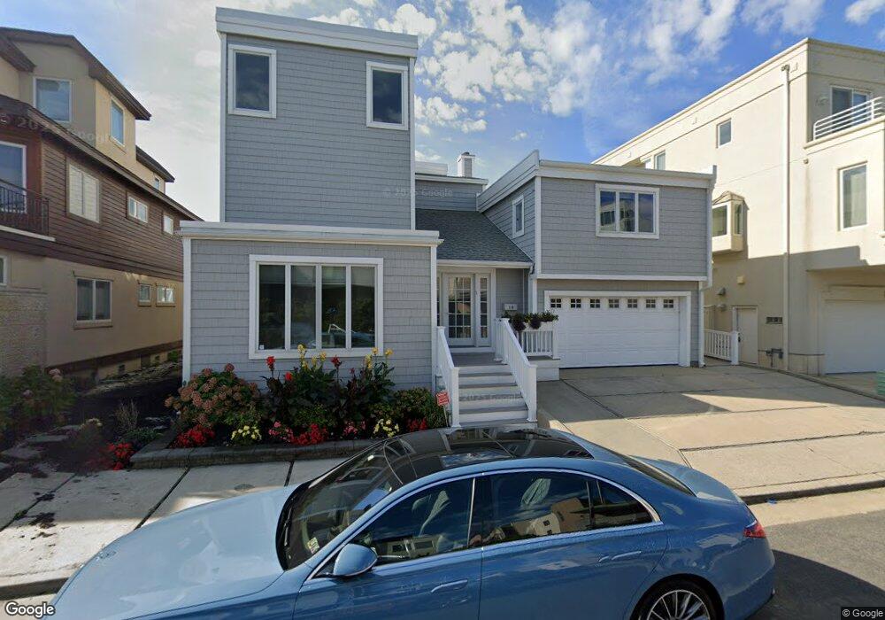
10 Point Dr Longport, NJ 08403
Estimated Value: $4,276,576 - $5,069,000
--
Bed
--
Bath
4,229
Sq Ft
$1,097/Sq Ft
Est. Value
About This Home
This home is located at 10 Point Dr, Longport, NJ 08403 and is currently estimated at $4,640,192, approximately $1,097 per square foot. 10 Point Dr is a home located in Atlantic County with nearby schools including Blessed Sacrament Regional School, St. James Elementary School, and Saint Joseph Regional School.
Ownership History
Date
Name
Owned For
Owner Type
Purchase Details
Closed on
Sep 17, 1996
Sold by
Paparone Donald
Bought by
Blank Carol
Current Estimated Value
Home Financials for this Owner
Home Financials are based on the most recent Mortgage that was taken out on this home.
Original Mortgage
$500,000
Outstanding Balance
$37,530
Interest Rate
6.75%
Estimated Equity
$4,602,662
Purchase Details
Closed on
Feb 25, 1992
Sold by
Paparone Donald
Bought by
Paparone Donald
Purchase Details
Closed on
Nov 29, 1991
Sold by
Mayer Carlo
Bought by
Paparone Donald and Paparone Dominic
Create a Home Valuation Report for This Property
The Home Valuation Report is an in-depth analysis detailing your home's value as well as a comparison with similar homes in the area
Home Values in the Area
Average Home Value in this Area
Purchase History
| Date | Buyer | Sale Price | Title Company |
|---|---|---|---|
| Blank Carol | $930,000 | Settlers Title Agency Lp | |
| Paparone Donald | -- | -- | |
| Paparone Donald | -- | -- | |
| Paparone Donald | $920,000 | -- |
Source: Public Records
Mortgage History
| Date | Status | Borrower | Loan Amount |
|---|---|---|---|
| Open | Blank Carol | $500,000 |
Source: Public Records
Tax History Compared to Growth
Tax History
| Year | Tax Paid | Tax Assessment Tax Assessment Total Assessment is a certain percentage of the fair market value that is determined by local assessors to be the total taxable value of land and additions on the property. | Land | Improvement |
|---|---|---|---|---|
| 2025 | $27,150 | $2,419,800 | $2,040,000 | $379,800 |
| 2024 | $27,150 | $2,419,800 | $2,040,000 | $379,800 |
| 2023 | $24,513 | $2,419,800 | $2,040,000 | $379,800 |
| 2022 | $24,513 | $2,419,800 | $2,040,000 | $379,800 |
| 2021 | $23,545 | $2,419,800 | $2,040,000 | $379,800 |
| 2020 | $23,859 | $2,419,800 | $2,040,000 | $379,800 |
| 2019 | $23,811 | $2,419,800 | $2,040,000 | $379,800 |
| 2018 | $23,811 | $2,419,800 | $2,040,000 | $379,800 |
| 2017 | $23,327 | $2,419,800 | $2,040,000 | $379,800 |
| 2016 | $22,407 | $2,419,800 | $2,040,000 | $379,800 |
| 2015 | $21,948 | $2,419,800 | $2,040,000 | $379,800 |
| 2014 | $18,875 | $2,101,900 | $1,836,000 | $265,900 |
Source: Public Records
Map
Nearby Homes
- 1503 Atlantic Ave Unit 109
- 111 S 16th Ave Unit 415
- 111 S 16th Ave Unit 504
- 111 S 16th Ave Unit 610
- 121 S 17th Ave
- 303 Longport Blvd Unit C-5 (BOAT SLIP)
- 303 Longport Blvd Unit H-21 (BOAT SLIP)
- 2404 Atlantic Ave
- 2700 Atlantic Ave Unit 209
- 2700 Atlantic Ave Unit 419
- 2700 Atlantic Ave Unit 515
- 32 N Pelham Ave
- 32 N Manor Ave
- 3008 Ventnor Ave
- 12 E Newcastle Rd
- 24 N Evergreen Ave
- 3216 Pacific Ave
- 3301 Atlantic Ave
- 522 Waverly Blvd
- 212 N 33rd Ave