Estimated Value: $529,349 - $602,000
3
Beds
2
Baths
1,764
Sq Ft
$321/Sq Ft
Est. Value
About This Home
This home is located at 10 Pollard Ln, Gray, ME 04039 and is currently estimated at $565,450, approximately $320 per square foot. 10 Pollard Ln is a home located in Cumberland County with nearby schools including Gray-New Gloucester High School.
Ownership History
Date
Name
Owned For
Owner Type
Purchase Details
Closed on
Aug 4, 2017
Sold by
Jones Timothy M
Bought by
Hathaway Kegan P
Current Estimated Value
Home Financials for this Owner
Home Financials are based on the most recent Mortgage that was taken out on this home.
Original Mortgage
$234,474
Outstanding Balance
$196,249
Interest Rate
4.25%
Mortgage Type
FHA
Estimated Equity
$369,201
Purchase Details
Closed on
Jun 17, 2005
Sold by
Dunham Paul R and Dunham Ginger D
Bought by
Jones Timothy M
Home Financials for this Owner
Home Financials are based on the most recent Mortgage that was taken out on this home.
Original Mortgage
$200,000
Interest Rate
5.78%
Mortgage Type
Purchase Money Mortgage
Create a Home Valuation Report for This Property
The Home Valuation Report is an in-depth analysis detailing your home's value as well as a comparison with similar homes in the area
Home Values in the Area
Average Home Value in this Area
Purchase History
| Date | Buyer | Sale Price | Title Company |
|---|---|---|---|
| Hathaway Kegan P | -- | -- | |
| Jones Timothy M | -- | -- |
Source: Public Records
Mortgage History
| Date | Status | Borrower | Loan Amount |
|---|---|---|---|
| Open | Hathaway Kegan P | $234,474 | |
| Closed | Jones Timothy M | $200,000 |
Source: Public Records
Tax History Compared to Growth
Tax History
| Year | Tax Paid | Tax Assessment Tax Assessment Total Assessment is a certain percentage of the fair market value that is determined by local assessors to be the total taxable value of land and additions on the property. | Land | Improvement |
|---|---|---|---|---|
| 2025 | $4,720 | $487,600 | $129,800 | $357,800 |
| 2024 | $4,730 | $487,600 | $129,800 | $357,800 |
| 2023 | $4,314 | $284,200 | $59,900 | $224,300 |
| 2022 | $3,965 | $284,200 | $59,900 | $224,300 |
| 2021 | $3,733 | $255,500 | $59,900 | $195,600 |
| 2020 | $3,769 | $255,500 | $59,900 | $195,600 |
| 2019 | $3,769 | $255,500 | $59,900 | $195,600 |
| 2018 | $3,577 | $255,500 | $59,900 | $195,600 |
| 2017 | $3,621 | $190,600 | $48,500 | $142,100 |
| 2016 | $3,488 | $190,600 | $48,500 | $142,100 |
| 2015 | $3,469 | $190,600 | $48,500 | $142,100 |
| 2014 | $3,469 | $190,600 | $48,500 | $142,100 |
| 2012 | $2,995 | $188,939 | $48,480 | $140,459 |
Source: Public Records
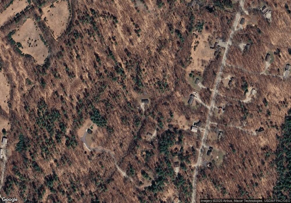
Map
Nearby Homes
- 7 Pollard Ln
- 37 Mountain View Rd
- 41 Mountain View Rd
- 16 Summer Ln
- 6 Summer Ln
- 52 Mountain View Rd
- 8 Summer Ln
- 8A Summer
- 42 Mountain View Rd
- 46 Mountain View Rd
- 0 Summer Ln Unit 890360
- 0 Summer Ln Unit 1279857
- 0 Summer Ln Unit 1301538
- 0 Summer Ln Unit 1354497
- 0 Summer Ln Unit 1472223
- 14 Summer
- 60 Mountain View Rd
- 60-A Mountain View Rd
- 55 Mountain View Rd