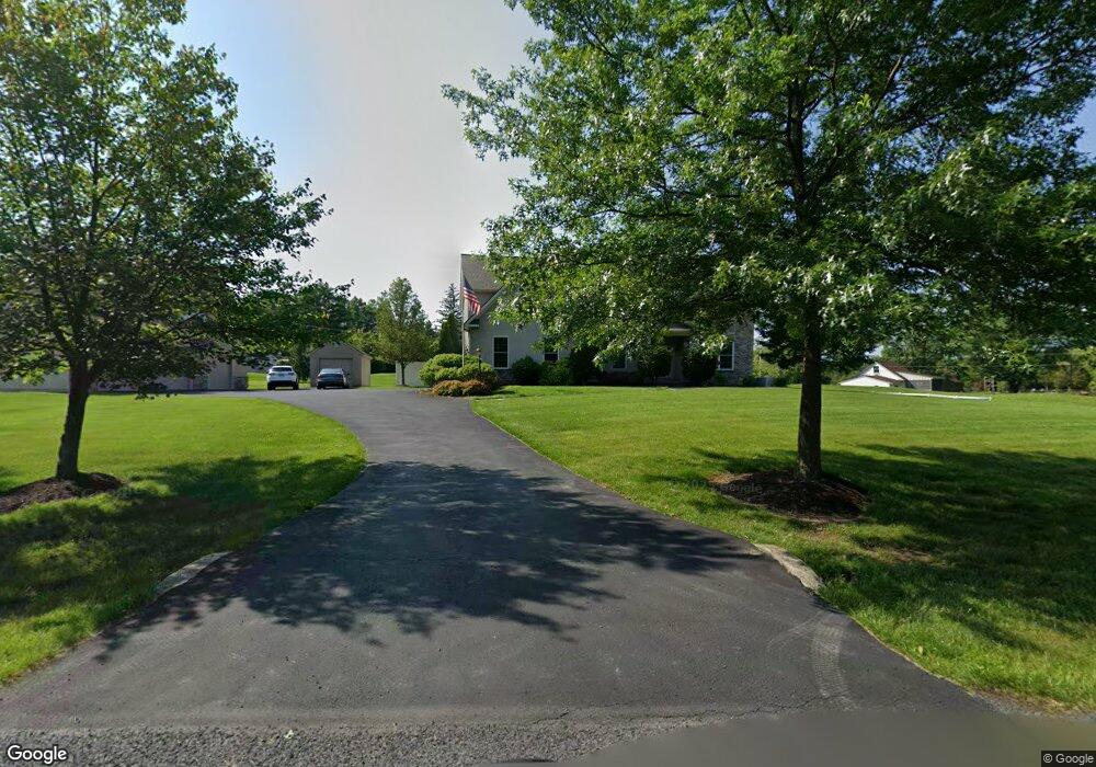
10 Pompa Ln Telford, PA 18969
Salford Township NeighborhoodEstimated Value: $862,326 - $1,019,000
4
Beds
3
Baths
3,500
Sq Ft
$267/Sq Ft
Est. Value
About This Home
This home is located at 10 Pompa Ln, Telford, PA 18969 and is currently estimated at $934,832, approximately $267 per square foot. 10 Pompa Ln is a home located in Montgomery County with nearby schools including Salford Hills Elementary School, Indian Valley Middle School, and Souderton Area Senior High School.
Ownership History
Date
Name
Owned For
Owner Type
Purchase Details
Closed on
Jun 6, 2011
Sold by
Snowden Kenneth H
Bought by
Connor Anne and Connor Shawn
Current Estimated Value
Home Financials for this Owner
Home Financials are based on the most recent Mortgage that was taken out on this home.
Original Mortgage
$417,000
Outstanding Balance
$288,951
Interest Rate
4.74%
Estimated Equity
$645,881
Create a Home Valuation Report for This Property
The Home Valuation Report is an in-depth analysis detailing your home's value as well as a comparison with similar homes in the area
Home Values in the Area
Average Home Value in this Area
Purchase History
| Date | Buyer | Sale Price | Title Company |
|---|---|---|---|
| Connor Anne | $589,000 | None Available |
Source: Public Records
Mortgage History
| Date | Status | Borrower | Loan Amount |
|---|---|---|---|
| Open | Connor Anne | $417,000 |
Source: Public Records
Tax History Compared to Growth
Tax History
| Year | Tax Paid | Tax Assessment Tax Assessment Total Assessment is a certain percentage of the fair market value that is determined by local assessors to be the total taxable value of land and additions on the property. | Land | Improvement |
|---|---|---|---|---|
| 2025 | $13,625 | $346,620 | -- | -- |
| 2024 | $13,625 | $346,620 | -- | -- |
| 2023 | $12,987 | $346,620 | $0 | $0 |
| 2022 | $12,581 | $346,620 | $0 | $0 |
| 2021 | $12,389 | $346,620 | $0 | $0 |
| 2020 | $12,235 | $346,620 | $0 | $0 |
| 2019 | $12,086 | $346,620 | $0 | $0 |
| 2018 | $12,086 | $346,620 | $0 | $0 |
| 2017 | $11,796 | $346,620 | $0 | $0 |
| 2016 | $11,660 | $346,620 | $0 | $0 |
| 2015 | $11,210 | $338,770 | $0 | $0 |
| 2014 | $11,210 | $338,770 | $0 | $0 |
Source: Public Records
Map
Nearby Homes
- 2310 Rostkowski Rd
- 1010 Branch Mill Rd
- 2182 Old Skippack Rd Unit 39
- 1323 Old Sumneytown Pike
- 1171 Old Sumneytown Pike
- 3196 Main St
- 2848 Swamp Creek Rd
- 2359 Hendricks Station Rd
- 5505 Upper Ridge Rd
- 3111 Main St
- 3095 Sumneytown Pike
- 2010 Perkiomenville Rd
- 222 Clump Rd
- 200 Clump Rd
- 1005 Dorchester Ln
- 18 Rosy Ridge Ct
- 1 Fieldstone Ct
- 224 Orchard Ln
- 284 Whites Mill Rd
- 839 Rising Sun Rd