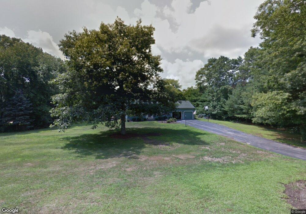
10 Pond St Wrentham, MA 02093
Estimated Value: $679,000 - $885,000
4
Beds
3
Baths
1,840
Sq Ft
$426/Sq Ft
Est. Value
About This Home
This home is located at 10 Pond St, Wrentham, MA 02093 and is currently estimated at $782,945, approximately $425 per square foot. 10 Pond St is a home located in Norfolk County with nearby schools including Delaney Elementary School, Charles E Roderick, and Foxborough Regional Charter School.
Ownership History
Date
Name
Owned For
Owner Type
Purchase Details
Closed on
Feb 24, 2011
Sold by
Dematteo Anthony S and Dematteo Lorraine A
Bought by
Pond Street Nt and Sheridan Alicia A
Current Estimated Value
Purchase Details
Closed on
Aug 31, 1998
Sold by
Wald Shawn E and Wald Susan M
Bought by
Dematteo Anthony S and Dematteo Lorraine A
Home Financials for this Owner
Home Financials are based on the most recent Mortgage that was taken out on this home.
Original Mortgage
$90,000
Interest Rate
6.9%
Mortgage Type
Purchase Money Mortgage
Create a Home Valuation Report for This Property
The Home Valuation Report is an in-depth analysis detailing your home's value as well as a comparison with similar homes in the area
Home Values in the Area
Average Home Value in this Area
Purchase History
| Date | Buyer | Sale Price | Title Company |
|---|---|---|---|
| Pond Street Nt | -- | -- | |
| Dematteo Anthony S | $222,375 | -- |
Source: Public Records
Mortgage History
| Date | Status | Borrower | Loan Amount |
|---|---|---|---|
| Previous Owner | Dematteo Anthony S | $150,000 | |
| Previous Owner | Dematteo Anthony S | $90,000 |
Source: Public Records
Tax History Compared to Growth
Tax History
| Year | Tax Paid | Tax Assessment Tax Assessment Total Assessment is a certain percentage of the fair market value that is determined by local assessors to be the total taxable value of land and additions on the property. | Land | Improvement |
|---|---|---|---|---|
| 2025 | $7,465 | $644,100 | $308,100 | $336,000 |
| 2024 | $7,243 | $603,600 | $308,100 | $295,500 |
| 2023 | $6,903 | $547,000 | $280,500 | $266,500 |
| 2022 | $6,659 | $487,100 | $262,000 | $225,100 |
| 2021 | $6,146 | $436,800 | $229,400 | $207,400 |
| 2020 | $6,206 | $435,500 | $204,600 | $230,900 |
| 2019 | $6,004 | $425,200 | $204,600 | $220,600 |
| 2018 | $5,968 | $419,100 | $204,900 | $214,200 |
| 2017 | $5,835 | $409,500 | $200,900 | $208,600 |
| 2016 | $5,709 | $399,800 | $195,100 | $204,700 |
| 2015 | $5,647 | $377,000 | $187,600 | $189,400 |
| 2014 | $5,332 | $348,300 | $165,800 | $182,500 |
Source: Public Records
Map
Nearby Homes
- 65 Pond St
- 362 East St
- 483 Thurston St
- 120 Hawes St
- 1 Lorraine Metcalf Dr
- 270 Dedham St
- 25 Foxboro Rd
- 11 Goodwin Dr
- 319 Taunton St
- 10 Nature View Dr
- 15 Nature View Dr
- 7 Hill St Unit 10
- 80 Mill St
- 20 Valley St Unit 20
- 11 Earle Stewart Ln
- 131 Creek St Unit 7
- 71 Pond St
- Lot 3 - 14 Earle Stewart Ln
- Lot 1 - Blueberry 2 Car Plan at King Philip Estates
- Lot 8 - Blueberry 2 Car Plan at King Philip Estates