Estimated Value: $503,000 - $588,356
--
Bed
--
Bath
1,603
Sq Ft
$337/Sq Ft
Est. Value
About This Home
This home is located at 10 Poplar Rd, Cody, WY 82414 and is currently estimated at $540,785, approximately $337 per square foot. 10 Poplar Rd is a home located in Park County with nearby schools including Cody Middle School and Cody High School.
Ownership History
Date
Name
Owned For
Owner Type
Purchase Details
Closed on
Mar 2, 2005
Sold by
Ronne Blaine
Bought by
Ronne Steven M
Current Estimated Value
Home Financials for this Owner
Home Financials are based on the most recent Mortgage that was taken out on this home.
Original Mortgage
$132,000
Interest Rate
5.67%
Mortgage Type
New Conventional
Purchase Details
Closed on
Feb 25, 2005
Sold by
Ronne Sandra L
Bought by
Ronne Steven M
Home Financials for this Owner
Home Financials are based on the most recent Mortgage that was taken out on this home.
Original Mortgage
$132,000
Interest Rate
5.67%
Mortgage Type
New Conventional
Create a Home Valuation Report for This Property
The Home Valuation Report is an in-depth analysis detailing your home's value as well as a comparison with similar homes in the area
Home Values in the Area
Average Home Value in this Area
Purchase History
| Date | Buyer | Sale Price | Title Company |
|---|---|---|---|
| Ronne Steven M | -- | None Available | |
| Ronne Steven M | -- | None Available |
Source: Public Records
Mortgage History
| Date | Status | Borrower | Loan Amount |
|---|---|---|---|
| Closed | Ronne Steven M | $132,000 | |
| Closed | Ronne Steven M | $132,000 |
Source: Public Records
Tax History Compared to Growth
Tax History
| Year | Tax Paid | Tax Assessment Tax Assessment Total Assessment is a certain percentage of the fair market value that is determined by local assessors to be the total taxable value of land and additions on the property. | Land | Improvement |
|---|---|---|---|---|
| 2025 | $1,596 | $22,971 | $4,055 | $18,916 |
| 2024 | $3,096 | $44,540 | $8,110 | $36,430 |
| 2023 | $2,992 | $43,049 | $7,825 | $35,224 |
| 2022 | $2,756 | $39,309 | $7,508 | $31,801 |
| 2021 | $2,007 | $28,673 | $6,337 | $22,336 |
| 2020 | $1,875 | $26,788 | $5,434 | $21,354 |
| 2019 | $1,752 | $25,030 | $5,434 | $19,596 |
| 2018 | $1,695 | $24,221 | $5,180 | $19,041 |
| 2017 | $1,638 | $23,397 | $4,610 | $18,787 |
| 2016 | $1,554 | $22,203 | $4,613 | $17,590 |
| 2015 | -- | $20,874 | $4,613 | $16,261 |
| 2014 | -- | $20,853 | $4,817 | $16,036 |
Source: Public Records
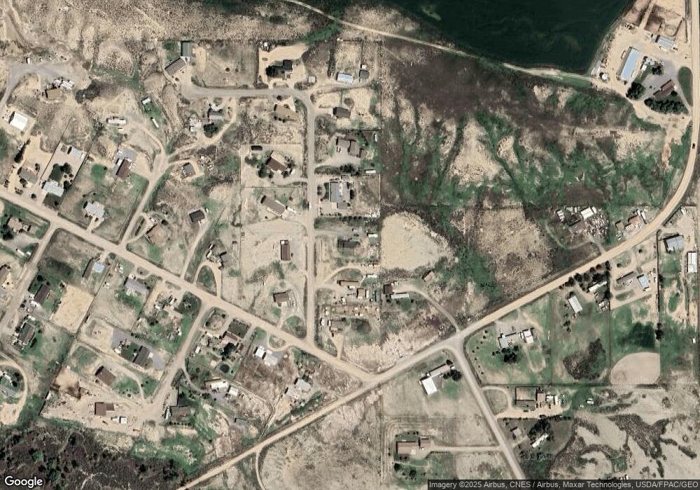
Map
Nearby Homes
- TBD Road 2ab Unit 2
- 144 Road 2abn
- TBD Hitching Post Dr
- 5 Breezy Ln
- 41 Road 2ab
- 89 W Rocky Rd
- 28 Pearson Ave
- 138 Pleasant View Dr Unit Lot 8
- 3120 E Ave
- 2919 Faith Ct
- 3031 Lame Deer Ave
- 3131 Hardpan Ave
- 3207 Hardpan Ave
- 0 Pintail St Unit 6 thru 12 10019710
- 0 Pintail St Unit 1-2-3 10019709
- 0 Pintail St Unit 4 and 5 10019708
- 2850 Kent Ave Unit E-23
- 520 E Circle Dr
- 2532 Big Horn Ave
- TBD Steamboat Ct Unit Lot P7-15