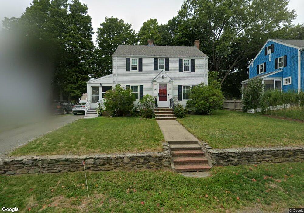
10 Porter Rd Waltham, MA 02452
North Waltham NeighborhoodEstimated Value: $638,000 - $776,000
3
Beds
2
Baths
1,332
Sq Ft
$551/Sq Ft
Est. Value
About This Home
This home is located at 10 Porter Rd, Waltham, MA 02452 and is currently estimated at $733,300, approximately $550 per square foot. 10 Porter Rd is a home located in Middlesex County with nearby schools including Northeast Elementary School, John F Kennedy Middle School, and Waltham Sr High School.
Ownership History
Date
Name
Owned For
Owner Type
Purchase Details
Closed on
Dec 8, 1989
Sold by
Daly John M
Bought by
Daly John M
Current Estimated Value
Home Financials for this Owner
Home Financials are based on the most recent Mortgage that was taken out on this home.
Original Mortgage
$52,000
Interest Rate
9.72%
Mortgage Type
Purchase Money Mortgage
Create a Home Valuation Report for This Property
The Home Valuation Report is an in-depth analysis detailing your home's value as well as a comparison with similar homes in the area
Home Values in the Area
Average Home Value in this Area
Purchase History
| Date | Buyer | Sale Price | Title Company |
|---|---|---|---|
| Daly John M | $108,180 | -- |
Source: Public Records
Mortgage History
| Date | Status | Borrower | Loan Amount |
|---|---|---|---|
| Closed | Daly John M | $52,000 |
Source: Public Records
Tax History
| Year | Tax Paid | Tax Assessment Tax Assessment Total Assessment is a certain percentage of the fair market value that is determined by local assessors to be the total taxable value of land and additions on the property. | Land | Improvement |
|---|---|---|---|---|
| 2025 | $6,663 | $678,500 | $413,700 | $264,800 |
| 2024 | $6,328 | $656,400 | $394,400 | $262,000 |
| 2023 | $6,232 | $603,900 | $358,500 | $245,400 |
| 2022 | $6,522 | $585,500 | $351,400 | $234,100 |
| 2021 | $6,317 | $558,000 | $337,000 | $221,000 |
| 2020 | $6,206 | $519,300 | $315,500 | $203,800 |
| 2019 | $5,972 | $471,700 | $302,000 | $169,700 |
| 2018 | $5,451 | $432,300 | $279,700 | $152,600 |
| 2017 | $5,114 | $407,200 | $254,600 | $152,600 |
| 2016 | $4,852 | $396,400 | $243,800 | $152,600 |
| 2015 | $4,790 | $364,800 | $218,700 | $146,100 |
Source: Public Records
Map
Nearby Homes
- 100 Shirley Rd
- 43 Agassiz Ave
- 50 Moraine St
- 345 Bishops Forest Dr
- 51 Harrington St Unit 51
- 43-43A Chandler St
- 31 Greensbrook Way
- 289 Bishops Forest Dr
- 135 Marsh St
- 40 Knowles Rd
- 107 Clocktower Dr Unit 3302
- 78 Barbara Rd Unit 1
- 144-146 White St
- 52 Hawthorne St Unit 1
- 918 Belmont St
- 53 Crestview Rd
- 49 Pierce Rd Unit 49
- 9 Henry St Unit 9
- 3 Henry St
- 59 Farnum Rd
Your Personal Tour Guide
Ask me questions while you tour the home.