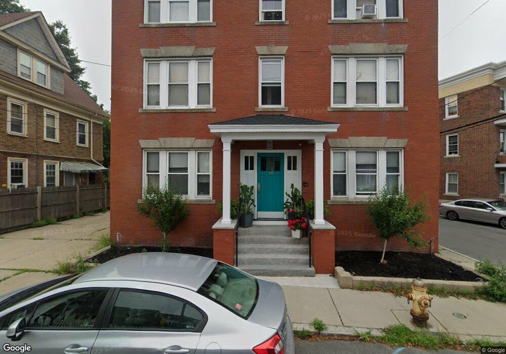
10 Porter St Unit 3 Salem, MA 01970
The Point NeighborhoodEstimated Value: $220,000 - $425,000
2
Beds
1
Bath
808
Sq Ft
$391/Sq Ft
Est. Value
About This Home
This home is located at 10 Porter St Unit 3, Salem, MA 01970 and is currently estimated at $316,027, approximately $391 per square foot. 10 Porter St Unit 3 is a home located in Essex County with nearby schools including Saltonstall School, Carlton Elementary School, and Bates Elementary School.
Ownership History
Date
Name
Owned For
Owner Type
Purchase Details
Closed on
Jun 8, 2005
Sold by
Salem Point Rental Cor
Bought by
Berges Carmen R
Current Estimated Value
Home Financials for this Owner
Home Financials are based on the most recent Mortgage that was taken out on this home.
Original Mortgage
$63,027
Outstanding Balance
$32,967
Interest Rate
5.79%
Mortgage Type
Purchase Money Mortgage
Estimated Equity
$283,060
Create a Home Valuation Report for This Property
The Home Valuation Report is an in-depth analysis detailing your home's value as well as a comparison with similar homes in the area
Home Values in the Area
Average Home Value in this Area
Purchase History
| Date | Buyer | Sale Price | Title Company |
|---|---|---|---|
| Berges Carmen R | $102,945 | -- |
Source: Public Records
Mortgage History
| Date | Status | Borrower | Loan Amount |
|---|---|---|---|
| Open | Berges Carmen R | $63,027 | |
| Closed | Berges Carmen R | $20,589 |
Source: Public Records
Tax History
| Year | Tax Paid | Tax Assessment Tax Assessment Total Assessment is a certain percentage of the fair market value that is determined by local assessors to be the total taxable value of land and additions on the property. | Land | Improvement |
|---|---|---|---|---|
| 2025 | $2,080 | $183,400 | $0 | $183,400 |
| 2024 | $2,015 | $173,400 | $0 | $173,400 |
| 2023 | $1,860 | $148,700 | $0 | $148,700 |
| 2022 | $1,797 | $135,600 | $0 | $135,600 |
| 2021 | $1,765 | $127,900 | $0 | $127,900 |
| 2020 | $1,699 | $117,600 | $0 | $117,600 |
| 2019 | $1,652 | $109,400 | $0 | $109,400 |
| 2018 | $1,535 | $99,800 | $0 | $99,800 |
| 2017 | $1,546 | $97,500 | $0 | $97,500 |
| 2016 | $1,431 | $91,300 | $0 | $91,300 |
| 2015 | $1,460 | $89,000 | $0 | $89,000 |
Source: Public Records
Map
Nearby Homes
- 185 Lafayette St Unit 3
- 7 Fairfield St
- 3 Chase St
- 88 Congress St Unit 3
- 22 Prescott St Unit 1
- 13 Roslyn St Unit 2
- 59 Leach St Unit 2
- 6R Hazel Terrace Unit 1
- 86 Wharf St Unit 6
- 10 Hazel St Unit 2
- 11 Summer St
- 15 Phelps St Unit 1
- 289 Essex St Unit 211
- 11 Church St Unit 203
- 11 Church St Unit 702
- 11 Church St Unit 703
- 9 Glover St Unit 1
- 10.5 Herbert St Unit 21
- 4 Willow Ave Unit 2
- 65 Washington St Unit 512
- 10 Porter St Unit 6
- 10 Porter St Unit 5
- 10 Porter St Unit 4
- 10 Porter St Unit 2
- 10 Porter St Unit 1
- 12 Porter St
- 12 Porter St Unit 3
- 12 Porter St Unit 1
- 14 Porter St
- 2 Cherry St
- 8 Porter Street Ct Unit 3
- 10 Porter Street Ct
- 10 Porter Street Ct Unit 1
- 4 Porter St
- 1 Cherry St
- 18 Porter St
- 15 Porter St
- 9 Cherry St
- 9 Cherry St Unit 1
- 9 Cherry St Unit 2
Your Personal Tour Guide
Ask me questions while you tour the home.