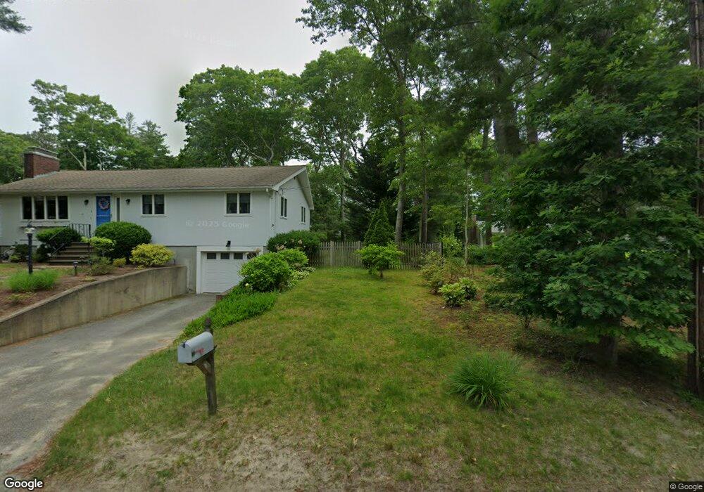
10 Quamhassett Rd Bourne, MA 2532
Buzzards Bay NeighborhoodEstimated Value: $568,000 - $626,000
2
Beds
3
Baths
1,092
Sq Ft
$558/Sq Ft
Est. Value
About This Home
This home is located at 10 Quamhassett Rd, Bourne, MA 2532 and is currently estimated at $609,549, approximately $558 per square foot. 10 Quamhassett Rd is a home located in Barnstable County with nearby schools including Bourne High School and St Margaret Regional School.
Ownership History
Date
Name
Owned For
Owner Type
Purchase Details
Closed on
Jul 17, 2025
Sold by
Antoon Cape Cod Irt and Antoon
Bought by
Rockwell Robert J and Costa Ronald
Current Estimated Value
Purchase Details
Closed on
Mar 3, 2009
Sold by
Antoon Fred J
Bought by
Antoon Cape Cod Irt and Oconnell
Create a Home Valuation Report for This Property
The Home Valuation Report is an in-depth analysis detailing your home's value as well as a comparison with similar homes in the area
Home Values in the Area
Average Home Value in this Area
Purchase History
| Date | Buyer | Sale Price | Title Company |
|---|---|---|---|
| Rockwell Robert J | $624,000 | -- | |
| Rockwell Robert J | $624,000 | -- | |
| Antoon Cape Cod Irt | -- | -- | |
| Antoon Cape Cod Irt | -- | -- | |
| Antoon Cape Cod Irt | -- | -- |
Source: Public Records
Tax History Compared to Growth
Tax History
| Year | Tax Paid | Tax Assessment Tax Assessment Total Assessment is a certain percentage of the fair market value that is determined by local assessors to be the total taxable value of land and additions on the property. | Land | Improvement |
|---|---|---|---|---|
| 2025 | $4,517 | $578,400 | $312,400 | $266,000 |
| 2024 | $4,417 | $550,800 | $297,500 | $253,300 |
| 2023 | $4,319 | $490,200 | $263,300 | $226,900 |
| 2022 | $4,549 | $450,800 | $282,400 | $168,400 |
| 2021 | $4,419 | $410,300 | $257,000 | $153,300 |
| 2020 | $4,301 | $400,500 | $254,600 | $145,900 |
| 2019 | $4,123 | $392,300 | $254,600 | $137,700 |
| 2018 | $3,869 | $367,100 | $242,500 | $124,600 |
| 2017 | $3,744 | $363,500 | $240,200 | $123,300 |
| 2016 | $3,649 | $359,200 | $240,200 | $119,000 |
| 2015 | $3,617 | $359,200 | $240,200 | $119,000 |
Source: Public Records
Map
Nearby Homes
- 41 Lewis Point Rd
- 17 Maple St
- 0 Lewis Point Rd
- 3 Wolf Rd
- 65 Lewis Point Rd
- 73 Lewis Point Rd
- 34 Washington Ave
- 162 Puritan Rd
- 171 Puritan Rd
- 16 Washington Ave
- 151 - 153 Main St
- 46 Holt Rd
- 46 Holt Rd Unit A
- 56 Rip Van Winkle Way
- 9 Hideaway Rd Unit F
- 4 Knob Ln
- 27 Baker Ln Unit 27H
- 13 Hideaway Village Unit G
- 304 Main St
- 810 Head of The Bay Rd
- 6 Quamhassett Rd
- 8 Quamhassett Rd
- 8 Quamhassett Rd
- 12 Quamhassett Rd
- 12 Quamhassett Rd
- 12 Quamhassett Rd
- 4 Quamhassett Rd
- 4 Quamhassett Rd
- 8 Quamhasset Rd
- 14 Quamhassett Rd
- 16 Quamhassett Rd
- 2 Quamhassett Rd
- 2 Quamhassett Rd
- 2 Quamhassett Rd
- 16 Quamhassett Rd
- 9 Quamhassett Rd
- 9 Quamhassett Rd
- 15 Quamhassett Rd
- 15 Quamhassett Rd
- 7 Quamhassett Rd