10 Ramsay Ln White Salmon, WA 98672
Estimated Value: $729,000 - $1,041,000
2
Beds
3
Baths
2,640
Sq Ft
$324/Sq Ft
Est. Value
About This Home
This home is located at 10 Ramsay Ln, White Salmon, WA 98672 and is currently estimated at $855,999, approximately $324 per square foot. 10 Ramsay Ln is a home located in Klickitat County with nearby schools including Hulan L. Whitson Elementary School, Wallace & Priscilla Stevenson Intermediate School, and Wayne M. Henkle Middle School.
Ownership History
Date
Name
Owned For
Owner Type
Purchase Details
Closed on
Jun 27, 2018
Sold by
Sundberg D Gregory and The Sundberg Living Trust
Bought by
Grose Jeremy and Cornelius Lindsay
Current Estimated Value
Home Financials for this Owner
Home Financials are based on the most recent Mortgage that was taken out on this home.
Original Mortgage
$311,250
Outstanding Balance
$270,341
Interest Rate
4.6%
Mortgage Type
New Conventional
Estimated Equity
$585,658
Create a Home Valuation Report for This Property
The Home Valuation Report is an in-depth analysis detailing your home's value as well as a comparison with similar homes in the area
Home Values in the Area
Average Home Value in this Area
Purchase History
| Date | Buyer | Sale Price | Title Company |
|---|---|---|---|
| Grose Jeremy | $414,719 | None Available |
Source: Public Records
Mortgage History
| Date | Status | Borrower | Loan Amount |
|---|---|---|---|
| Open | Grose Jeremy | $311,250 |
Source: Public Records
Tax History Compared to Growth
Tax History
| Year | Tax Paid | Tax Assessment Tax Assessment Total Assessment is a certain percentage of the fair market value that is determined by local assessors to be the total taxable value of land and additions on the property. | Land | Improvement |
|---|---|---|---|---|
| 2025 | $4,964 | $637,600 | $175,000 | $462,600 |
| 2023 | $4,964 | $581,900 | $175,000 | $406,900 |
| 2022 | $4,803 | $435,100 | $120,000 | $315,100 |
| 2021 | $4,846 | $452,380 | $132,280 | $320,100 |
| 2020 | $4,846 | $425,630 | $105,530 | $320,100 |
| 2018 | $3,364 | $316,130 | $105,530 | $210,600 |
| 2017 | $3,080 | $316,130 | $105,530 | $210,600 |
| 2016 | -- | $310,630 | $105,530 | $205,100 |
| 2015 | $3,710 | $317,030 | $105,530 | $211,500 |
| 2013 | $3,710 | $329,130 | $100,530 | $228,600 |
Source: Public Records
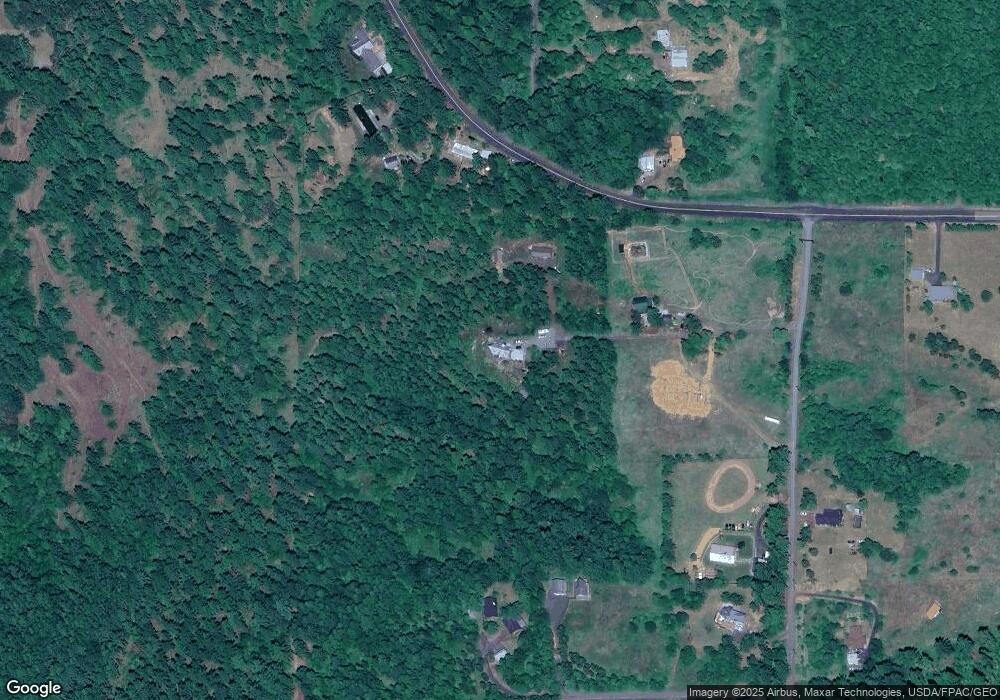
Map
Nearby Homes
- 15 Brookside Dr
- 59 Tunnel Rd
- 308 Maple St
- 211 Eagle Ridge Dr
- 311 Lincoln St
- 113 Ingram Place
- 116 Ingram Place
- 218 W Franklin St
- 204 N Walnut St
- 113 N Walnut St
- 0 Poplar Dr Unit 10 481542599
- 0 Poplar Dr Unit 2
- 0 W Steuben St
- 1027/1012 SE Oak St
- 706 W Steuben St
- 0 Lot Off Vine St
- 640 E Jewett Blvd
- 590 NE Spring St
- 101 Cooke Rd
- 121 Cooke Rd
- 7 Meadowlark Ln
- 165 Tunnel Rd
- 161 Tunnel Rd
- 9 Windago Ln
- 159 Tunnel Rd
- 174 Tunnel Rd
- 11 Windago Ln
- 159 Tunnel Rd
- 19 Ramsay Ln
- 155 Tunnel Rd
- 25 Ramsay Ln
- 11 Maple Leaf Ln
- 18 Ramsay Ln
- 0 Maple Leaf Ln
- 0 Fawcett Rd Unit 1 21072632
- 0 Fawcett Rd Unit Lot 3 18314700
- 0 Fawcett Rd Unit 13173723
- 0 Fawcett Rd Unit 13641422
- 0 Fawcett Rd Unit 14216350
- 0 Fawcett Rd Unit 14600042